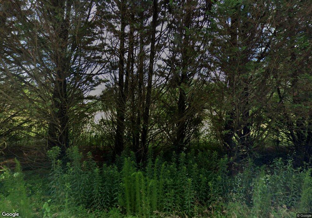
433 Ross Rd Winder, GA 30680
Estimated Value: $392,000 - $440,000
2
Beds
1
Bath
1,800
Sq Ft
$233/Sq Ft
Est. Value
About This Home
This home is located at 433 Ross Rd, Winder, GA 30680 and is currently estimated at $419,333, approximately $232 per square foot. 433 Ross Rd is a home located in Barrow County with nearby schools including Statham Elementary School, Bear Creek Middle School, and Winder-Barrow High School.
Ownership History
Date
Name
Owned For
Owner Type
Purchase Details
Closed on
Jul 2, 2007
Sold by
Moore Richard L
Bought by
Sims Royce and Sims Carolyn
Current Estimated Value
Purchase Details
Closed on
Aug 30, 1996
Sold by
Moore Richard Lee
Bought by
Moore Richard Lee
Purchase Details
Closed on
Aug 29, 1996
Sold by
Moore Richard and Moore Mich
Bought by
Moore Richard Lee
Purchase Details
Closed on
Nov 20, 1987
Bought by
Moore Richard Lee
Create a Home Valuation Report for This Property
The Home Valuation Report is an in-depth analysis detailing your home's value as well as a comparison with similar homes in the area
Home Values in the Area
Average Home Value in this Area
Purchase History
| Date | Buyer | Sale Price | Title Company |
|---|---|---|---|
| Sims Royce | $190,000 | -- | |
| Moore Richard Lee | -- | -- | |
| Moore Richard Lee | -- | -- | |
| Moore Richard Lee | $70,000 | -- |
Source: Public Records
Tax History Compared to Growth
Tax History
| Year | Tax Paid | Tax Assessment Tax Assessment Total Assessment is a certain percentage of the fair market value that is determined by local assessors to be the total taxable value of land and additions on the property. | Land | Improvement |
|---|---|---|---|---|
| 2024 | $2,835 | $118,257 | $77,380 | $40,877 |
| 2023 | $2,409 | $118,257 | $77,380 | $40,877 |
| 2022 | $1,174 | $102,554 | $77,380 | $25,174 |
| 2021 | $1,042 | $77,992 | $54,472 | $23,520 |
| 2020 | $921 | $57,155 | $35,685 | $21,470 |
| 2019 | $1,064 | $61,431 | $35,685 | $25,746 |
| 2018 | $1,041 | $61,416 | $35,685 | $25,731 |
| 2017 | $1,683 | $57,795 | $35,685 | $22,110 |
| 2016 | $881 | $52,420 | $8,098 | $44,321 |
| 2015 | $896 | $52,843 | $8,098 | $44,744 |
| 2014 | -- | $44,239 | $5,669 | $38,570 |
| 2013 | -- | $44,016 | $5,668 | $38,347 |
Source: Public Records
Map
Nearby Homes
- 1228 Georgia Highway 211
- 206 Ballast Trail
- 1228 Highway 211 NE
- 1212 Highway 211 NE
- 1226 Highway 211 NE
- 330 Anchors Way
- 1014 Brynn Dr
- 504 Stoney Creek Dr
- 388 Kay Dr Unit 1
- 419 Pleasant Hill Church Rd NE
- 130 (Tract 1) Bowman Mill Rd NE
- 1553 Shoal Creek Dr
- 130 Bowman Mill Rd NE Unit 1
- 385 Finch Landing Rd
- 23 Pierce Trail
- 380 Glenn Trail
- 508 Pleasant Hill Church Rd NE
- 315 Paige Way
- 1593 Highway 82
- 1423 Red Oak Way
- 340 Royal Oaks Dr
- 342 Royal Oaks Dr
- 1241 Clearwater Dr Unit Lot 26
- 1241 Clearwater Dr
- 1243 Clearwater Dr Unit Lot 27
- 1243 Clearwater Dr
- 1243 Clearwater Dr Unit 1
- 344 Royal Oaks Dr
- 338 Royal Oaks Dr
- 1245 Clearwater Dr Unit Lot 28
- 1245 Clearwater Dr
- 1245 Clearwater Dr Unit A
- 532 Cherokee Rd
- 1239 Clearwater Dr
- 346 Royal Oaks Dr
- 534 Cherokee Rd
- 530 Cherokee Rd
- 336 Royal Oaks Dr
- 1247 Clearwater Dr Unit Lot 29
- 1247 Clearwater Dr
