433 S Gulf Rd Belchertown, MA 01007
Estimated Value: $549,000 - $657,900
3
Beds
3
Baths
2,237
Sq Ft
$272/Sq Ft
Est. Value
About This Home
This home is located at 433 S Gulf Rd, Belchertown, MA 01007 and is currently estimated at $609,475, approximately $272 per square foot. 433 S Gulf Rd is a home located in Hampshire County with nearby schools including Swift River Elementary School, Chestnut Hill Community School, and Jabish Middle School.
Ownership History
Date
Name
Owned For
Owner Type
Purchase Details
Closed on
Mar 21, 2007
Sold by
Samale Jennifer L
Bought by
Samale Jennifer L and Haggerty Leonard P
Current Estimated Value
Home Financials for this Owner
Home Financials are based on the most recent Mortgage that was taken out on this home.
Original Mortgage
$417,000
Interest Rate
6.33%
Mortgage Type
Purchase Money Mortgage
Purchase Details
Closed on
Jan 14, 2005
Sold by
Cook Denise A and Cook Gary M
Bought by
Samale Jennifer L
Create a Home Valuation Report for This Property
The Home Valuation Report is an in-depth analysis detailing your home's value as well as a comparison with similar homes in the area
Home Values in the Area
Average Home Value in this Area
Purchase History
| Date | Buyer | Sale Price | Title Company |
|---|---|---|---|
| Samale Jennifer L | -- | -- | |
| Samale Jennifer L | $135,000 | -- |
Source: Public Records
Mortgage History
| Date | Status | Borrower | Loan Amount |
|---|---|---|---|
| Open | Samale Jennifer L | $408,000 | |
| Closed | Samale Jennifer L | $417,000 |
Source: Public Records
Tax History
| Year | Tax Paid | Tax Assessment Tax Assessment Total Assessment is a certain percentage of the fair market value that is determined by local assessors to be the total taxable value of land and additions on the property. | Land | Improvement |
|---|---|---|---|---|
| 2025 | $8,020 | $552,700 | $145,400 | $407,300 |
| 2024 | $7,904 | $515,900 | $132,400 | $383,500 |
| 2023 | $8,041 | $492,700 | $127,600 | $365,100 |
| 2022 | $7,617 | $431,300 | $127,600 | $303,700 |
| 2021 | $7,446 | $410,700 | $127,600 | $283,100 |
| 2020 | $7,323 | $403,000 | $122,500 | $280,500 |
| 2019 | $7,246 | $395,500 | $120,500 | $275,000 |
| 2018 | $6,954 | $382,300 | $120,500 | $261,800 |
| 2017 | $6,861 | $377,000 | $120,500 | $256,500 |
| 2016 | $6,557 | $364,900 | $111,000 | $253,900 |
| 2015 | $6,328 | $353,700 | $111,000 | $242,700 |
Source: Public Records
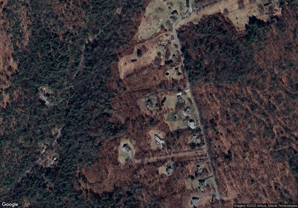
Map
Nearby Homes
- 292 Gold St
- Lots A-C Federal St
- LOT 3 Harkness Rd
- 0 Federal St
- 130 Linden Ridge Rd
- 23 Alyssum Dr
- 36 Trillium Way
- 494 Station Rd
- 100 Larkspur Dr
- 20 Station Rd
- 148 Aubinwood Rd
- 27 Summerfield Rd
- 9 Harkness Rd
- 0 Heatherstone Rd
- 0 Amherst Rd
- 60 Bay Rd
- Lot 8 Old Pelham Rd
- 51 Sheffield Dr
- 0 Spring Hill Rd
- 1731 S East St
Your Personal Tour Guide
Ask me questions while you tour the home.