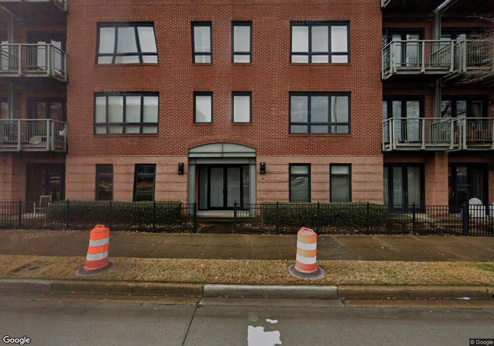
433 Saint Pauls Blvd Unit 1A Norfolk, VA 23510
Downtown Norfolk NeighborhoodEstimated Value: $177,000 - $212,000
1
Bed
1
Bath
800
Sq Ft
$248/Sq Ft
Est. Value
About This Home
This home is located at 433 Saint Pauls Blvd Unit 1A, Norfolk, VA 23510 and is currently estimated at $198,338, approximately $247 per square foot. 433 Saint Pauls Blvd Unit 1A is a home located in Norfolk City with nearby schools including P.B. Young Sr. Elementary School, Tidewater Park Elementary School, and Blair Middle School.
Ownership History
Date
Name
Owned For
Owner Type
Purchase Details
Closed on
Apr 17, 2023
Sold by
Green Douglas P
Bought by
Rolda Rod
Current Estimated Value
Home Financials for this Owner
Home Financials are based on the most recent Mortgage that was taken out on this home.
Original Mortgage
$171,000
Outstanding Balance
$166,359
Interest Rate
6.73%
Mortgage Type
New Conventional
Estimated Equity
$31,979
Purchase Details
Closed on
Apr 7, 2006
Sold by
The St Paul S Place Co
Bought by
Green Douglas P
Home Financials for this Owner
Home Financials are based on the most recent Mortgage that was taken out on this home.
Original Mortgage
$179,550
Interest Rate
6.28%
Mortgage Type
Credit Line Revolving
Create a Home Valuation Report for This Property
The Home Valuation Report is an in-depth analysis detailing your home's value as well as a comparison with similar homes in the area
Home Values in the Area
Average Home Value in this Area
Purchase History
| Date | Buyer | Sale Price | Title Company |
|---|---|---|---|
| Rolda Rod | $180,000 | Freedom Title & Escrow | |
| Green Douglas P | $199,500 | -- |
Source: Public Records
Mortgage History
| Date | Status | Borrower | Loan Amount |
|---|---|---|---|
| Open | Rolda Rod | $171,000 | |
| Previous Owner | Green Douglas P | $179,550 |
Source: Public Records
Tax History Compared to Growth
Tax History
| Year | Tax Paid | Tax Assessment Tax Assessment Total Assessment is a certain percentage of the fair market value that is determined by local assessors to be the total taxable value of land and additions on the property. | Land | Improvement |
|---|---|---|---|---|
| 2025 | $2,489 | $176,500 | $38,800 | $137,700 |
| 2024 | $2,345 | $168,700 | $38,800 | $129,900 |
| 2023 | $2,224 | $157,700 | $33,600 | $124,100 |
| 2022 | $2,083 | $147,700 | $30,600 | $117,100 |
| 2021 | $1,909 | $135,400 | $30,600 | $104,800 |
| 2020 | $1,909 | $135,400 | $30,600 | $104,800 |
| 2019 | $1,829 | $129,700 | $30,600 | $99,100 |
| 2018 | $1,699 | $120,500 | $30,600 | $89,900 |
| 2017 | $1,579 | $120,500 | $36,900 | $83,600 |
| 2016 | $1,579 | $141,900 | $36,900 | $105,000 |
| 2015 | $1,859 | $141,900 | $36,900 | $105,000 |
| 2014 | $1,859 | $141,900 | $36,900 | $105,000 |
Source: Public Records
Map
Nearby Homes
- 433 Saint Pauls Blvd Unit 2D
- 525 E Freemason St Unit 1A
- 435 E Freemason St Unit 3A
- 415 St Pauls Blvd Unit 105
- 415 Saint Pauls Blvd Unit 509
- 415 Saint Pauls Blvd Unit 309
- 415 Saint Pauls Blvd Unit 202
- 415 Saint Pauls Blvd Unit 109
- 415 Saint Pauls Blvd Unit 709
- 435 Monticello Ave Unit 400B
- 435 Monticello Ave Unit 200D
- 435 Monticello Ave Unit 200C
- 435 Monticello Ave Unit 300C
- 426 Granby St Unit 3C
- 500 Granby St Unit 4D
- 439 Granby St
- 388 Boush St Unit 108
- 388 Boush St Unit 122
- 388 Boush St Unit 302
- 388 Boush St Unit 411
- 433 St Paul's Blvd Unit 3E
- 433 Saint Pauls Blvd Unit 4A
- 433 Saint Pauls Blvd Unit 4E
- 433 Saint Pauls Blvd Unit 1B
- 433 Saint Pauls Blvd Unit 4D
- 433 Saint Pauls Blvd Unit 4B
- 433 Saint Pauls Blvd Unit 3E
- 433 Saint Pauls Blvd Unit 3D
- 433 Saint Pauls Blvd Unit 3B
- 433 Saint Pauls Blvd Unit 3A
- 433 Saint Pauls Blvd Unit 2E
- 433 Saint Pauls Blvd Unit 2B
- 433 Saint Pauls Blvd Unit 2A
- 433 Saint Pauls Blvd Unit 1E
- 433 Saint Pauls Blvd Unit 1D
- 433 Saint Pauls Blvd
- 433 Saint Pauls Blvd Unit 1a Blvd Unit 1A
- 433-2D St Pauls Blvd ^^
- 423 Saint Pauls Blvd
- 423 St Pauls Blvd Unit 2E