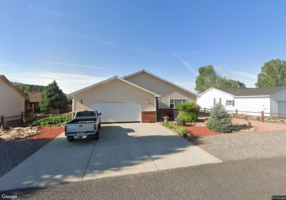
433 SE Birdie Cir Cedaredge, CO 81413
Estimated Value: $437,466 - $475,000
3
Beds
2
Baths
1,961
Sq Ft
$230/Sq Ft
Est. Value
About This Home
This home is located at 433 SE Birdie Cir, Cedaredge, CO 81413 and is currently estimated at $451,867, approximately $230 per square foot. 433 SE Birdie Cir is a home located in Delta County with nearby schools including Cedaredge Elementary School, Cedaredge Middle School, and Cedaredge High School.
Ownership History
Date
Name
Owned For
Owner Type
Purchase Details
Closed on
Sep 30, 2008
Sold by
Cooper Mary Lee and Cooper Richard R
Bought by
Rathburn Martin Jay and Rathburn Mary Ann
Current Estimated Value
Home Financials for this Owner
Home Financials are based on the most recent Mortgage that was taken out on this home.
Original Mortgage
$157,000
Outstanding Balance
$104,000
Interest Rate
6.52%
Mortgage Type
New Conventional
Estimated Equity
$347,867
Purchase Details
Closed on
Dec 6, 1999
Sold by
Raome and Davis
Bought by
Cooper
Purchase Details
Closed on
Dec 12, 1995
Sold by
Town Of Cedaredge
Bought by
Raine
Create a Home Valuation Report for This Property
The Home Valuation Report is an in-depth analysis detailing your home's value as well as a comparison with similar homes in the area
Purchase History
| Date | Buyer | Sale Price | Title Company |
|---|---|---|---|
| Rathburn Martin Jay | $180,000 | None Available | |
| Cooper | $150,000 | -- | |
| Raine | $19,500 | -- |
Source: Public Records
Mortgage History
| Date | Status | Borrower | Loan Amount |
|---|---|---|---|
| Open | Rathburn Martin Jay | $157,000 |
Source: Public Records
Tax History
| Year | Tax Paid | Tax Assessment Tax Assessment Total Assessment is a certain percentage of the fair market value that is determined by local assessors to be the total taxable value of land and additions on the property. | Land | Improvement |
|---|---|---|---|---|
| 2024 | $933 | $20,388 | $2,837 | $17,551 |
| 2023 | $933 | $20,388 | $2,837 | $17,551 |
| 2022 | $1,349 | $20,146 | $1,940 | $18,206 |
| 2021 | $1,344 | $20,725 | $1,995 | $18,730 |
| 2020 | $1,126 | $16,851 | $1,716 | $15,135 |
| 2019 | $1,125 | $16,851 | $1,716 | $15,135 |
| 2018 | $955 | $13,643 | $1,178 | $12,465 |
| 2017 | $955 | $13,643 | $1,178 | $12,465 |
| 2016 | $1,011 | $15,690 | $1,592 | $14,098 |
| 2014 | -- | $17,125 | $3,024 | $14,101 |
Source: Public Records
Map
Nearby Homes
- 478 SE Birdie Cir
- 1015 SE Deer Creek Dr
- 498 SE Birdie Cir
- 950 SE Fairway Dr
- 1180 SE Deer Creek Dr
- 325 SE Cobblestone Ct
- 870 SE Pinyon St
- Lot 4, TBD SE Stonebridge Dr
- Lot 1, TBD SE Stonebridge Dr
- Lot 3, TBD SE Stonebridge Dr
- Lot 2, TBD SE Stonebridge Dr
- 1270 SE Deer Creek Dr
- 855 SE Pine St
- 320 SE Flagstone Ct
- 805 SE Pinyon St
- 325 SE Limestone Ct
- 825 SE Pine St
- 720 SE Stonebridge Dr
- 805 SE Pine St
- 305 SE Limestone Ct
- 0 SE Birdie Cir
- 427 SE Birdie Cir
- 439 SE Birdie Cir
- 421 SE Birdie Cir
- 428 SE Birdie Cir
- 484 SE Birdie Cir
- 422 SE Birdie Cir
- 472 SE Birdie Cir
- 445 SE Birdie Cir
- 434 SE Birdie Cir
- 416 SE Birdie Cir
- 490 SE Birdie Cir
- 475 SE Birdie Cir
- 410 SE Birdie Cir
- 466 SE Birdie Cir
- 415 SE Birdie Cir
- 469 SE Birdie Cir
- 440 SE Birdie Cir
- 496 SE Birdie Cir
- 481 SE Birdie Cir
Your Personal Tour Guide
Ask me questions while you tour the home.