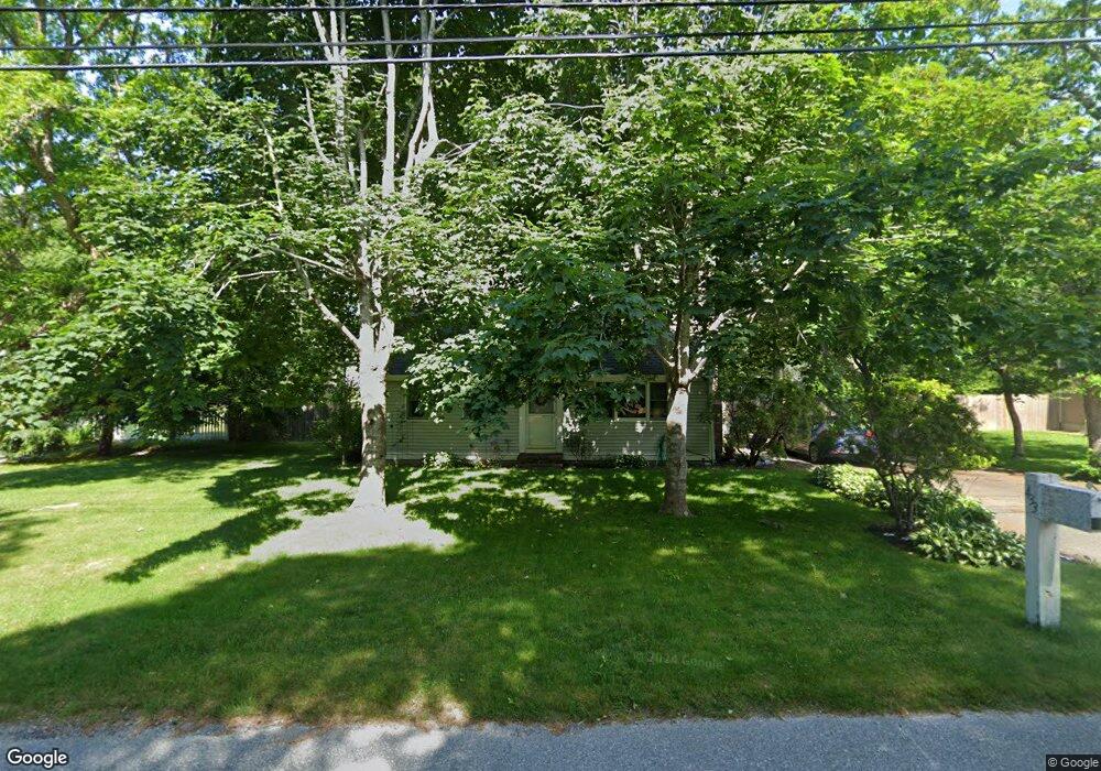
433 Skunknet Rd Centerville, MA 02632
Centerville NeighborhoodEstimated Value: $591,098 - $669,000
3
Beds
2
Baths
1,346
Sq Ft
$458/Sq Ft
Est. Value
About This Home
This home is located at 433 Skunknet Rd, Centerville, MA 02632 and is currently estimated at $616,775, approximately $458 per square foot. 433 Skunknet Rd is a home located in Barnstable County with nearby schools including West Villages Elementary School, Barnstable United Elementary School, and Barnstable Intermediate School.
Ownership History
Date
Name
Owned For
Owner Type
Purchase Details
Closed on
Sep 15, 1992
Sold by
Heritage Bk Svgs
Bought by
Kalweit G Scott
Current Estimated Value
Purchase Details
Closed on
Aug 5, 1992
Sold by
Dec Rt
Bought by
Heritage Bk For Svgs
Create a Home Valuation Report for This Property
The Home Valuation Report is an in-depth analysis detailing your home's value as well as a comparison with similar homes in the area
Home Values in the Area
Average Home Value in this Area
Purchase History
| Date | Buyer | Sale Price | Title Company |
|---|---|---|---|
| Kalweit G Scott | $80,000 | -- | |
| Heritage Bk For Svgs | $44,000 | -- |
Source: Public Records
Mortgage History
| Date | Status | Borrower | Loan Amount |
|---|---|---|---|
| Open | Heritage Bk For Svgs | $170,000 | |
| Closed | Heritage Bk For Svgs | $30,000 |
Source: Public Records
Tax History
| Year | Tax Paid | Tax Assessment Tax Assessment Total Assessment is a certain percentage of the fair market value that is determined by local assessors to be the total taxable value of land and additions on the property. | Land | Improvement |
|---|---|---|---|---|
| 2025 | $3,946 | $487,800 | $152,200 | $335,600 |
| 2024 | $3,664 | $469,200 | $152,200 | $317,000 |
| 2023 | $3,492 | $418,700 | $138,400 | $280,300 |
| 2022 | $3,244 | $336,500 | $102,500 | $234,000 |
| 2021 | $3,182 | $303,300 | $102,500 | $200,800 |
| 2020 | $3,279 | $299,200 | $102,500 | $196,700 |
| 2019 | $3,118 | $276,400 | $102,500 | $173,900 |
| 2018 | $2,901 | $258,600 | $107,900 | $150,700 |
| 2017 | $2,706 | $251,500 | $107,900 | $143,600 |
| 2016 | $2,750 | $252,300 | $108,700 | $143,600 |
| 2015 | $2,654 | $244,600 | $105,400 | $139,200 |
Source: Public Records
Map
Nearby Homes
- 51 Larch Ln
- 315 Prince Hinckley Rd
- 296 Buckskin Path
- 200 Lumbert Mill Rd
- 53 Meadow Farm Rd
- 52 Meadow Farm Rd
- 900 Old Stage Rd
- 82 Yacht Club Rd
- 103 Pine Tree Dr
- 7 Ebenezer
- 87 Foxglove Rd
- 19 Marrick Ct
- 1028 Old Falmouth Rd
- 66 Tern Ln
- 62 Three Ponds Dr
- 40 Sachem Dr
- 324 Patriot Way
- 156 S Main St
- 351 Swift Ave
- 83 Lake Dr
- 443 Skunknet Rd
- 423 Skunknet Rd
- 182 Zeno Crocker Rd
- 192 Zeno Crocker Rd
- 172 Zeno Crocker Rd
- 424 Skunknet Rd
- 436 Skunknet Rd
- 413 Skunknet Rd
- 254 Ames Way
- 264 Ames Way
- 53 Chappaquiddick Rd
- 543 Prince Hinckley Rd
- 274 Ames Way
- 434 Skunknet Rd
- 220 Ames Way
- 432 Skunknet Rd
- 43 Chappaquiddick Rd
- 183 Zeno Crocker Rd
- 193 Zeno Crocker Rd
- 173 Zeno Crocker Rd
Your Personal Tour Guide
Ask me questions while you tour the home.