433 Spruce Cir Unit H Mineral Bluff, GA 30559
Estimated Value: $712,000 - $872,579
3
Beds
3
Baths
2,920
Sq Ft
$258/Sq Ft
Est. Value
About This Home
This home is located at 433 Spruce Cir Unit H, Mineral Bluff, GA 30559 and is currently estimated at $754,645, approximately $258 per square foot. 433 Spruce Cir Unit H is a home located in Fannin County with nearby schools including Fannin County High School.
Ownership History
Date
Name
Owned For
Owner Type
Purchase Details
Closed on
Nov 21, 2012
Sold by
Allgood Robert J
Bought by
Hinds Russell A and Hinds Elizabeth A
Current Estimated Value
Purchase Details
Closed on
Jan 15, 2010
Sold by
The Bank Of New York Mellon
Bought by
Allgood Robert J and Allgood Jenny Lee
Home Financials for this Owner
Home Financials are based on the most recent Mortgage that was taken out on this home.
Original Mortgage
$192,000
Interest Rate
4.94%
Mortgage Type
New Conventional
Purchase Details
Closed on
Sep 1, 2009
Sold by
Tate Jeffrey
Bought by
Bank Of New York Mellon
Purchase Details
Closed on
Aug 9, 2004
Sold by
Jada Llc
Bought by
Tate Jeffrey
Create a Home Valuation Report for This Property
The Home Valuation Report is an in-depth analysis detailing your home's value as well as a comparison with similar homes in the area
Home Values in the Area
Average Home Value in this Area
Purchase History
| Date | Buyer | Sale Price | Title Company |
|---|---|---|---|
| Hinds Russell A | $289,300 | -- | |
| Allgood Robert J | $240,000 | -- | |
| Bank Of New York Mellon | -- | -- | |
| The Bank Of New York Mellon | $182,750 | -- | |
| Tate Jeffrey | $257,800 | -- |
Source: Public Records
Mortgage History
| Date | Status | Borrower | Loan Amount |
|---|---|---|---|
| Previous Owner | Allgood Robert J | $192,000 |
Source: Public Records
Tax History Compared to Growth
Tax History
| Year | Tax Paid | Tax Assessment Tax Assessment Total Assessment is a certain percentage of the fair market value that is determined by local assessors to be the total taxable value of land and additions on the property. | Land | Improvement |
|---|---|---|---|---|
| 2024 | $2,551 | $278,365 | $7,371 | $270,994 |
| 2023 | $2,277 | $223,278 | $7,371 | $215,907 |
| 2022 | $2,304 | $226,048 | $7,371 | $218,677 |
| 2021 | $1,570 | $111,943 | $7,371 | $104,572 |
| 2020 | $1,596 | $111,943 | $7,371 | $104,572 |
| 2019 | $1,458 | $100,363 | $7,371 | $92,992 |
| 2018 | $1,546 | $100,363 | $7,371 | $92,992 |
| 2017 | $1,794 | $101,397 | $7,371 | $94,026 |
| 2016 | $1,553 | $91,467 | $7,371 | $84,096 |
| 2015 | $1,640 | $92,401 | $7,371 | $85,030 |
| 2014 | $1,869 | $107,356 | $7,371 | $99,986 |
| 2013 | -- | $89,182 | $7,370 | $81,812 |
Source: Public Records
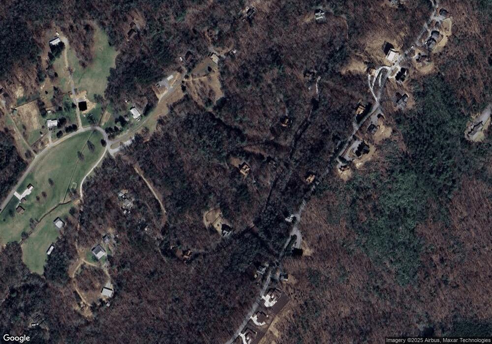
Map
Nearby Homes
- 433 Spruce Cir
- 437 Spruce Cir
- 437 Spruce Cir Unit G
- 313 Spruce Cir
- 588 Tower Rd
- 530 Tower Rd Unit 3
- 530 Tower Rd
- 506 Tower Rd
- 506 Tower Rd Unit 3
- 100 Wintermute Dr
- 60 Jackies Bluff Rd
- LOT 41 Ridgeline Ln
- 789 Old Pond Mill Rd
- NA Piney Rd
- 2400 Hardscrabble Rd
- 705 Hickory Dr
- Lot 12A Oak Loop
- 421 Salem Valley Rd
- 1.34 AC Laurel Springs Rd
- 2461 Salem Rd
- 433 Spruce Cir
- 671 Tower Rd
- 325 Spruce Cir
- 693 Tower Rd
- 462 Tower Rd
- 737 Tower Rd
- 0 McCullough Switch Unit 139520
- 0 Newberry Dr Unit 8824485
- 559 Tower Rd
- 656 Tower Rd
- LOT 4 Tower Rd
- 2.38 Tower Rd
- LOT 8 Tower Rd
- E Tower Rd
- 4 Tower Rd
- Lot 3 Spruce Cir
- 617 Spruce Cir
- 931 Spruce Cir
- 0 Spruce Cir Unit 7478262
- 0 Spruce Cir Unit 8128591