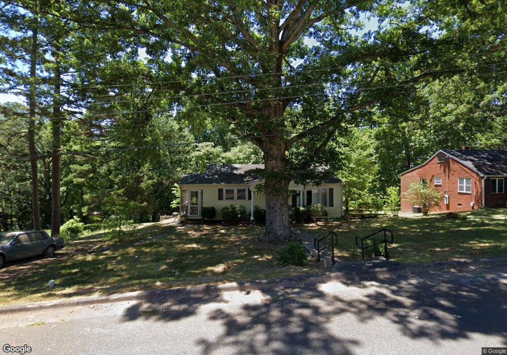
433 Summit Ave Asheboro, NC 27203
Estimated Value: $124,000 - $157,662
3
Beds
1
Bath
1,024
Sq Ft
$141/Sq Ft
Est. Value
About This Home
This home is located at 433 Summit Ave, Asheboro, NC 27203 and is currently estimated at $144,416, approximately $141 per square foot. 433 Summit Ave is a home located in Randolph County with nearby schools including Charles W. McCrary Elementary School, North Asheboro Middle School, and Asheboro High School.
Ownership History
Date
Name
Owned For
Owner Type
Purchase Details
Closed on
Jul 13, 2015
Sold by
Marlette Barbara J and Marlette David L
Bought by
Davidson Thomas D and Davidson Annessa S
Current Estimated Value
Home Financials for this Owner
Home Financials are based on the most recent Mortgage that was taken out on this home.
Original Mortgage
$34,400
Outstanding Balance
$13,148
Interest Rate
3.93%
Mortgage Type
New Conventional
Estimated Equity
$131,268
Create a Home Valuation Report for This Property
The Home Valuation Report is an in-depth analysis detailing your home's value as well as a comparison with similar homes in the area
Home Values in the Area
Average Home Value in this Area
Purchase History
| Date | Buyer | Sale Price | Title Company |
|---|---|---|---|
| Davidson Thomas D | $43,000 | None Available |
Source: Public Records
Mortgage History
| Date | Status | Borrower | Loan Amount |
|---|---|---|---|
| Open | Davidson Thomas D | $34,400 |
Source: Public Records
Tax History Compared to Growth
Tax History
| Year | Tax Paid | Tax Assessment Tax Assessment Total Assessment is a certain percentage of the fair market value that is determined by local assessors to be the total taxable value of land and additions on the property. | Land | Improvement |
|---|---|---|---|---|
| 2025 | $1,351 | $101,950 | $25,800 | $76,150 |
| 2024 | $1,351 | $101,950 | $25,800 | $76,150 |
| 2023 | $1,351 | $101,950 | $25,800 | $76,150 |
| 2022 | $1,003 | $69,590 | $17,350 | $52,240 |
| 2021 | $1,003 | $69,590 | $17,350 | $52,240 |
| 2020 | $1,003 | $69,590 | $17,350 | $52,240 |
| 2019 | $1,003 | $69,590 | $17,350 | $52,240 |
| 2018 | $996 | $67,900 | $24,340 | $43,560 |
| 2016 | $996 | $67,900 | $24,340 | $43,560 |
| 2015 | $998 | $67,900 | $24,340 | $43,560 |
| 2014 | -- | $67,900 | $24,340 | $43,560 |
Source: Public Records
Map
Nearby Homes
- 516 and 518 Peachtree St
- 435 Peachtree St
- TBD Oakland Ave
- 330 W Presnell St Unit 37
- 330 13 W Presnell St
- 923 Arnold St
- 255 Liberty St
- 0 Amity Rd
- 0000 Little Gate Dr
- 612 Sunset Ave Unit 6
- 246 Hampton Rd Unit 8A
- 830 Sunset Ave
- 711 Sunset Ave Unit E
- 1407 Oakland Ave
- 914 Tamworth Rd
- 135 Dixon St
- 1110 Park Dr
- 0 Highwood Dr
- 627 Oakmont Dr
- 866 Mountain Rd
- 437 Summit Ave
- 421 Summit Ave
- 432 Summit Ave
- 415 Summit Ave
- 513 Mount Cross St
- 418 Summit Ave
- 512 Mount Cross St
- 504 Peachtree St
- 511 Mount Cross St
- 412 Summit Ave
- 506 Mount Cross St
- 424 Peachtree St
- 434 Peachtree St
- 428 Peachtree St
- 500 Peachtree St
- 500 Peachtree St Unit A & B
- 436 Peachtree St
- 606 City View St
- 449 Mount Cross St
- 510 City View St