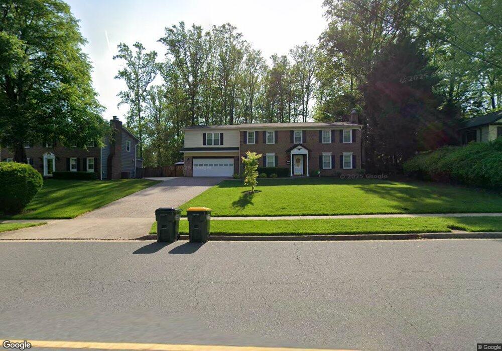
4330 Duncan Dr Annandale, VA 22003
Estimated Value: $1,105,000 - $1,229,921
5
Beds
4
Baths
4,300
Sq Ft
$271/Sq Ft
Est. Value
About This Home
This home is located at 4330 Duncan Dr, Annandale, VA 22003 and is currently estimated at $1,165,730, approximately $271 per square foot. 4330 Duncan Dr is a home located in Fairfax County with nearby schools including Wakefield Forest Elementary School, Frost Middle School, and W. T. Woodson High School.
Ownership History
Date
Name
Owned For
Owner Type
Purchase Details
Closed on
Feb 24, 2012
Sold by
Sentell John W
Bought by
Caraang Michael M
Current Estimated Value
Home Financials for this Owner
Home Financials are based on the most recent Mortgage that was taken out on this home.
Original Mortgage
$672,958
Outstanding Balance
$461,045
Interest Rate
3.89%
Mortgage Type
VA
Estimated Equity
$704,685
Create a Home Valuation Report for This Property
The Home Valuation Report is an in-depth analysis detailing your home's value as well as a comparison with similar homes in the area
Home Values in the Area
Average Home Value in this Area
Purchase History
| Date | Buyer | Sale Price | Title Company |
|---|---|---|---|
| Caraang Michael M | $738,500 | -- |
Source: Public Records
Mortgage History
| Date | Status | Borrower | Loan Amount |
|---|---|---|---|
| Open | Caraang Michael M | $672,958 |
Source: Public Records
Tax History Compared to Growth
Tax History
| Year | Tax Paid | Tax Assessment Tax Assessment Total Assessment is a certain percentage of the fair market value that is determined by local assessors to be the total taxable value of land and additions on the property. | Land | Improvement |
|---|---|---|---|---|
| 2025 | $12,450 | $1,069,830 | $315,000 | $754,830 |
| 2024 | $12,450 | $1,074,660 | $290,000 | $784,660 |
| 2023 | $11,819 | $1,047,360 | $290,000 | $757,360 |
| 2022 | $10,995 | $961,480 | $265,000 | $696,480 |
| 2021 | $10,491 | $893,950 | $245,000 | $648,950 |
| 2020 | $9,833 | $830,880 | $230,000 | $600,880 |
| 2019 | $9,656 | $815,880 | $215,000 | $600,880 |
| 2018 | $9,054 | $787,270 | $215,000 | $572,270 |
| 2017 | $8,824 | $760,020 | $215,000 | $545,020 |
| 2016 | $8,805 | $760,020 | $215,000 | $545,020 |
| 2015 | $8,482 | $760,020 | $215,000 | $545,020 |
| 2014 | $8,115 | $728,740 | $205,000 | $523,740 |
Source: Public Records
Map
Nearby Homes
- 4307 Planters Ct
- 4217 N Valiant Ct
- 4104 Woodlark Dr
- 8312 Upper Spring Ln
- 8310 Upper Spring Ln
- 8317 Little River Turnpike
- 8454 Toll House Rd
- 4408 Island Place Unit 202
- 7905 Dassett Ct Unit 304
- 7900 Inverton Rd Unit 3
- 4367 Americana Dr Unit 104
- 4317 Americana Dr Unit 203
- 4333 Americana Dr Unit 203
- 8502 Woodbine Ln
- 8510 Ordinary Way
- 7711 Lafayette Forest Dr Unit 22
- 7753 Patriot Dr Unit 57
- 0 Annandale Unit VAFX2223824
- 7930 Peyton Forest Trail
- 4004 Estabrook Dr
- 4332 Duncan Dr
- 4326 Duncan Dr
- 4309 Planters Ct
- 4334 Duncan Dr
- 4311 Planters Ct
- 4322 Duncan Dr
- 4313 Planters Ct
- 4329 Duncan Dr
- 4333 Duncan Dr
- 4318 Duncan Dr
- 4305 Planters Ct
- 4325 Duncan Dr
- 4335 Duncan Dr
- 4315 Planters Ct
- 4310 Planters Ct
- 4321 Duncan Dr
- 4308 Planters Ct
- 4303 Planters Ct
- 4314 Duncan Dr
- 8231 The Midway