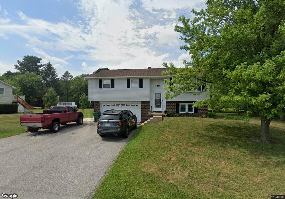
4331 List Rd Red Lion, PA 17356
Estimated Value: $286,573 - $339,000
3
Beds
2
Baths
1,584
Sq Ft
$196/Sq Ft
Est. Value
About This Home
This home is located at 4331 List Rd, Red Lion, PA 17356 and is currently estimated at $310,643, approximately $196 per square foot. 4331 List Rd is a home located in York County with nearby schools including North Hopewell-Winterstown Elementary School, Red Lion Area Junior High School, and Red Lion Area Senior High School.
Ownership History
Date
Name
Owned For
Owner Type
Purchase Details
Closed on
Nov 22, 2019
Sold by
Besecker Carolyn V and Yohn Carolyn V
Bought by
Day Daniel R and Day Christie Lea
Current Estimated Value
Home Financials for this Owner
Home Financials are based on the most recent Mortgage that was taken out on this home.
Original Mortgage
$135,920
Outstanding Balance
$91,320
Interest Rate
3.5%
Mortgage Type
New Conventional
Estimated Equity
$219,323
Purchase Details
Closed on
Feb 26, 2009
Sold by
Besecker George R and Besecker Carolyn V
Bought by
Besecker George R and Besecker Carolyn V
Purchase Details
Closed on
Sep 7, 1973
Bought by
Besecker George R
Create a Home Valuation Report for This Property
The Home Valuation Report is an in-depth analysis detailing your home's value as well as a comparison with similar homes in the area
Home Values in the Area
Average Home Value in this Area
Purchase History
| Date | Buyer | Sale Price | Title Company |
|---|---|---|---|
| Day Daniel R | $169,900 | White Rose Setmnt Svcs Inc | |
| Besecker George R | -- | None Available | |
| Besecker George R | -- | -- |
Source: Public Records
Mortgage History
| Date | Status | Borrower | Loan Amount |
|---|---|---|---|
| Open | Day Daniel R | $135,920 |
Source: Public Records
Tax History Compared to Growth
Tax History
| Year | Tax Paid | Tax Assessment Tax Assessment Total Assessment is a certain percentage of the fair market value that is determined by local assessors to be the total taxable value of land and additions on the property. | Land | Improvement |
|---|---|---|---|---|
| 2025 | $4,187 | $132,900 | $42,230 | $90,670 |
| 2024 | $4,057 | $132,900 | $42,230 | $90,670 |
| 2023 | $4,057 | $132,900 | $42,230 | $90,670 |
| 2022 | $4,057 | $132,900 | $42,230 | $90,670 |
| 2021 | $3,924 | $132,900 | $42,230 | $90,670 |
| 2020 | $3,924 | $132,900 | $42,230 | $90,670 |
| 2019 | $3,911 | $132,900 | $42,230 | $90,670 |
| 2018 | $3,911 | $132,900 | $42,230 | $90,670 |
| 2017 | $3,911 | $132,900 | $42,230 | $90,670 |
| 2016 | $0 | $132,900 | $42,230 | $90,670 |
| 2015 | -- | $132,900 | $42,230 | $90,670 |
| 2014 | -- | $132,900 | $42,230 | $90,670 |
Source: Public Records
Map
Nearby Homes
- 0 Oak Ridge Ave
- 786 Arbor Dr
- 290 Neff Rd
- 0 Swamp Hollow Ln
- 705 Summit Dr
- 209 Forest Hills Rd
- 11983 Tree Ln
- 250 Country Ridge Dr
- 260 Country Ridge Dr
- 175 Country Ridge Dr
- 126 Country Ridge Dr
- 8219 Lehman Rd
- 630 Woodland Ave
- 12706 High Point Rd
- 28 Pleasant Ave
- 620 Boundary Ave
- 117 S Park St
- 116 S Franklin St
- 1680 Wood Crest Ln
- 503 W Broadway