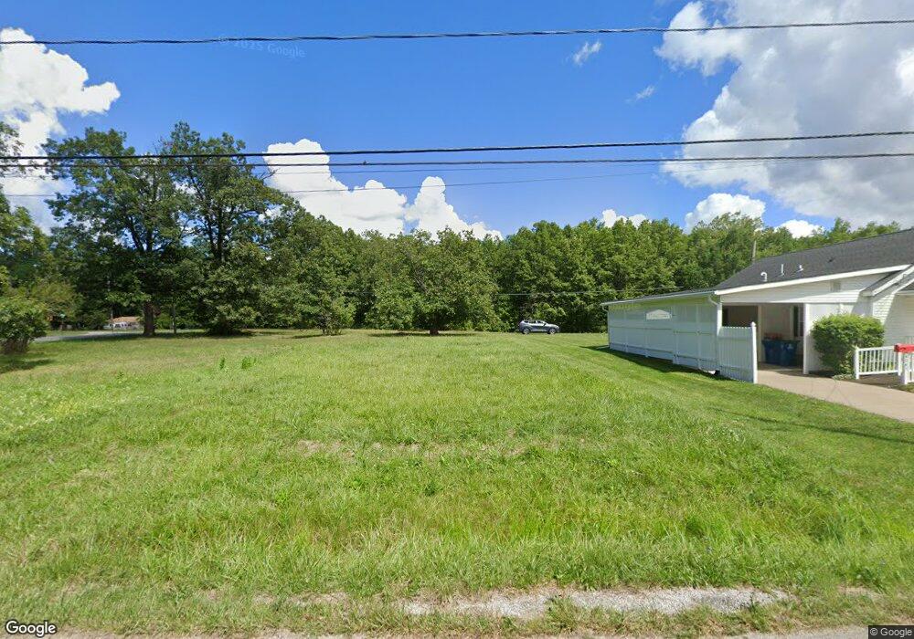
4332 Laurel Rd Lorain, OH 44055
Estimated Value: $24,868 - $170,000
1
Bed
1
Bath
1,020
Sq Ft
$88/Sq Ft
Est. Value
About This Home
This home is located at 4332 Laurel Rd, Lorain, OH 44055 and is currently estimated at $89,467, approximately $87 per square foot. 4332 Laurel Rd is a home located in Lorain County with nearby schools including Vincent Elementary School, Durling Middle School, and Clearview High School.
Ownership History
Date
Name
Owned For
Owner Type
Purchase Details
Closed on
Mar 11, 2024
Sold by
Lorain Cnty Land Reutilization
Bought by
Patton Dahsane
Current Estimated Value
Purchase Details
Closed on
Sep 30, 2016
Sold by
Jb Patriot Properties Vi Llc
Bought by
Lorain County Land Reutilization Corp
Purchase Details
Closed on
Aug 19, 2013
Sold by
Caudell Mary Jane
Bought by
Jb Patriot Properties Vi Llc
Purchase Details
Closed on
Mar 12, 2002
Sold by
Caudill James S
Bought by
Caudill Mary Jane
Purchase Details
Closed on
Mar 25, 1997
Sold by
Ruby Maynard
Bought by
James S Caudill
Purchase Details
Closed on
Jul 16, 1996
Sold by
Charlie Lowe
Bought by
Ruby Maynard
Create a Home Valuation Report for This Property
The Home Valuation Report is an in-depth analysis detailing your home's value as well as a comparison with similar homes in the area
Home Values in the Area
Average Home Value in this Area
Purchase History
| Date | Buyer | Sale Price | Title Company |
|---|---|---|---|
| Patton Dahsane | -- | None Listed On Document | |
| Lorain County Land Reutilization Corp | -- | -- | |
| Jb Patriot Properties Vi Llc | $2,500 | None Available | |
| Caudill Mary Jane | -- | -- | |
| James S Caudill | $10,000 | -- | |
| Ruby Maynard | $9,000 | -- |
Source: Public Records
Tax History Compared to Growth
Tax History
| Year | Tax Paid | Tax Assessment Tax Assessment Total Assessment is a certain percentage of the fair market value that is determined by local assessors to be the total taxable value of land and additions on the property. | Land | Improvement |
|---|---|---|---|---|
| 2024 | -- | $3,402 | $3,402 | -- |
| 2023 | $0 | $0 | $0 | $0 |
| 2022 | $0 | $2,233 | $2,233 | $0 |
| 2021 | $0 | $2,230 | $2,230 | $0 |
| 2020 | $0 | $1,890 | $1,890 | $0 |
| 2019 | $280 | $1,890 | $1,890 | $0 |
| 2018 | $0 | $1,890 | $1,890 | $0 |
| 2017 | $280 | $4,550 | $780 | $3,770 |
| 2016 | $279 | $4,550 | $780 | $3,770 |
| 2015 | $272 | $4,550 | $780 | $3,770 |
| 2014 | $273 | $4,440 | $760 | $3,680 |
| 2013 | $250 | $4,440 | $760 | $3,680 |
Source: Public Records
Map
Nearby Homes
- 4095 Laurel Rd
- 3985 Dale Ave
- 1693 Elfleda St
- 1928 E 41st St
- 41174 Wilbur Ave
- 3785 Lorain Ave
- 42190 Helen St
- 4137 Dunton Rd
- 1951 E 39th St
- 1771 E 37th St
- 41638 Elmwood St
- 1837 E 36th St
- V/L Oneil Blvd
- 1810 E 34th St
- V/L Grove Ave
- 1682 E 33rd St
- VL Ridgewood St
- 1924 E 33rd St
- V/L Rear Land Unit 1
- V/L Rear Land Unit 2