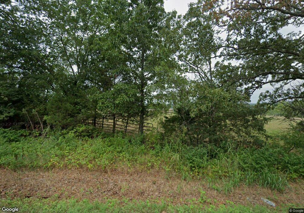
4332 S State Highway 125 Protem, MO 65733
Estimated Value: $653,872 - $693,000
--
Bed
--
Bath
--
Sq Ft
74
Acres
About This Home
This home is located at 4332 S State Highway 125, Protem, MO 65733 and is currently estimated at $673,436. 4332 S State Highway 125 is a home located in Taney County with nearby schools including Mark Twain Elementary School.
Ownership History
Date
Name
Owned For
Owner Type
Purchase Details
Closed on
Jun 11, 2024
Sold by
Smith Melanie Blanche and Smith Tanner Allen
Bought by
Smith Melanie B and Smith Tanner Allen
Current Estimated Value
Purchase Details
Closed on
Nov 21, 2023
Sold by
Bray Chrystal L
Bought by
Smith Lonnie Dave and Smith Melanie Blanche
Home Financials for this Owner
Home Financials are based on the most recent Mortgage that was taken out on this home.
Original Mortgage
$520,000
Interest Rate
7.63%
Mortgage Type
New Conventional
Create a Home Valuation Report for This Property
The Home Valuation Report is an in-depth analysis detailing your home's value as well as a comparison with similar homes in the area
Home Values in the Area
Average Home Value in this Area
Purchase History
| Date | Buyer | Sale Price | Title Company |
|---|---|---|---|
| Smith Melanie B | -- | None Listed On Document | |
| Smith Lonnie Dave | -- | None Listed On Document | |
| Smith Lonnie Dave | -- | None Listed On Document | |
| Smith Lonnie Dave | -- | None Listed On Document |
Source: Public Records
Mortgage History
| Date | Status | Borrower | Loan Amount |
|---|---|---|---|
| Previous Owner | Smith Lonnie Dave | $520,000 |
Source: Public Records
Tax History Compared to Growth
Tax History
| Year | Tax Paid | Tax Assessment Tax Assessment Total Assessment is a certain percentage of the fair market value that is determined by local assessors to be the total taxable value of land and additions on the property. | Land | Improvement |
|---|---|---|---|---|
| 2025 | $115 | $2,320 | -- | -- |
| 2024 | $115 | $2,570 | -- | -- |
| 2023 | $115 | $3,110 | $0 | $0 |
| 2022 | $134 | $3,110 | $0 | $0 |
| 2021 | $133 | $3,110 | $0 | $0 |
| 2019 | $186 | $4,060 | $0 | $0 |
| 2018 | $190 | $4,150 | $0 | $0 |
| 2017 | $189 | $4,150 | $0 | $0 |
| 2016 | $183 | $3,920 | $0 | $0 |
| 2015 | $183 | $3,920 | $0 | $0 |
| 2014 | $180 | $5,090 | $0 | $0 |
Source: Public Records
Map
Nearby Homes
- 1511 State Highway U
- 125 Blessing Way
- 261 Lazy Acres Rd Unit Sisters Lane
- 356-00006-000 Eagle Ridge Rd
- 125 Way
- 7804 S State Highway 125
- 330-00004-000 Lazy Acres Rd
- 518 Nave Ferry Rd
- 000 Airline Dr Unit Lot 42
- 000 Airline Dr Unit Lot 46
- 000 Shore Cove Unit Lot 6
- 156-00039-000 Airline Dr
- 000 Clarkson Rd
- 156-00025-000 Blue Lake Dr
- 000 Blue Lake Dr Unit Lot 26
- 000 Blue Lake Dr Unit Lot 25
- 156-00026-000 Blue Lake Dr
- 000 Shoal Creek Dr Unit Lot 1
- 356-00001-000 Shoal Creek Rd
- 356-00046-000 Airline Dr
- 4332 Missouri 125
- 4336 S State Highway 125
- 4353 S State Highway 125
- 4353 Missouri 125
- 4548 S State Highway 125
- 112 State Highway U
- 112 State Highway U
- 4228 S State Highway 125
- 4570 Missouri 125
- 4570 S State Highway 125
- 4541 S State Highway 125
- 4575 S State Highway 125
- 8872 Protem Cedar Creek Rd
- 9608 Protem Cedar Creek Rd
- 0 Lots 11 & 12 and E½ Lot 15 Unit 135004
- 0 Lots 11 & 12 and E½ Lot 15 Unit 132688
- 586 Dean Rd
- Tbd Cedar Ln
- 5167 Missouri 125
- 190 Fowler Rd