4332 Saulsbury Rd Trappe, MD 21673
Estimated Value: $2,029,000 - $3,236,946
--
Bed
4
Baths
8,169
Sq Ft
$322/Sq Ft
Est. Value
About This Home
This home is located at 4332 Saulsbury Rd, Trappe, MD 21673 and is currently estimated at $2,632,973, approximately $322 per square foot. 4332 Saulsbury Rd is a home located in Talbot County with nearby schools including White Marsh Elementary School, Easton Middle School, and Easton High School.
Ownership History
Date
Name
Owned For
Owner Type
Purchase Details
Closed on
Dec 31, 2002
Sold by
Beavers Richard F
Bought by
Miles View Farm Llc
Current Estimated Value
Purchase Details
Closed on
Dec 19, 2002
Sold by
Milesview Farm
Bought by
Beavers Richard F
Purchase Details
Closed on
Apr 1, 1992
Sold by
Adams Donavan and Adams Shirley
Bought by
Milesview Farm
Home Financials for this Owner
Home Financials are based on the most recent Mortgage that was taken out on this home.
Original Mortgage
$240,000
Interest Rate
8.98%
Create a Home Valuation Report for This Property
The Home Valuation Report is an in-depth analysis detailing your home's value as well as a comparison with similar homes in the area
Home Values in the Area
Average Home Value in this Area
Purchase History
| Date | Buyer | Sale Price | Title Company |
|---|---|---|---|
| Miles View Farm Llc | -- | -- | |
| Beavers Richard F | -- | -- | |
| Milesview Farm | $300,000 | -- |
Source: Public Records
Mortgage History
| Date | Status | Borrower | Loan Amount |
|---|---|---|---|
| Previous Owner | Milesview Farm | $240,000 |
Source: Public Records
Tax History Compared to Growth
Tax History
| Year | Tax Paid | Tax Assessment Tax Assessment Total Assessment is a certain percentage of the fair market value that is determined by local assessors to be the total taxable value of land and additions on the property. | Land | Improvement |
|---|---|---|---|---|
| 2025 | $17,428 | $2,128,700 | $0 | $0 |
| 2024 | $17,428 | $1,933,700 | $0 | $0 |
| 2023 | $14,864 | $1,738,700 | $184,800 | $1,553,900 |
| 2022 | $13,417 | $1,689,233 | $0 | $0 |
| 2021 | $12,614 | $1,639,767 | $0 | $0 |
| 2020 | $11,933 | $1,590,300 | $184,800 | $1,405,500 |
| 2019 | $11,841 | $1,577,833 | $0 | $0 |
| 2018 | $11,361 | $1,565,367 | $0 | $0 |
| 2017 | $10,723 | $1,552,900 | $0 | $0 |
| 2016 | $10,100 | $1,552,900 | $0 | $0 |
| 2015 | $8,571 | $1,552,900 | $0 | $0 |
| 2014 | $8,571 | $1,573,700 | $0 | $0 |
Source: Public Records
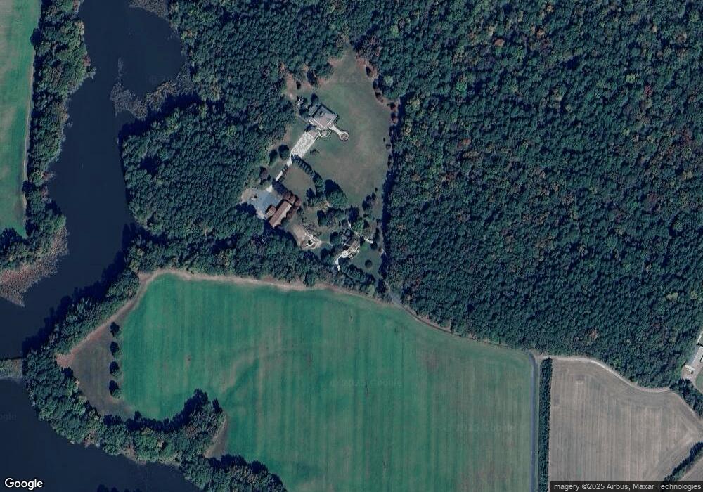
Map
Nearby Homes
- Charleston slab Plan at Lakeside at Trappe - Signature
- Alan Plan at Lakeside at Trappe - Signature
- Broadmoor Plan at Lakeside at Trappe - Signature
- Devonshire Front Load Garage Plan at Lakeside at Trappe - Townhomes
- Elmwood Front Load Garage Plan at Lakeside at Trappe - Townhomes
- Davidson Plan at Lakeside at Trappe - Signature
- Whitman Plan at Lakeside at Trappe - Signature
- Fairfield slab Plan at Lakeside at Trappe - Signature
- Hanover slab Plan at Lakeside at Trappe - Signature
- 1678 Lake Placid Dr
- 1684 Lake Placid Dr
- 1557 Lake Tahoe Dr
- 1556 Lake Tahoe Dr
- 1553 Lake Tahoe Dr
- 1662 Lake Placid Dr
- 1666 Lake Placid Dr
- 1674 Lake Placid Dr
- 1660 Lake Placid Dr
- 1549 Lake Tahoe Dr
- 1531 Lake Tahoe Dr
- 4317 Saulsbury Rd
- 4108 Saulsbury Rd
- 4286 Windy Hill Rd
- 4015 Saulsbury Rd
- 30716 Taylor Rd
- 31199 Bruceville Rd
- 30720 Taylor Rd
- 31100 Bruceville Rd
- 31032 Bruceville Rd
- 0 Windy Hill Rd Unit TA7942672
- 31042 Bruceville Rd
- 31048 Bruceville Rd
- 31260 Bruceville Rd
- 31270 Bruceville Rd
- 31286 Bruceville Rd
- 31292 Bruceville Rd
- 31300 Bruceville Rd
- 3878 Windy Hill Rd
- 31321 Bruceville Rd
- 31248 Bruceville Rd