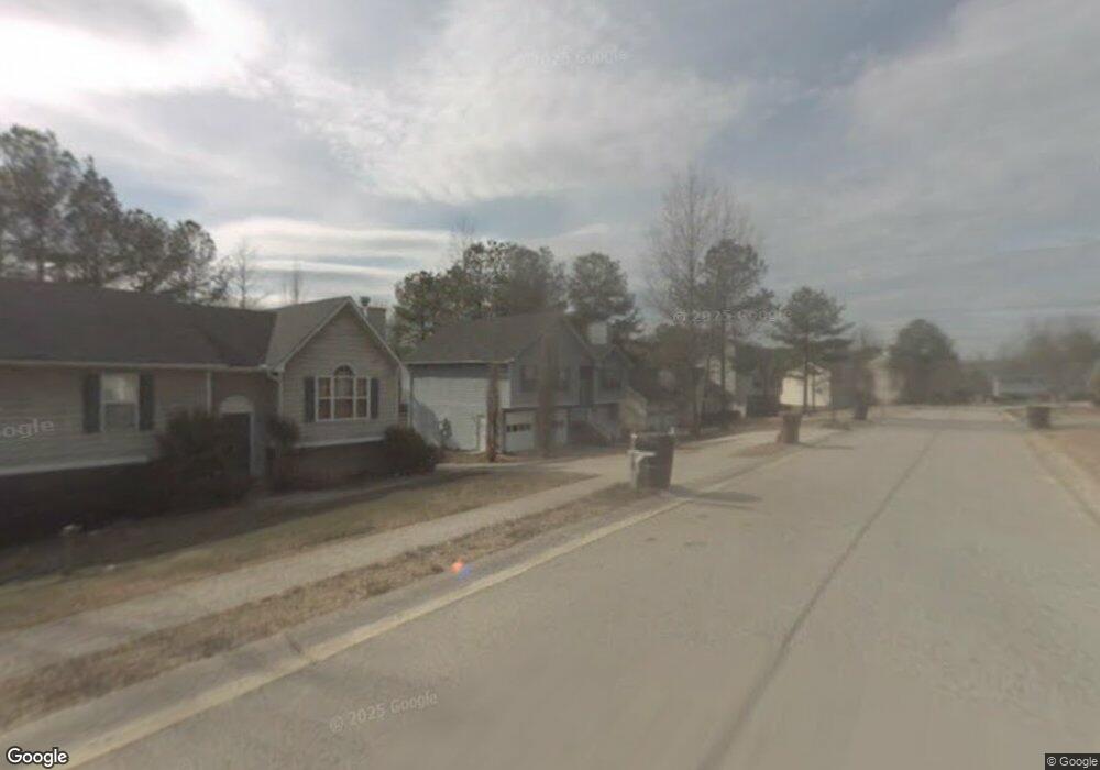
4332 Starboard Dr Powder Springs, GA 30127
Estimated Value: $260,000 - $325,666
3
Beds
2
Baths
1,248
Sq Ft
$238/Sq Ft
Est. Value
About This Home
This home is located at 4332 Starboard Dr, Powder Springs, GA 30127 and is currently estimated at $296,667, approximately $237 per square foot. 4332 Starboard Dr is a home located in Cobb County with nearby schools including Powder Springs Elementary School, Cooper Middle School, and McEachern High School.
Ownership History
Date
Name
Owned For
Owner Type
Purchase Details
Closed on
Jun 6, 2006
Sold by
Wells Fargo Bk Na
Bought by
Sec Va Affiars
Current Estimated Value
Purchase Details
Closed on
Apr 18, 1997
Sold by
Concord Realty Inc
Bought by
Phillips Donald J and Phillips Yvonna F
Home Financials for this Owner
Home Financials are based on the most recent Mortgage that was taken out on this home.
Original Mortgage
$94,554
Interest Rate
7.86%
Mortgage Type
VA
Create a Home Valuation Report for This Property
The Home Valuation Report is an in-depth analysis detailing your home's value as well as a comparison with similar homes in the area
Home Values in the Area
Average Home Value in this Area
Purchase History
| Date | Buyer | Sale Price | Title Company |
|---|---|---|---|
| Sec Va Affiars | -- | -- | |
| Wells Fargo Bk Na | $114,009 | -- | |
| Phillips Donald J | $92,700 | -- |
Source: Public Records
Mortgage History
| Date | Status | Borrower | Loan Amount |
|---|---|---|---|
| Previous Owner | Phillips Donald J | $94,554 |
Source: Public Records
Tax History Compared to Growth
Tax History
| Year | Tax Paid | Tax Assessment Tax Assessment Total Assessment is a certain percentage of the fair market value that is determined by local assessors to be the total taxable value of land and additions on the property. | Land | Improvement |
|---|---|---|---|---|
| 2025 | $2,535 | $109,548 | $22,000 | $87,548 |
| 2024 | $2,537 | $109,548 | $22,000 | $87,548 |
| 2023 | $1,995 | $109,548 | $22,000 | $87,548 |
| 2022 | $1,549 | $63,500 | $10,800 | $52,700 |
| 2021 | $1,549 | $63,500 | $10,800 | $52,700 |
| 2020 | $1,549 | $63,500 | $10,800 | $52,700 |
| 2019 | $1,420 | $57,588 | $8,000 | $49,588 |
| 2018 | $1,420 | $57,588 | $8,000 | $49,588 |
| 2017 | $1,065 | $45,984 | $8,000 | $37,984 |
| 2016 | $1,066 | $45,984 | $8,000 | $37,984 |
| 2015 | $600 | $29,208 | $4,800 | $24,408 |
| 2014 | $605 | $29,208 | $0 | $0 |
Source: Public Records
Map
Nearby Homes
- 3961 Brushy St
- 3936 Ladiga St
- 3947 Ladiga St
- 3940 Ladiga St
- 3950 Ladiga St
- 4096 Mistymorn Ln
- 4427 Brick Tunnel St
- Taylorsville Basement Plan at Westmont Preserve
- Taylorsville Plan at Westmont Preserve
- Dakota Plan at Westmont Preserve
- Sherwood Plan at Westmont Preserve
- Johnson Basement Plan at Westmont Preserve
- Gibson Plan at Westmont Preserve
- Johnson Plan at Westmont Preserve
- Northbrook Plan at Westmont Preserve
- 4439 Brick Tunnel St
- 4419 Brick Tunnel St
- 4330 Starboard Dr
- 4334 Starboard Dr
- 4336 Starboard Dr
- 4328 Starboard Dr
- 4361 Port Ln Unit 52
- 4361 Port Ln
- 4329 Starboard Dr
- 4338 Starboard Dr
- 4339 Starboard Dr
- 4326 Starboard Dr
- 4327 Starboard Dr
- 4363 Port Ln
- 4341 Starboard Dr
- 4319 Starboard Dr
- 4340 Starboard Dr
- 4317 Starboard Dr
- 4364 Port Ln
- 4324 Starboard Dr
- 0 Port Ln Unit 8664251
- 0 Port Ln Unit 8463172