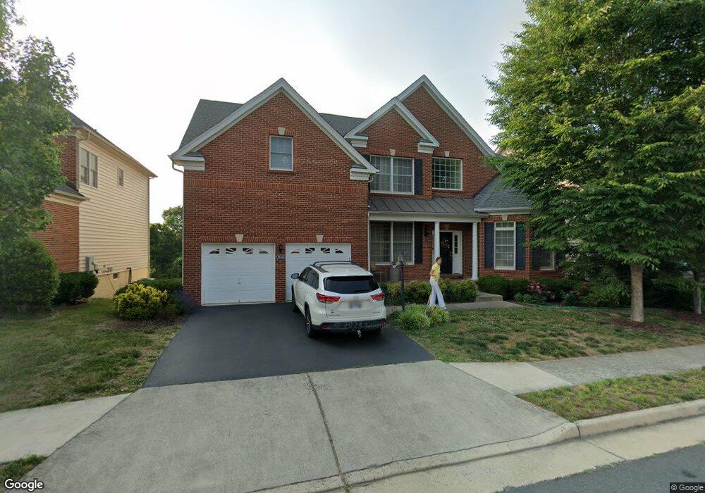
43325 Barnstead Dr Ashburn, VA 20148
Estimated Value: $1,249,000 - $1,394,000
4
Beds
5
Baths
3,745
Sq Ft
$353/Sq Ft
Est. Value
About This Home
This home is located at 43325 Barnstead Dr, Ashburn, VA 20148 and is currently estimated at $1,320,208, approximately $352 per square foot. 43325 Barnstead Dr is a home located in Loudoun County with nearby schools including Rosa Lee Carter Elementary School, Rock Ridge High School, and Stone Hill Middle School.
Ownership History
Date
Name
Owned For
Owner Type
Purchase Details
Closed on
Jul 13, 2011
Sold by
Loudoun Valley Associates Lp
Bought by
Aurelia Semenikhin Oleg A and Aurelia Dan
Current Estimated Value
Home Financials for this Owner
Home Financials are based on the most recent Mortgage that was taken out on this home.
Original Mortgage
$417,000
Outstanding Balance
$286,613
Interest Rate
4.49%
Mortgage Type
New Conventional
Estimated Equity
$1,033,595
Create a Home Valuation Report for This Property
The Home Valuation Report is an in-depth analysis detailing your home's value as well as a comparison with similar homes in the area
Home Values in the Area
Average Home Value in this Area
Purchase History
| Date | Buyer | Sale Price | Title Company |
|---|---|---|---|
| Aurelia Semenikhin Oleg A | $744,363 | -- |
Source: Public Records
Mortgage History
| Date | Status | Borrower | Loan Amount |
|---|---|---|---|
| Open | Aurelia Semenikhin Oleg A | $417,000 |
Source: Public Records
Tax History
| Year | Tax Paid | Tax Assessment Tax Assessment Total Assessment is a certain percentage of the fair market value that is determined by local assessors to be the total taxable value of land and additions on the property. | Land | Improvement |
|---|---|---|---|---|
| 2025 | $9,629 | $1,196,110 | $327,600 | $868,510 |
| 2024 | $9,342 | $1,080,030 | $307,600 | $772,430 |
| 2023 | $9,234 | $1,055,280 | $267,600 | $787,680 |
| 2022 | $8,535 | $958,980 | $267,600 | $691,380 |
| 2021 | $7,776 | $793,500 | $232,600 | $560,900 |
| 2020 | $8,172 | $789,610 | $222,600 | $567,010 |
| 2019 | $8,137 | $778,650 | $222,600 | $556,050 |
| 2018 | $8,017 | $738,910 | $207,600 | $531,310 |
| 2017 | $8,013 | $712,240 | $207,600 | $504,640 |
| 2016 | $7,966 | $695,700 | $0 | $0 |
| 2015 | $8,055 | $502,060 | $0 | $502,060 |
| 2014 | $7,857 | $498,250 | $0 | $498,250 |
Source: Public Records
Map
Nearby Homes
- 43341 Barnstead Dr
- 22951 Weybridge Square
- 22974 Weybridge Square
- 23151 Glenorchy Ct
- 22597 Windsor Locks Square
- 43151 Whelplehill Terrace
- 22831 Quante Square
- 23196 Wrathall Dr
- 43024 La Riva Dr
- 22537 Willington Square
- 23235 Milltown Knoll Square Unit 108
- 22613 Naugatuck Square
- 23276 Southdown Manor Terrace Unit 115
- 23255 Milltown Knoll Square Unit 110
- 22407 Dolomite Hills Dr
- 43032 Stuarts Glen Terrace Unit 106
- 23265 Milltown Knoll Square Unit 109
- 43192 Halkett Square
- 43047 Stuarts Glen Terrace Unit 106
- 22559 Hughesville Manor Ct
- 43329 Barnstead Dr
- 43321 Barnstead Dr
- 43317 Barnstead Dr
- 43333 Barnstead Dr
- 43328 Barnstead Dr
- 43324 Barnstead Dr
- 43320 Barnstead Dr
- 43332 Barnstead Dr
- 43316 Barnstead Dr
- 43313 Barnstead Dr
- 22930 Weybridge Square
- 43268 Barnstead Dr
- 43264 Barnstead Dr
- 43260 Barnstead Dr
- 43272 Barnstead Dr
- 22938 Weybridge Square
- 43309 Barnstead Dr
- 43276 Barnstead Dr
- 22942 Weybridge Square
- 43296 Barnstead Dr
Your Personal Tour Guide
Ask me questions while you tour the home.