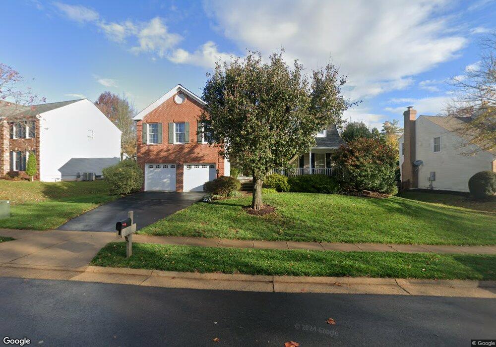
43329 Wayside Cir Ashburn, VA 20147
Estimated Value: $930,347 - $996,000
4
Beds
4
Baths
2,646
Sq Ft
$361/Sq Ft
Est. Value
About This Home
This home is located at 43329 Wayside Cir, Ashburn, VA 20147 and is currently estimated at $955,837, approximately $361 per square foot. 43329 Wayside Cir is a home located in Loudoun County with nearby schools including Sanders Corner Elementary School, Trailside Middle School, and Stone Bridge High.
Ownership History
Date
Name
Owned For
Owner Type
Purchase Details
Closed on
May 20, 1996
Sold by
Hamm John L
Bought by
Mattson Matthew S
Current Estimated Value
Home Financials for this Owner
Home Financials are based on the most recent Mortgage that was taken out on this home.
Original Mortgage
$192,000
Outstanding Balance
$10,711
Interest Rate
7.77%
Estimated Equity
$945,126
Create a Home Valuation Report for This Property
The Home Valuation Report is an in-depth analysis detailing your home's value as well as a comparison with similar homes in the area
Home Values in the Area
Average Home Value in this Area
Purchase History
| Date | Buyer | Sale Price | Title Company |
|---|---|---|---|
| Mattson Matthew S | $240,000 | -- |
Source: Public Records
Mortgage History
| Date | Status | Borrower | Loan Amount |
|---|---|---|---|
| Open | Mattson Matthew S | $192,000 |
Source: Public Records
Tax History Compared to Growth
Tax History
| Year | Tax Paid | Tax Assessment Tax Assessment Total Assessment is a certain percentage of the fair market value that is determined by local assessors to be the total taxable value of land and additions on the property. | Land | Improvement |
|---|---|---|---|---|
| 2025 | $7,363 | $914,670 | $301,500 | $613,170 |
| 2024 | $7,586 | $876,980 | $300,500 | $576,480 |
| 2023 | $7,485 | $855,410 | $300,500 | $554,910 |
| 2022 | $7,202 | $809,210 | $270,500 | $538,710 |
| 2021 | $7,013 | $715,630 | $220,500 | $495,130 |
| 2020 | $6,994 | $675,770 | $201,500 | $474,270 |
| 2019 | $6,907 | $660,930 | $201,500 | $459,430 |
| 2018 | $6,713 | $618,700 | $181,500 | $437,200 |
| 2017 | $6,749 | $599,870 | $181,500 | $418,370 |
| 2016 | $6,761 | $590,440 | $0 | $0 |
| 2015 | $6,571 | $387,400 | $0 | $387,400 |
| 2014 | $6,274 | $361,710 | $0 | $361,710 |
Source: Public Records
Map
Nearby Homes
- 43213 Wayside Cir
- 43535 Postrail Square
- 43300 Marymount Terrace Unit 301
- 43501 Postrail Square
- 43494 Postrail Square
- 21026 Timber Ridge Terrace Unit 202
- 43485 Plantation Terrace
- 20965 Timber Ridge Terrace Unit 304
- 43301 Chokeberry Square
- 20920 Cedarpost Square Unit 200
- 43507 Blacksmith Square
- 43183 Glenelder Terrace
- 20903 Ivymount Terrace
- 20653 Southwind Terrace
- 43218 Chokeberry Square
- 21005 Matchlock Ct
- 43111 Gatwick Square
- 20538 Courier Ridge Place
- 20900 Hollyberry Ct
- 43187 Rockfield Ct
- 43325 Wayside Cir
- 43333 Wayside Cir
- 43379 Wildrose Ct
- 43321 Wayside Cir
- 43337 Wayside Cir
- 43375 Wildrose Ct
- 43383 Wildrose Ct
- 43344 Wayside Cir
- 43348 Wayside Cir
- 43340 Wayside Cir
- 43317 Wayside Cir
- 43341 Wayside Cir
- 43371 Wildrose Ct
- 43352 Wayside Cir
- 43336 Wayside Cir
- 43387 Wildrose Ct
- 43313 Wayside Cir
- 43328 Wayside Cir
- 43345 Wayside Cir
- 43367 Wildrose Ct