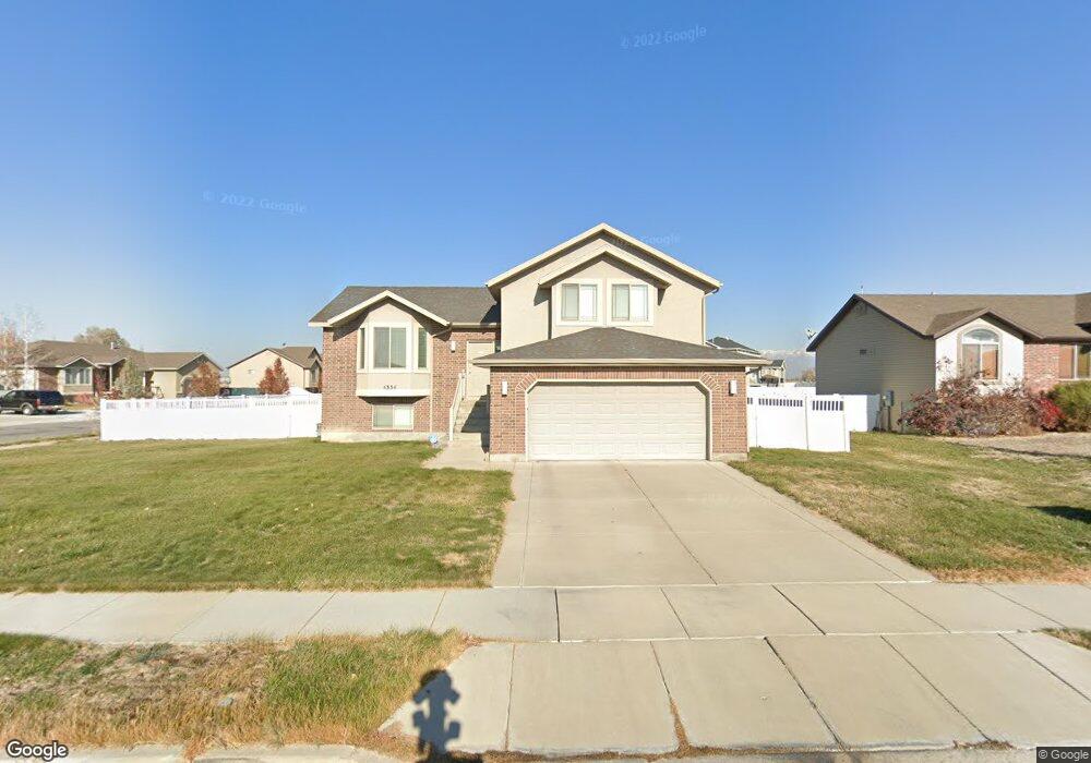
4334 W 1475 N West Point, UT 84015
Estimated Value: $526,911 - $539,000
3
Beds
3
Baths
2,194
Sq Ft
$242/Sq Ft
Est. Value
About This Home
This home is located at 4334 W 1475 N, West Point, UT 84015 and is currently estimated at $530,728, approximately $241 per square foot. 4334 W 1475 N is a home located in Davis County with nearby schools including West Point School, West Point Junior High School, and Syracuse High School.
Ownership History
Date
Name
Owned For
Owner Type
Purchase Details
Closed on
Aug 3, 2023
Sold by
Atkinson Donald L
Bought by
Meyer Wendy
Current Estimated Value
Home Financials for this Owner
Home Financials are based on the most recent Mortgage that was taken out on this home.
Original Mortgage
$23,500
Outstanding Balance
$22,927
Interest Rate
6.67%
Estimated Equity
$507,801
Purchase Details
Closed on
Oct 17, 2007
Sold by
Dhi Builders Llc
Bought by
Atkinson Donald L
Home Financials for this Owner
Home Financials are based on the most recent Mortgage that was taken out on this home.
Original Mortgage
$45,496
Interest Rate
6.42%
Mortgage Type
Stand Alone Second
Purchase Details
Closed on
Apr 27, 2006
Sold by
M & D Developers Llc
Bought by
Dhi Builders Llc
Create a Home Valuation Report for This Property
The Home Valuation Report is an in-depth analysis detailing your home's value as well as a comparison with similar homes in the area
Home Values in the Area
Average Home Value in this Area
Purchase History
| Date | Buyer | Sale Price | Title Company |
|---|---|---|---|
| Meyer Wendy | -- | First American Title Insurance | |
| Atkinson Donald L | -- | Equity Title Ins Agency Inc | |
| Dhi Builders Llc | -- | Heritage West Title Ins Agen |
Source: Public Records
Mortgage History
| Date | Status | Borrower | Loan Amount |
|---|---|---|---|
| Open | Meyer Wendy | $23,500 | |
| Open | Meyer Wendy | $471,207 | |
| Previous Owner | Atkinson Donald L | $45,496 | |
| Previous Owner | Atkinson Donald L | $181,982 |
Source: Public Records
Tax History
| Year | Tax Paid | Tax Assessment Tax Assessment Total Assessment is a certain percentage of the fair market value that is determined by local assessors to be the total taxable value of land and additions on the property. | Land | Improvement |
|---|---|---|---|---|
| 2025 | $2,844 | $261,800 | $109,684 | $152,116 |
| 2024 | $2,743 | $253,550 | $98,735 | $154,815 |
| 2023 | $2,531 | $430,000 | $123,821 | $306,179 |
| 2022 | $2,725 | $253,550 | $64,617 | $188,933 |
| 2021 | $2,509 | $349,000 | $100,151 | $248,849 |
| 2020 | $2,204 | $302,000 | $84,283 | $217,717 |
| 2019 | $2,112 | $285,000 | $81,727 | $203,273 |
| 2018 | $1,941 | $258,000 | $81,405 | $176,595 |
| 2016 | $1,773 | $123,640 | $31,512 | $92,128 |
| 2015 | $1,806 | $119,350 | $31,512 | $87,838 |
| 2014 | $1,786 | $119,392 | $31,512 | $87,880 |
| 2013 | -- | $104,669 | $29,761 | $74,908 |
Source: Public Records
Map
Nearby Homes
- 4348 W 1825 N Unit 103
- 4382 W 1825 N Unit 110
- 4396 W 1825 N Unit 112
- 2084 N 4500 W
- 3902 W 825 N
- 3656 W 1800 N
- 1156 N 5150 W
- 3828 W 2300 N
- 3816 W 2300 N
- 4901 W 650 N
- 477 N 4500 W
- 3826 W 2350 N
- 2118 Snowy Crane Dr
- 2444 N Hooded Crane Cir Unit 11
- 2216 N 3430 W
- 3118 W 1600 N
- 120 N 4325 W
- 339 N 3250 W Unit 12
- 3941 W 1800 N
- 4362 West St Unit 106
- 4326 W 1475 N
- 1518 N 4350 W
- 4314 W 1475 N
- 1544 N 4350 W Unit 32
- 4337 W 1475 N
- 1495 N 4350 W
- 4329 W 1475 N
- 1479 N 4350 W
- 1511 N 4350 W
- 1463 N 4350 W
- 4317 W 1475 N Unit 11
- 4317 W 1475 N
- 1493 N 4300 W
- 1527 N 4350 W
- 1513 N 4300 W
- 1350 N 4350 W Unit 6
- 1428 N 4350 W
- 4309 W 1475 N
- 1447 N 4350 W
- 1531 N 4300 W
Your Personal Tour Guide
Ask me questions while you tour the home.