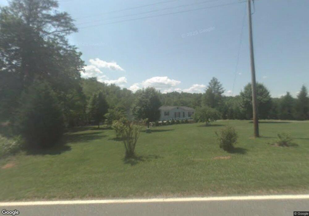
4335 Bennett Rd Morganton, NC 28655
Estimated Value: $213,000 - $265,000
2
Beds
1
Bath
1,056
Sq Ft
$223/Sq Ft
Est. Value
About This Home
This home is located at 4335 Bennett Rd, Morganton, NC 28655 and is currently estimated at $235,463, approximately $222 per square foot. 4335 Bennett Rd is a home located in Burke County with nearby schools including W.A. Young Elementary School, Table Rock Middle School, and Freedom High School.
Ownership History
Date
Name
Owned For
Owner Type
Purchase Details
Closed on
Dec 17, 2012
Sold by
Huffman John and Huffman Jody
Bought by
Benfield Tommy R and Benfield Frances L
Current Estimated Value
Home Financials for this Owner
Home Financials are based on the most recent Mortgage that was taken out on this home.
Original Mortgage
$84,693
Outstanding Balance
$58,872
Interest Rate
3.44%
Mortgage Type
New Conventional
Estimated Equity
$176,591
Create a Home Valuation Report for This Property
The Home Valuation Report is an in-depth analysis detailing your home's value as well as a comparison with similar homes in the area
Home Values in the Area
Average Home Value in this Area
Purchase History
| Date | Buyer | Sale Price | Title Company |
|---|---|---|---|
| Benfield Tommy R | $83,000 | None Available |
Source: Public Records
Mortgage History
| Date | Status | Borrower | Loan Amount |
|---|---|---|---|
| Open | Benfield Tommy R | $84,693 |
Source: Public Records
Tax History
| Year | Tax Paid | Tax Assessment Tax Assessment Total Assessment is a certain percentage of the fair market value that is determined by local assessors to be the total taxable value of land and additions on the property. | Land | Improvement |
|---|---|---|---|---|
| 2025 | $1,138 | $158,482 | $20,065 | $138,417 |
| 2024 | $1,142 | $158,482 | $20,065 | $138,417 |
| 2023 | $1,142 | $158,482 | $20,065 | $138,417 |
| 2022 | $915 | $104,086 | $12,775 | $91,311 |
| 2021 | $909 | $104,086 | $12,775 | $91,311 |
| 2020 | $905 | $104,086 | $12,775 | $91,311 |
| 2019 | $879 | $104,086 | $12,775 | $91,311 |
| 2018 | $778 | $91,105 | $12,775 | $78,330 |
| 2017 | $776 | $91,105 | $12,775 | $78,330 |
| 2016 | $757 | $91,105 | $12,775 | $78,330 |
| 2015 | $754 | $91,105 | $12,775 | $78,330 |
| 2014 | $753 | $91,105 | $12,775 | $78,330 |
| 2013 | $753 | $91,105 | $12,775 | $78,330 |
Source: Public Records
Map
Nearby Homes
- 4204 Bennett Rd Unit 4206
- 5251 Mount Olive Church Rd
- 5235 Mount Olive Church Rd
- Lot 6 Rainhill Church Rd
- Lot 1 & 2 Rainhill Church Rd
- 4796 Nursery Rd
- 2130 South Dr Unit Lot 34
- 4815 Mount Olive Church Rd
- 0 Elk Ct Unit 26
- 0 Elk Ct Unit 27 CAR4005593
- 5341 Reese Store Ave
- 3825 Wood Glen Dr Unit 5
- 4970 Morrison Rd
- 4555 Bristol Dr
- 4617 Bristol Dr Unit 13
- 4498 Bristol Dr Unit 24
- 4482 Bristol Dr Unit 25
- 4418 Bristol Dr
- 4542 Bristol Dr Unit 22
- 4629 Bristol Dr Unit 14
- 4341 Bennett Rd
- 4353 Bennett Rd
- 4303 Bennett Rd
- 4375 Bennett Rd
- 4315 Bridges Field
- 4360 Bennett Rd
- 4387 Bennett Rd
- 4308 Bennett Rd
- 5158 Bridges Crossing Rd
- 4308 Bridges Field
- 4399 Bennett Rd
- 4368 Bennett Rd
- 5145 Bridges Crossing Rd
- 5145 Bridges Crossing Rd
- 4433 Bennett Rd
- 5157 Bridges Crossing Rd
- 5257 Norville Hill Rd Unit 5271
- 4430 Bennett Rd
- 4447 Bennett Rd
- 4432 Bennett Rd