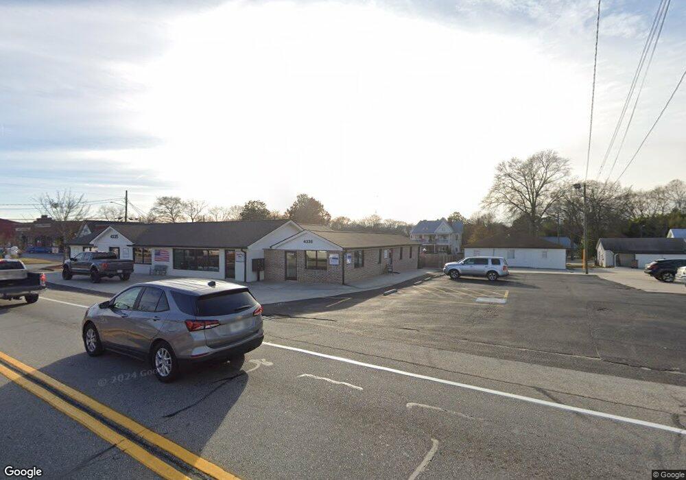
4335 Highway 53 Hoschton, GA 30548
Estimated Value: $421,371
--
Bed
--
Bath
3,298
Sq Ft
$128/Sq Ft
Est. Value
About This Home
This home is located at 4335 Highway 53, Hoschton, GA 30548 and is currently estimated at $421,371, approximately $127 per square foot. 4335 Highway 53 is a home located in Jackson County with nearby schools including West Jackson Elementary School, West Jackson Middle School, and Jackson County High School.
Ownership History
Date
Name
Owned For
Owner Type
Purchase Details
Closed on
Jun 2, 2021
Sold by
Rjmc Properties Llc
Bought by
P & G 53 Llc
Current Estimated Value
Purchase Details
Closed on
Sep 27, 2019
Sold by
Best Partners Llc
Bought by
Rjmc Properties Llc
Purchase Details
Closed on
Oct 28, 2014
Sold by
Decatur Properties Iv Inc
Bought by
Best Partners Llc
Purchase Details
Closed on
Jul 1, 2014
Sold by
Din & Gul Inc
Bought by
Decatur Properties Iv Inc
Purchase Details
Closed on
Sep 7, 2006
Sold by
Not Provided
Bought by
Din
Home Financials for this Owner
Home Financials are based on the most recent Mortgage that was taken out on this home.
Original Mortgage
$555,000
Interest Rate
6.52%
Mortgage Type
Commercial
Purchase Details
Closed on
Nov 5, 1998
Sold by
Phillips Earl Laird
Bought by
Hajiani Investment I
Create a Home Valuation Report for This Property
The Home Valuation Report is an in-depth analysis detailing your home's value as well as a comparison with similar homes in the area
Home Values in the Area
Average Home Value in this Area
Purchase History
| Date | Buyer | Sale Price | Title Company |
|---|---|---|---|
| P & G 53 Llc | -- | -- | |
| P & G 53 Llc | -- | -- | |
| Rjmc Properties Llc | $250,000 | -- | |
| Best Partners Llc | $145,000 | -- | |
| Decatur Properties Iv Inc | $126,000 | -- | |
| Din | $500,000 | -- | |
| Hajiani Investment I | $175,000 | -- |
Source: Public Records
Mortgage History
| Date | Status | Borrower | Loan Amount |
|---|---|---|---|
| Previous Owner | Din | $555,000 |
Source: Public Records
Tax History Compared to Growth
Tax History
| Year | Tax Paid | Tax Assessment Tax Assessment Total Assessment is a certain percentage of the fair market value that is determined by local assessors to be the total taxable value of land and additions on the property. | Land | Improvement |
|---|---|---|---|---|
| 2024 | $2,286 | $70,396 | $30,480 | $39,916 |
| 2023 | $2,286 | $75,236 | $30,480 | $44,756 |
| 2022 | $2,353 | $64,796 | $24,360 | $40,436 |
| 2021 | $2,393 | $73,996 | $24,360 | $49,636 |
| 2020 | $2,446 | $69,556 | $24,360 | $45,196 |
| 2019 | $2,332 | $65,156 | $24,360 | $40,796 |
| 2018 | $2,736 | $75,756 | $24,360 | $51,396 |
| 2017 | $2,760 | $75,828 | $24,394 | $51,434 |
| 2016 | $2,771 | $75,828 | $24,394 | $51,434 |
| 2015 | $1,595 | $43,484 | $23,057 | $20,427 |
| 2014 | $1,565 | $43,484 | $23,057 | $20,427 |
| 2013 | -- | $43,484 | $23,057 | $20,427 |
Source: Public Records
Map
Nearby Homes
- 74 White St
- 176 Bell Ave
- 289 Bell Ave
- 49 Creekside Commons Dr
- 45 Creekside Commons Dr
- 41 Creekside Commons Dr
- 37 Creekside Commons Dr
- 8422 Pendergrass Rd
- 329 Winterset Cir
- 21 Creekside Commons Dr
- 15 Creekside Commons Dr
- 11 Creekside Commons Dr
- 372 Meadow Vista Ln
- 22 Huntley Trace Unit 230
- 60 Huntley Trace
- 4335 Georgia 53
- 61 White St
- 4373 Highway 53
- 51 White St
- 39 White St
- 4372 Orchard Grove
- 2004 Woodmarsh Cir
- 2004 Woodmarsh Cir Unit 71
- 4397 Highway 53
- 4397 Highway 53
- 4397 Georgia 53
- 38 White St
- 0 Main St
- 0000 Moon Bridge Rd
- 4328 Highway 53
- 90 Bell Ave
- 108 White St
- 0 City Square St Unit 8267450
- 169 Hosch St Unit 12
- 22 White St