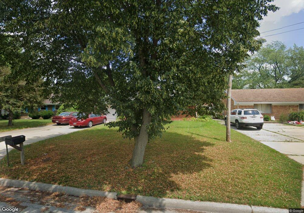
4335 May Dr Maumee, OH 43537
Estimated Value: $199,000 - $243,000
3
Beds
2
Baths
1,288
Sq Ft
$169/Sq Ft
Est. Value
About This Home
This home is located at 4335 May Dr, Maumee, OH 43537 and is currently estimated at $217,938, approximately $169 per square foot. 4335 May Dr is a home located in Lucas County with nearby schools including Maumee Intermediate School, Fairfield Elementary School, and Maumee Middle School.
Ownership History
Date
Name
Owned For
Owner Type
Purchase Details
Closed on
Jan 6, 2017
Sold by
Peneff Robert R
Bought by
Tiffany Eckhart
Current Estimated Value
Home Financials for this Owner
Home Financials are based on the most recent Mortgage that was taken out on this home.
Interest Rate
4.2%
Purchase Details
Closed on
Nov 16, 2016
Sold by
Peneff R H
Bought by
Robert R Peneff
Home Financials for this Owner
Home Financials are based on the most recent Mortgage that was taken out on this home.
Interest Rate
4.2%
Create a Home Valuation Report for This Property
The Home Valuation Report is an in-depth analysis detailing your home's value as well as a comparison with similar homes in the area
Home Values in the Area
Average Home Value in this Area
Purchase History
| Date | Buyer | Sale Price | Title Company |
|---|---|---|---|
| Tiffany Eckhart | -- | -- | |
| Robert R Peneff | -- | -- |
Source: Public Records
Mortgage History
| Date | Status | Borrower | Loan Amount |
|---|---|---|---|
| Closed | Robert R Peneff | -- | |
| Previous Owner | Robert R Peneff | -- |
Source: Public Records
Tax History
| Year | Tax Paid | Tax Assessment Tax Assessment Total Assessment is a certain percentage of the fair market value that is determined by local assessors to be the total taxable value of land and additions on the property. | Land | Improvement |
|---|---|---|---|---|
| 2025 | -- | $57,400 | $10,360 | $47,040 |
| 2024 | $1,856 | $57,400 | $10,360 | $47,040 |
| 2023 | $3,463 | $45,710 | $8,470 | $37,240 |
| 2022 | $3,080 | $45,710 | $8,470 | $37,240 |
| 2021 | $3,326 | $45,710 | $8,470 | $37,240 |
| 2020 | $3,464 | $42,455 | $7,735 | $34,720 |
| 2019 | $3,380 | $42,455 | $7,735 | $34,720 |
| 2018 | $2,818 | $42,455 | $7,735 | $34,720 |
| 2017 | $2,983 | $38,010 | $7,560 | $30,450 |
| 2016 | $4,198 | $108,600 | $21,600 | $87,000 |
| 2015 | $2,269 | $108,600 | $21,600 | $87,000 |
| 2014 | $2,092 | $37,280 | $7,420 | $29,860 |
| 2013 | $2,092 | $37,280 | $7,420 | $29,860 |
Source: Public Records
Map
Nearby Homes
- 6002 Monclova Rd
- 948 Joliet Dr
- 701 W Broadway St
- 213 E Indiana Ave
- 224 Sackett St
- 4347 Crystal Ridge Dr E
- 218 E John St
- 306 Clinton St
- 4417 Clearwater Dr E
- 326 E Dudley St
- 408 Clinton St
- 4731 Lakeside Dr
- 4745 Lakeside Dr
- 324 Oxford Ct
- 4736 Lakeside Dr
- 3385 Manley Rd
- 2334 Sunflower Ct
- 4807 Port Dr
- 500 Rutledge Ct
- 6744 W Meadows Ln
Your Personal Tour Guide
Ask me questions while you tour the home.