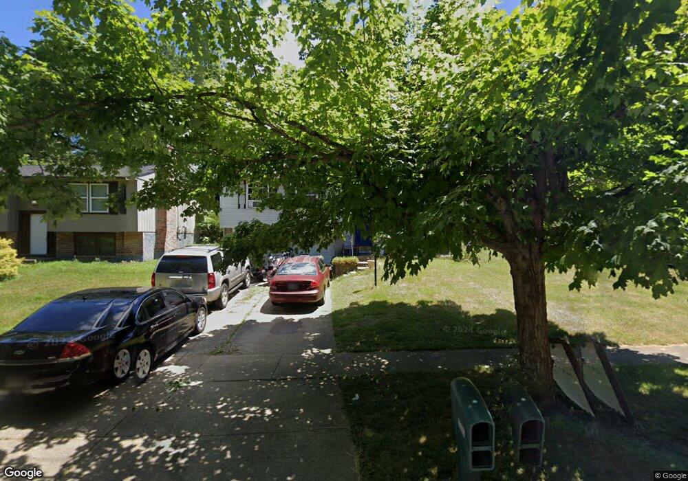
4335 Mount Alverno Rd Cincinnati, OH 45238
Delshire NeighborhoodEstimated Value: $193,000 - $232,259
3
Beds
2
Baths
1,484
Sq Ft
$141/Sq Ft
Est. Value
About This Home
This home is located at 4335 Mount Alverno Rd, Cincinnati, OH 45238 and is currently estimated at $209,565, approximately $141 per square foot. 4335 Mount Alverno Rd is a home located in Hamilton County with nearby schools including Delshire Elementary School, Delhi Middle School, and Oak Hills High School.
Ownership History
Date
Name
Owned For
Owner Type
Purchase Details
Closed on
Oct 23, 1998
Sold by
Mains Joseph I and Mains Tammi A
Bought by
Wynn Monroe
Current Estimated Value
Home Financials for this Owner
Home Financials are based on the most recent Mortgage that was taken out on this home.
Original Mortgage
$94,400
Outstanding Balance
$19,117
Interest Rate
6.88%
Mortgage Type
FHA
Estimated Equity
$190,448
Purchase Details
Closed on
Apr 28, 1995
Sold by
Ramsey Theodore R and Ramsey Darlene L
Bought by
Mains Joseph I and Mains Tammi A
Home Financials for this Owner
Home Financials are based on the most recent Mortgage that was taken out on this home.
Original Mortgage
$83,500
Interest Rate
8.43%
Mortgage Type
VA
Create a Home Valuation Report for This Property
The Home Valuation Report is an in-depth analysis detailing your home's value as well as a comparison with similar homes in the area
Home Values in the Area
Average Home Value in this Area
Purchase History
We collect this data history from publicly available records. To have your information removed, we recommend requesting removal directly through your county’s website.
| Date | Buyer | Sale Price | Title Company |
|---|---|---|---|
| Wynn Monroe | $94,500 | -- | |
| Mains Joseph I | -- | -- |
Source: Public Records
Mortgage History
We collect this data history from publicly available records. To have your information removed, we recommend requesting removal directly through your county’s website.
| Date | Status | Borrower | Loan Amount |
|---|---|---|---|
| Open | Wynn Monroe | $94,400 | |
| Previous Owner | Mains Joseph I | $83,500 |
Source: Public Records
Tax History
| Year | Tax Paid | Tax Assessment Tax Assessment Total Assessment is a certain percentage of the fair market value that is determined by local assessors to be the total taxable value of land and additions on the property. | Land | Improvement |
|---|---|---|---|---|
| 2025 | $3,512 | $59,017 | $7,847 | $51,170 |
| 2024 | $3,426 | $59,017 | $7,847 | $51,170 |
| 2023 | $3,436 | $59,017 | $7,847 | $51,170 |
| 2022 | $2,599 | $39,666 | $7,655 | $32,011 |
| 2021 | $2,546 | $39,666 | $7,655 | $32,011 |
| 2020 | $2,582 | $39,666 | $7,655 | $32,011 |
| 2019 | $2,356 | $32,516 | $6,276 | $26,240 |
| 2018 | $2,359 | $32,516 | $6,276 | $26,240 |
| 2017 | $2,130 | $32,516 | $6,276 | $26,240 |
| 2016 | $1,504 | $22,947 | $7,165 | $15,782 |
| 2015 | $1,506 | $22,947 | $7,165 | $15,782 |
| 2014 | $1,508 | $22,947 | $7,165 | $15,782 |
| 2013 | $1,448 | $23,416 | $7,312 | $16,104 |
Source: Public Records
Map
Nearby Homes
- 4297 Champdale Ln
- 4307 Copperfield Ln
- 4294 Mayhew Ave
- 4166 Copperfield Ln
- 4136 Delhi Rd
- 4136 Delhi Ave
- 439 Pedretti Ave
- 3889 Hillside Ave
- 4805 Mayhew Ave
- 337 Greenwell Ave
- 3601 Hillside Ave
- 517 Trenton Ave
- 3556 Wisconsin Ave
- 493 Pedretti Ave
- 250 Greenwell Ave
- 253 Greenwell Ave
- 412 Roebling Rd
- 538 Roebling Rd
- 574 Virgil Rd
- 263 Clareknoll Ct
- 4329 Mount Alverno Rd
- 4343 Mount Alverno Rd
- 4323 Mt Alverno Rd
- 4323 Mt Alverno Rd
- 4323 Mount Alverno Rd
- 4286 Delryan Dr
- 4347 Mount Alverno Rd
- 4288 Delryan Dr
- 4278 Delryan Dr
- 4290 Delryan Dr
- 4274 Delryan Dr
- 4315 Mount Alverno Rd
- 4404 Mount Alverno Rd
- 4294 Delryan Dr
- A Delryan Dr
- 4270 Delryan Dr
- 4309 Mount Alverno Rd
- 4357 Mount Alverno Rd
- 4298 Delryan Dr
- 4266 Delryan Dr
Your Personal Tour Guide
Ask me questions while you tour the home.