4337 Holbrook Rd Randallstown, MD 21133
Estimated Value: $351,142 - $406,000
--
Bed
2
Baths
1,780
Sq Ft
$209/Sq Ft
Est. Value
About This Home
This home is located at 4337 Holbrook Rd, Randallstown, MD 21133 and is currently estimated at $372,286, approximately $209 per square foot. 4337 Holbrook Rd is a home located in Baltimore County with nearby schools including Hernwood Elementary School, Deer Park Middle Magnet School, and New Town High.
Ownership History
Date
Name
Owned For
Owner Type
Purchase Details
Closed on
Oct 17, 2007
Sold by
Reinke Joan Catherine
Bought by
Reinke Joan Catherine
Current Estimated Value
Purchase Details
Closed on
Sep 28, 2007
Sold by
Reinke Joan Catherine
Bought by
Reinke Joan Catherine
Purchase Details
Closed on
Sep 14, 2004
Sold by
Turner Mollie E
Bought by
Reinke Joan Catherine
Purchase Details
Closed on
Aug 16, 1979
Sold by
Mcgarvey Richard J
Bought by
Turner Mollie E
Create a Home Valuation Report for This Property
The Home Valuation Report is an in-depth analysis detailing your home's value as well as a comparison with similar homes in the area
Home Values in the Area
Average Home Value in this Area
Purchase History
| Date | Buyer | Sale Price | Title Company |
|---|---|---|---|
| Reinke Joan Catherine | -- | -- | |
| Reinke Joan Catherine | -- | -- | |
| Reinke Joan Catherine | $242,000 | -- | |
| Turner Mollie E | $60,000 | -- |
Source: Public Records
Tax History Compared to Growth
Tax History
| Year | Tax Paid | Tax Assessment Tax Assessment Total Assessment is a certain percentage of the fair market value that is determined by local assessors to be the total taxable value of land and additions on the property. | Land | Improvement |
|---|---|---|---|---|
| 2025 | $2,717 | $239,233 | -- | -- |
| 2024 | $2,717 | $220,200 | $87,100 | $133,100 |
| 2023 | $1,347 | $217,367 | $0 | $0 |
| 2022 | $2,416 | $214,533 | $0 | $0 |
| 2021 | $2,534 | $211,700 | $87,100 | $124,600 |
| 2020 | $2,534 | $204,100 | $0 | $0 |
| 2019 | $2,441 | $196,500 | $0 | $0 |
| 2018 | $2,349 | $188,900 | $87,100 | $101,800 |
| 2017 | $2,319 | $188,100 | $0 | $0 |
| 2016 | $2,040 | $187,300 | $0 | $0 |
| 2015 | $2,040 | $186,500 | $0 | $0 |
| 2014 | $2,040 | $186,500 | $0 | $0 |
Source: Public Records
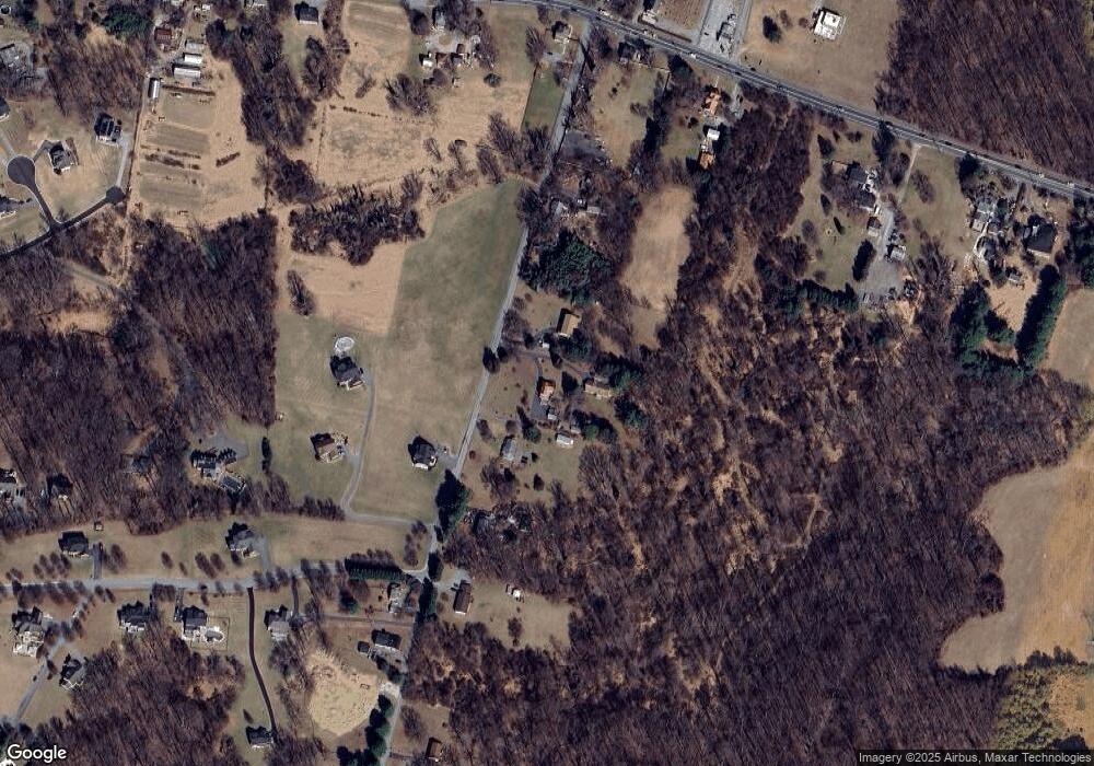
Map
Nearby Homes
- 10702 Liberty Rd
- 4107 Holbrook Rd
- 4133 Holbrook Rd
- 0 Steffeny Rd
- 4129 Holbrook Rd
- 3900 Falls Run Rd
- 11120 Liberty Rd
- 4615 Deer Park Rd
- 10007 Lyons Mill Rd
- 10520 Marriottsville Rd
- 11 Liberty Ridge Ct
- 11330 Liberty Rd
- 9998 Tuscarora Rd
- 10301 Marriottsville Rd
- 38 Millstone Rd
- 5010 Wards Chapel Rd
- 4264 Cayuga Rd
- 3618 Granite Rd
- 30 Sheraton Rd
- 17 Bannock Ct
- 4339 Holbrook Rd
- 4329 Holbrook Rd
- 4411 Holbrook Rd
- 4330 Holbrook Rd
- 4325 Holbrook Rd
- 4417 Holbrook Rd
- 4322 Holbrook Rd
- 4320 Holbrook Rd
- 4315 Holbrook Rd
- 4314 Holbrook Rd
- 4310 Holbrook Rd
- 10809 Stansfield Rd
- 10809 Stansfield Rd
- 10700 Chapeldale Rd
- 10627 Liberty Rd
- 10637 Liberty Rd
- 10701 Chapeldale Rd
- 10701 Liberty Rd
- 10711 Liberty Rd
- 10535 Liberty Rd