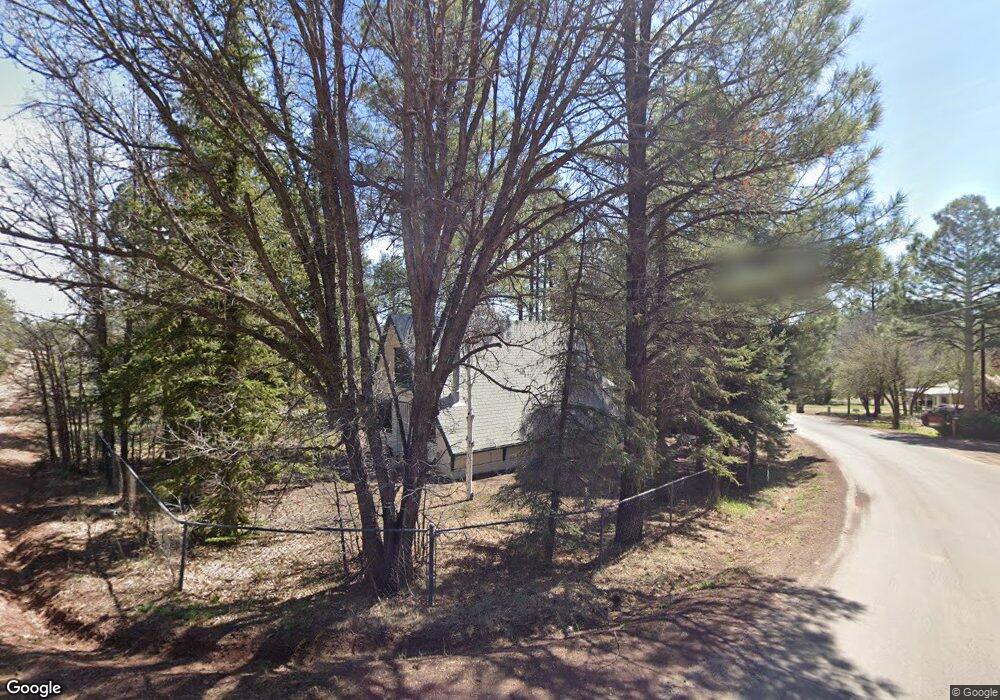
4339 Adamson St Show Low, AZ 85901
Estimated Value: $184,433 - $280,000
--
Bed
--
Bath
692
Sq Ft
$320/Sq Ft
Est. Value
About This Home
This home is located at 4339 Adamson St, Show Low, AZ 85901 and is currently estimated at $221,358, approximately $319 per square foot. 4339 Adamson St is a home located in Navajo County with nearby schools including Nikolaus Homestead Elementary School, Show Low High School, and Show Low Junior High School.
Ownership History
Date
Name
Owned For
Owner Type
Purchase Details
Closed on
May 8, 2024
Sold by
Tolson James L and Tolson Marion D
Bought by
Tolson Family Trust and Tolson
Current Estimated Value
Purchase Details
Closed on
May 6, 2024
Sold by
Tolson James L and Tolson Marion D
Bought by
Tolson Family Trust and Tolson
Purchase Details
Closed on
Aug 23, 2007
Sold by
Pilkington Dixie D
Bought by
Tolson James L and Tolson Marion D
Create a Home Valuation Report for This Property
The Home Valuation Report is an in-depth analysis detailing your home's value as well as a comparison with similar homes in the area
Home Values in the Area
Average Home Value in this Area
Purchase History
| Date | Buyer | Sale Price | Title Company |
|---|---|---|---|
| Tolson Family Trust | -- | None Listed On Document | |
| Tolson Family Trust | -- | None Listed On Document | |
| Tolson James L | $135,000 | Landamerica Transnation Titl |
Source: Public Records
Tax History Compared to Growth
Tax History
| Year | Tax Paid | Tax Assessment Tax Assessment Total Assessment is a certain percentage of the fair market value that is determined by local assessors to be the total taxable value of land and additions on the property. | Land | Improvement |
|---|---|---|---|---|
| 2026 | $759 | -- | -- | -- |
| 2025 | $747 | $14,719 | $2,350 | $12,369 |
| 2024 | $731 | $14,626 | $2,350 | $12,276 |
| 2023 | $747 | $11,430 | $2,280 | $9,150 |
| 2022 | $707 | $0 | $0 | $0 |
| 2021 | $708 | $0 | $0 | $0 |
| 2020 | $665 | $0 | $0 | $0 |
| 2019 | $664 | $0 | $0 | $0 |
| 2018 | $671 | $0 | $0 | $0 |
| 2017 | $620 | $0 | $0 | $0 |
| 2016 | $602 | $0 | $0 | $0 |
| 2015 | $565 | $5,481 | $900 | $4,581 |
Source: Public Records
Map
Nearby Homes
- 4195 Adamson St
- 4328 Forest Glade Dr
- 4041 Gold Dust Trail
- 2822 Gold Dust Trail
- 2842 Gold Dust Trail
- 3680 Sage Ln Unit 260
- 1760 S Monkshood Rd
- 4251 W Acer Ln
- 1791 W Snow Creek Loop
- 2540 W Pinegrass Rd
- 1761 S Alder Leaf Ln
- 1661 S Gambel Oak Rd
- 1491 W Snow Creek Trail
- 4051 W Falling Leaf Rd
- 2080 S High Sierra Ct
- 2080 S High Sierra Ct Unit 86A
- 1601 S Spruce Ln
- 1300 W Sugar Creek Ct
- 1820 S Rockwood Cir
- 2221 W Edgewater Unit Lot 57
- 2957 Stardust Dr
- 3119 Stardust Dr
- 4340 Quail Ave
- 4279 Adamson St
- 3092 Stardust Dr
- 0 Stardust Dr Unit 443 6594307
- 0 Stardust Dr Unit 443
- 4316 Quail Ave
- 4304 Quail Ave
- 4255 Adamson St
- 3011 Stardust Dr
- 4268 Quail Ave
- 2992 Stardust Dr
- 4269 Quail Ave
- 4244 Quail Ave
- 4195 Adamson St Unit summer pines
- 4422 Larkspur Rd
- 4398 Larkspur Dr
- 4290 Larkspur Dr
- 2991 Summer Pines Dr