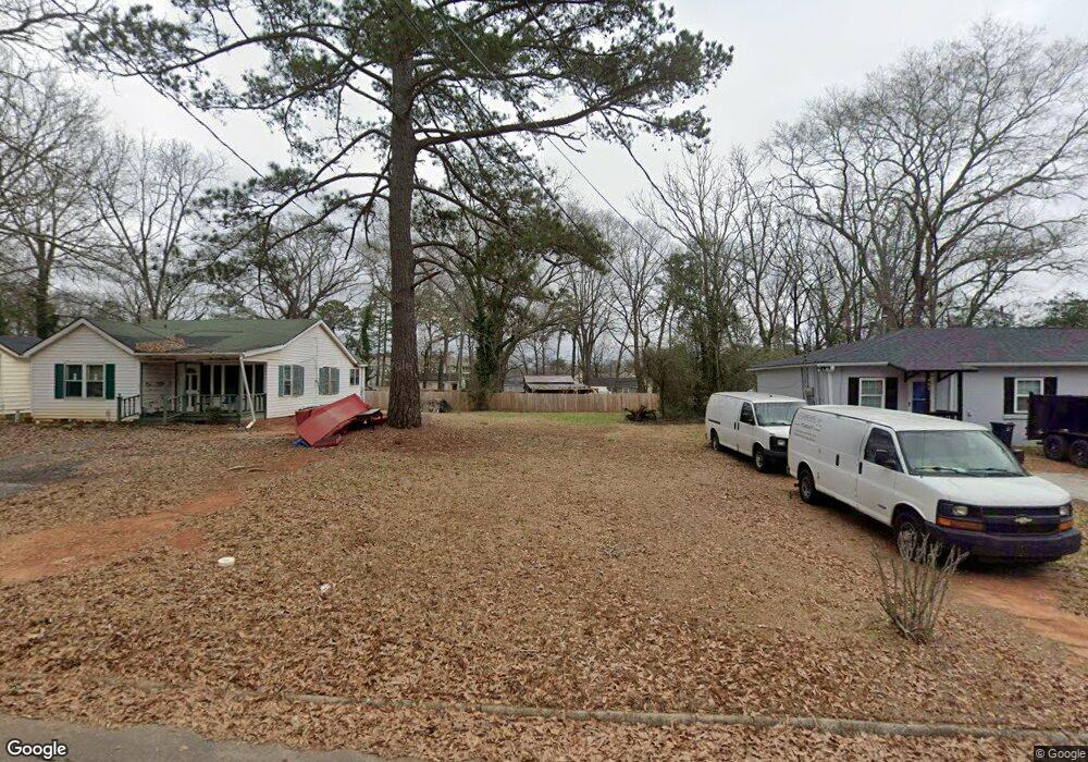
434 Barlow St Griffin, GA 30224
Spalding County NeighborhoodEstimated Value: $39,514 - $151,000
3
Beds
1
Bath
1,288
Sq Ft
$71/Sq Ft
Est. Value
About This Home
This home is located at 434 Barlow St, Griffin, GA 30224 and is currently estimated at $90,879, approximately $70 per square foot. 434 Barlow St is a home located in Spalding County with nearby schools including Anne Street Elementary School, Rehoboth Road Middle School, and Griffin High School.
Ownership History
Date
Name
Owned For
Owner Type
Purchase Details
Closed on
Feb 16, 2006
Sold by
Johnson Fred
Bought by
Ingram Corine H
Current Estimated Value
Purchase Details
Closed on
Apr 25, 2005
Sold by
Wells Fargo Bl Mn Na
Bought by
Ingram Corine H
Purchase Details
Closed on
Oct 5, 2004
Sold by
Vaughn Lowell
Bought by
Wells Fargo Bk Mn Na
Purchase Details
Closed on
Jan 2, 2003
Sold by
Omni Natl Bk
Bought by
Vaughn Lowelll
Home Financials for this Owner
Home Financials are based on the most recent Mortgage that was taken out on this home.
Original Mortgage
$62,400
Interest Rate
6.1%
Mortgage Type
New Conventional
Purchase Details
Closed on
Oct 1, 2002
Sold by
Norton Charles
Bought by
Omni National Bk
Purchase Details
Closed on
Jun 17, 2002
Sold by
Omni Natl Bk
Bought by
Norton Charles
Home Financials for this Owner
Home Financials are based on the most recent Mortgage that was taken out on this home.
Original Mortgage
$43,000
Interest Rate
6.77%
Mortgage Type
New Conventional
Purchase Details
Closed on
May 8, 2002
Sold by
Cason Craig
Bought by
Omni National Bk
Home Financials for this Owner
Home Financials are based on the most recent Mortgage that was taken out on this home.
Original Mortgage
$43,000
Interest Rate
6.77%
Mortgage Type
New Conventional
Purchase Details
Closed on
Mar 23, 2001
Sold by
Weathers Weathers S and Weathers Margaret O
Bought by
Cason Craig
Home Financials for this Owner
Home Financials are based on the most recent Mortgage that was taken out on this home.
Original Mortgage
$45,525
Interest Rate
6.98%
Mortgage Type
New Conventional
Purchase Details
Closed on
Sep 1, 1979
Sold by
Goldstein Louis W
Bought by
Weathers Weathers S and Weathers Margaret O
Purchase Details
Closed on
Apr 6, 1971
Sold by
Akin Mrs Hazel
Bought by
Goldstein Louis W
Purchase Details
Closed on
Jul 1, 1954
Bought by
Akin Mrs Hazel
Create a Home Valuation Report for This Property
The Home Valuation Report is an in-depth analysis detailing your home's value as well as a comparison with similar homes in the area
Home Values in the Area
Average Home Value in this Area
Purchase History
| Date | Buyer | Sale Price | Title Company |
|---|---|---|---|
| Ingram Corine H | $18,000 | -- | |
| Ingram Corine H | $35,000 | -- | |
| Wells Fargo Bk Mn Na | $47,500 | -- | |
| Vaughn Lowelll | $78,000 | -- | |
| Omni National Bk | $43,000 | -- | |
| Norton Charles | $37,000 | -- | |
| Omni National Bk | $45,445 | -- | |
| Cason Craig | $43,000 | -- | |
| Weathers Weathers S | $6,500 | -- | |
| Goldstein Louis W | $18,000 | -- | |
| Akin Mrs Hazel | -- | -- |
Source: Public Records
Mortgage History
| Date | Status | Borrower | Loan Amount |
|---|---|---|---|
| Previous Owner | Vaughn Lowelll | $62,400 | |
| Previous Owner | Norton Charles | $43,000 | |
| Previous Owner | Cason Craig | $45,525 |
Source: Public Records
Tax History Compared to Growth
Tax History
| Year | Tax Paid | Tax Assessment Tax Assessment Total Assessment is a certain percentage of the fair market value that is determined by local assessors to be the total taxable value of land and additions on the property. | Land | Improvement |
|---|---|---|---|---|
| 2024 | $131 | $3,420 | $3,420 | $0 |
| 2023 | $131 | $3,420 | $3,420 | $0 |
| 2022 | $91 | $2,280 | $2,280 | $0 |
| 2021 | $91 | $2,280 | $2,280 | $0 |
| 2020 | $91 | $2,280 | $2,280 | $0 |
| 2019 | $93 | $2,280 | $2,280 | $0 |
| 2018 | $96 | $2,280 | $2,280 | $0 |
| 2017 | $94 | $2,280 | $2,280 | $0 |
| 2016 | $228 | $5,431 | $2,280 | $3,151 |
| 2015 | $232 | $5,431 | $2,280 | $3,151 |
| 2014 | $239 | $5,431 | $2,280 | $3,151 |
Source: Public Records
Map
Nearby Homes
- 1012 W College Extension
- 1054 W College Street Extension
- 717 Scales St
- 305 S 18th St
- 731 Scales St
- 915 W Poplar St
- 309 Cherokee Cir
- 754 Scales St
- 1228-1328 Edgewood Ave
- 1022 Beck St
- 1264 Cherokee Ave
- 1313 D F Fuller Dr
- 811 Westbrook St
- 854 Scales St
- 820 Pamela Dr
- 320 S 12th St
- 822 W Solomon St
- 825 Pamela Dr
- 737 W Solomon St
- 108 N 14th St
- 428 Barlow St
- 446 Barlow St
- 416 Barlow St
- 420 Barlow St
- 442 Barlow St
- 444 Barlow St
- 435 Barlow St
- 0 Barlow St Unit 8234640
- 0 Barlow St Unit 3230750
- 419 Barlow St
- 921 D F Fuller Dr
- 927 D F Fuller Dr
- 915 D F Fuller Dr
- 443 Barlow St
- 439 Barlow St
- 457 D F Fuller Dr
- 1012 E College St
- 1012 W College Extension Unit EXT
- 1010 E College St
- 1010 W College Extension