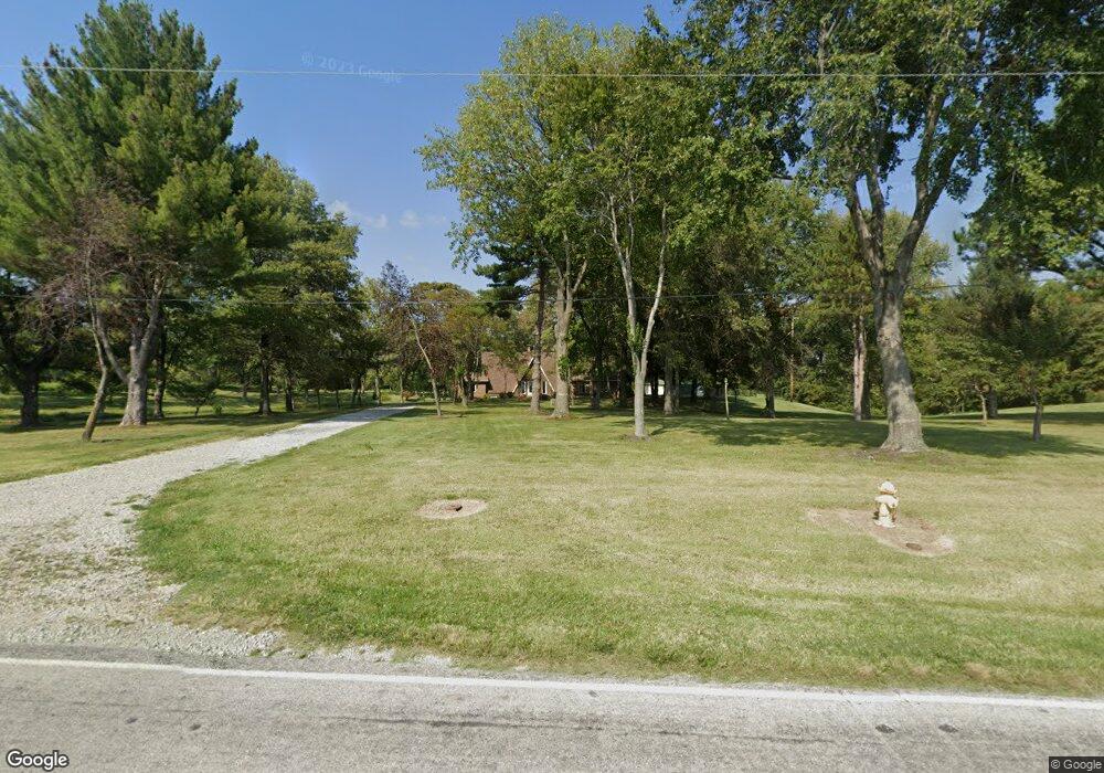
434 Bethel Rd O Fallon, IL 62269
Estimated Value: $300,000 - $598,000
--
Bed
--
Bath
1,876
Sq Ft
$230/Sq Ft
Est. Value
About This Home
This home is located at 434 Bethel Rd, O Fallon, IL 62269 and is currently estimated at $431,870, approximately $230 per square foot. 434 Bethel Rd is a home located in St. Clair County with nearby schools including Moye Elementary School, Fulton Junior High School, and O'Fallon Township High School.
Ownership History
Date
Name
Owned For
Owner Type
Purchase Details
Closed on
Jul 27, 2021
Sold by
Hocher Dana M and Davis Dana M
Bought by
Hocher Don M and Don M Hocher Trust
Current Estimated Value
Purchase Details
Closed on
Jun 23, 2016
Sold by
Hocher Carolyn J
Bought by
Hocher Carolyn J
Purchase Details
Closed on
Jan 25, 2013
Sold by
Hocher Carolyn J
Bought by
The Carolyn J Hocher Declaration Of Trus
Purchase Details
Closed on
Mar 24, 2003
Sold by
Hocher Donald L and Hocher Carolyn
Bought by
Hocher Carolyn J and The Carolyn J Hocher Trust
Create a Home Valuation Report for This Property
The Home Valuation Report is an in-depth analysis detailing your home's value as well as a comparison with similar homes in the area
Home Values in the Area
Average Home Value in this Area
Purchase History
| Date | Buyer | Sale Price | Title Company |
|---|---|---|---|
| Hocher Don M | -- | None Available | |
| Hocher Don M | -- | None Available | |
| Hocher Carolyn J | -- | Attorney | |
| The Carolyn J Hocher Declaration Of Trus | -- | None Available | |
| Hocher Carolyn J | -- | -- |
Source: Public Records
Tax History Compared to Growth
Tax History
| Year | Tax Paid | Tax Assessment Tax Assessment Total Assessment is a certain percentage of the fair market value that is determined by local assessors to be the total taxable value of land and additions on the property. | Land | Improvement |
|---|---|---|---|---|
| 2024 | $6,728 | $109,882 | $21,381 | $88,501 |
| 2023 | $6,274 | $97,622 | $19,316 | $78,306 |
| 2022 | $6,266 | $85,832 | $16,581 | $69,251 |
| 2021 | $6,076 | $81,465 | $15,737 | $65,728 |
| 2020 | $3,718 | $77,168 | $14,907 | $62,261 |
| 2019 | $3,763 | $77,168 | $14,907 | $62,261 |
| 2018 | $3,776 | $74,826 | $15,939 | $58,887 |
| 2017 | $1,921 | $71,790 | $15,292 | $56,498 |
| 2016 | $3,828 | $70,169 | $14,947 | $55,222 |
| 2014 | $3,675 | $60,337 | $5,795 | $54,542 |
| 2013 | $3,816 | $61,449 | $5,902 | $55,547 |
Source: Public Records
Map
Nearby Homes
- 1240 Pausch Rd Unit 6.65 ac
- 1240 Pausch Rd
- 1240 Pausch Rd Unit 39.72 ac
- 1204 Waldman Ct
- 1128 Pisa Dr
- 509 Longfellow Dr
- 678 Prato Ct
- 115 Cobblestone Hill
- 690 Vinci Dr
- 1909 Windcrest Dr
- 1821 Orr Ln
- 28 Woodford Way
- 1845 Riviera Ln
- 1830 Riviera Ln
- 124 Long Branch Ln
- 213 Hodgens Mill Ln
- 1551 N Parc Grove Ct
- 171 Picketts Run
- 1183 Tazewell Dr
- 326 Dewitt Ct