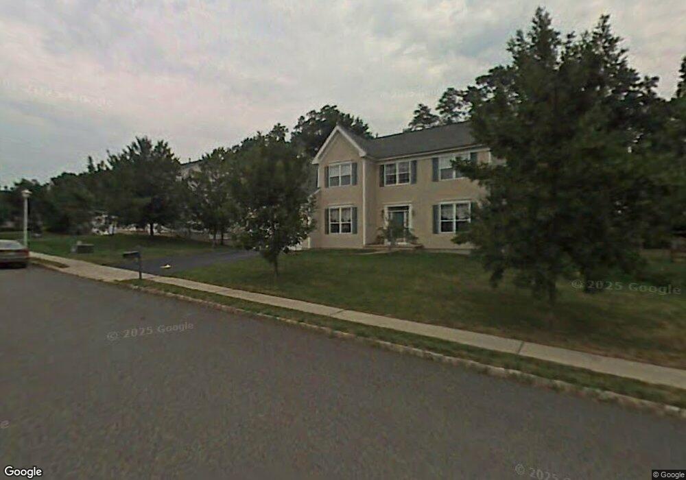
434 Boulder Dr Morganville, NJ 07751
Estimated Value: $1,024,923 - $1,247,000
4
Beds
2
Baths
3,140
Sq Ft
$348/Sq Ft
Est. Value
About This Home
This home is located at 434 Boulder Dr, Morganville, NJ 07751 and is currently estimated at $1,093,731, approximately $348 per square foot. 434 Boulder Dr is a home located in Monmouth County with nearby schools including Frank Defino Central Elementary School, Marlboro Memorial Middle School, and Marlboro High School.
Ownership History
Date
Name
Owned For
Owner Type
Purchase Details
Closed on
May 27, 1999
Sold by
Hovnanian K
Bought by
Parillo Ben and Parillo Barbara
Current Estimated Value
Home Financials for this Owner
Home Financials are based on the most recent Mortgage that was taken out on this home.
Original Mortgage
$245,000
Interest Rate
7.6%
Create a Home Valuation Report for This Property
The Home Valuation Report is an in-depth analysis detailing your home's value as well as a comparison with similar homes in the area
Home Values in the Area
Average Home Value in this Area
Purchase History
| Date | Buyer | Sale Price | Title Company |
|---|---|---|---|
| Parillo Ben | $351,020 | -- |
Source: Public Records
Mortgage History
| Date | Status | Borrower | Loan Amount |
|---|---|---|---|
| Previous Owner | Parillo Ben | $245,000 |
Source: Public Records
Tax History Compared to Growth
Tax History
| Year | Tax Paid | Tax Assessment Tax Assessment Total Assessment is a certain percentage of the fair market value that is determined by local assessors to be the total taxable value of land and additions on the property. | Land | Improvement |
|---|---|---|---|---|
| 2025 | $16,995 | $673,600 | $267,000 | $406,600 |
| 2024 | $16,261 | $673,600 | $267,000 | $406,600 |
| 2023 | $16,261 | $673,600 | $267,000 | $406,600 |
| 2022 | $15,553 | $673,600 | $267,000 | $406,600 |
| 2021 | $15,337 | $673,600 | $267,000 | $406,600 |
| 2020 | $15,574 | $673,600 | $267,000 | $406,600 |
| 2019 | $15,587 | $673,600 | $267,000 | $406,600 |
| 2018 | $15,318 | $673,600 | $267,000 | $406,600 |
| 2017 | $15,021 | $673,600 | $267,000 | $406,600 |
| 2016 | $14,961 | $673,600 | $267,000 | $406,600 |
| 2015 | $14,361 | $667,800 | $267,000 | $400,800 |
| 2014 | $13,986 | $643,600 | $267,000 | $376,600 |
Source: Public Records
Map
Nearby Homes
- 622 Randall Way
- 610 Randall Way
- 45 White Oak Ln
- 715 Wellington Place
- 9 W Aspen Way
- 702 Wellington Place Unit 2
- 702 Wellington Place Unit 2
- 704 Wellington Place
- 9 Jubilee Cir
- 293 Gloucester Ct
- 39 W Aspen Way
- 304 Wellington Place
- 315 Wellington Place
- 4 June Place
- 62 Reids Hill Rd
- 223 Perth Hill Ct Unit 223
- 225 Perth Hill Ct
- 106 van Brackle Rd
- 129 Dumbarton Hill Ct
- 108 Dundee Ct
- 432 Boulder Dr
- 108 Woodcliff Blvd
- 438 Boulder Dr
- 110 Woodcliff Blvd
- 433 Boulder Dr
- 431 Boulder Dr
- 435 Boulder Dr
- 112 Woodcliff Blvd
- 114 Woodcliff Blvd
- 437 Boulder Dr
- 440 Boulder Dr
- 370 Sterling Dr
- 116 Woodcliff Blvd
- 368 Sterling Dr
- 623 Vale Dr
- 372 Sterling Dr
- 439 Boulder Dr
- 621 Vale Dr
- 625 Vale Dr
- 118 Woodcliff Blvd