434 Davis Rd Farmington, ME 04938
Estimated Value: $184,000 - $211,624
2
Beds
1
Bath
864
Sq Ft
$234/Sq Ft
Est. Value
About This Home
This home is located at 434 Davis Rd, Farmington, ME 04938 and is currently estimated at $201,875, approximately $233 per square foot. 434 Davis Rd is a home located in Franklin County with nearby schools including Mt. Blue High School.
Ownership History
Date
Name
Owned For
Owner Type
Purchase Details
Closed on
Sep 28, 2016
Sold by
Dunham Wilfred G and Dunham Janette L
Bought by
Dunham Kenneth W and Dunham Diane L
Current Estimated Value
Home Financials for this Owner
Home Financials are based on the most recent Mortgage that was taken out on this home.
Original Mortgage
$59,500
Interest Rate
3.43%
Mortgage Type
Unknown
Create a Home Valuation Report for This Property
The Home Valuation Report is an in-depth analysis detailing your home's value as well as a comparison with similar homes in the area
Home Values in the Area
Average Home Value in this Area
Purchase History
| Date | Buyer | Sale Price | Title Company |
|---|---|---|---|
| Dunham Kenneth W | -- | -- |
Source: Public Records
Mortgage History
| Date | Status | Borrower | Loan Amount |
|---|---|---|---|
| Closed | Dunham Kenneth W | $59,500 |
Source: Public Records
Tax History Compared to Growth
Tax History
| Year | Tax Paid | Tax Assessment Tax Assessment Total Assessment is a certain percentage of the fair market value that is determined by local assessors to be the total taxable value of land and additions on the property. | Land | Improvement |
|---|---|---|---|---|
| 2024 | $1,978 | $92,200 | $23,700 | $68,500 |
| 2023 | $1,836 | $92,200 | $23,700 | $68,500 |
| 2022 | $1,660 | $92,200 | $23,700 | $68,500 |
| 2021 | $1,770 | $92,200 | $23,700 | $68,500 |
| 2020 | $1,832 | $93,000 | $24,000 | $69,000 |
| 2019 | $1,858 | $93,000 | $24,000 | $69,000 |
| 2018 | $1,820 | $93,000 | $24,000 | $69,000 |
| 2017 | $1,854 | $93,000 | $24,000 | $69,000 |
| 2016 | $1,793 | $93,000 | $24,000 | $69,000 |
| 2015 | $1,748 | $93,000 | $24,000 | $69,000 |
| 2014 | $1,597 | $92,200 | $23,700 | $68,500 |
| 2013 | $1,452 | $92,200 | $23,700 | $68,500 |
Source: Public Records
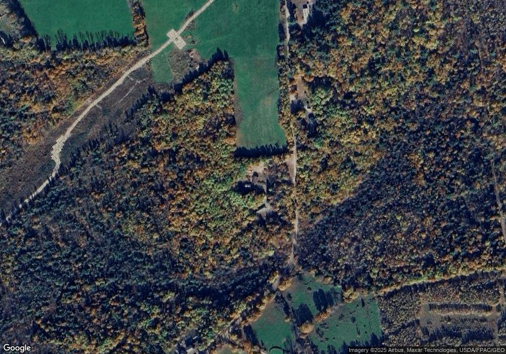
Map
Nearby Homes
- R11-033-5 Bailey Hill Rd
- R11-033-4 Bailey Hill Rd
- R11-033-3 Bailey Hill Rd
- R11-033-2 Bailey Hill Rd
- R11-033-1 Bailey Hill Rd
- R11-033 Bailey Hill Rd
- TBD Deerfield Lot #5 Ln Unit Lot 5
- TBD Deerfield Lot #6 Ln Unit Lot 6
- TBD Galilee Rd
- 112 Stone Hill Rd
- 11-31-C Stone Hill Rd
- 238 Middle St
- 630 Industry Rd
- Lot 10-9 Osborne Rd
- Lot 10-8 Osborne Rd
- Lot 10-7 Osborne Rd
- 116 Birchwood Ln
- 189 Middle St
- 121 Spruce Ln
- 175 Maple Ave
- 420 Davis Rd
- 445 Davis Rd
- 463 Davis Rd
- 382 Davis Rd
- 389 Davis Rd
- 513 Bailey Hill Rd
- 535 Bailey Hill Rd
- 467 Bailey Hill Rd
- 488 Bailey Hill Rd
- 512 Bailey Hill Rd
- 457 Bailey Hill Rd
- 484 Bailey Hill Rd
- 484 Bailey Hill Rd
- 452 Bailey Hill Rd
- 440 Bailey Hill Rd
- TBD Davis Rd
- 428 Bailey Hill Rd
- 434 Bailey Hill Rd
- 513 Davis Rd
- 430 Bailey Hill Rd