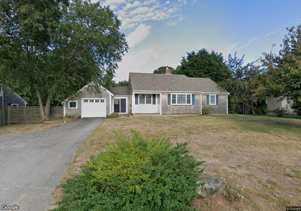
434 Depot St Dennis Port, MA 02639
Dennis Port NeighborhoodEstimated Value: $562,000 - $684,000
2
Beds
2
Baths
1,400
Sq Ft
$447/Sq Ft
Est. Value
About This Home
This home is located at 434 Depot St, Dennis Port, MA 02639 and is currently estimated at $625,732, approximately $446 per square foot. 434 Depot St is a home located in Barnstable County with nearby schools including Dennis-Yarmouth Regional High School and St. Pius X. School.
Ownership History
Date
Name
Owned For
Owner Type
Purchase Details
Closed on
Aug 20, 2025
Sold by
Freire Fernando B and Freire Ana M
Bought by
Freire Irt and Freire
Current Estimated Value
Purchase Details
Closed on
Oct 2, 2009
Sold by
Mackenzie Thomas W and Belch Cheryl A
Bought by
Freire Fernando and Freire Ana M
Home Financials for this Owner
Home Financials are based on the most recent Mortgage that was taken out on this home.
Original Mortgage
$240,000
Interest Rate
5.12%
Mortgage Type
Purchase Money Mortgage
Purchase Details
Closed on
Nov 17, 2005
Sold by
Bowser Kathleen M and Bowser Kenneth W
Bought by
Belch Cheryl A and Mackenzie Thomas W
Home Financials for this Owner
Home Financials are based on the most recent Mortgage that was taken out on this home.
Original Mortgage
$232,000
Interest Rate
6.07%
Mortgage Type
Purchase Money Mortgage
Create a Home Valuation Report for This Property
The Home Valuation Report is an in-depth analysis detailing your home's value as well as a comparison with similar homes in the area
Home Values in the Area
Average Home Value in this Area
Purchase History
| Date | Buyer | Sale Price | Title Company |
|---|---|---|---|
| Freire Irt | -- | -- | |
| Freire Fernando | $300,000 | -- | |
| Freire Fernando | $300,000 | -- | |
| Belch Cheryl A | $322,000 | -- | |
| Belch Cheryl A | $322,000 | -- |
Source: Public Records
Mortgage History
| Date | Status | Borrower | Loan Amount |
|---|---|---|---|
| Previous Owner | Freire Fernando | $240,000 | |
| Previous Owner | Belch Cheryl A | $232,000 | |
| Previous Owner | Belch Cheryl A | $115,250 |
Source: Public Records
Tax History Compared to Growth
Tax History
| Year | Tax Paid | Tax Assessment Tax Assessment Total Assessment is a certain percentage of the fair market value that is determined by local assessors to be the total taxable value of land and additions on the property. | Land | Improvement |
|---|---|---|---|---|
| 2025 | $2,763 | $638,100 | $170,500 | $467,600 |
| 2024 | $2,575 | $586,600 | $164,000 | $422,600 |
| 2023 | $2,494 | $534,000 | $149,000 | $385,000 |
| 2022 | $2,360 | $421,500 | $134,300 | $287,200 |
| 2021 | $0 | $372,000 | $131,600 | $240,400 |
| 2020 | $2,059 | $337,600 | $118,500 | $219,100 |
| 2019 | $49,637 | $307,800 | $116,100 | $191,700 |
| 2018 | $0 | $284,000 | $110,600 | $173,400 |
| 2017 | $45,696 | $278,900 | $110,600 | $168,300 |
| 2016 | $1,742 | $266,800 | $122,900 | $143,900 |
| 2015 | $1,708 | $266,800 | $122,900 | $143,900 |
| 2014 | $1,538 | $242,200 | $98,300 | $143,900 |
Source: Public Records
Map
Nearby Homes
- 11 Lane Rd
- 537 Depot St
- 91 Depot Rd W
- 24 Indian Trail
- 78 Upper County Rd Unit A&B
- 78 Upper County Rd
- 141 Division St
- 141 Division St
- 47 Telegraph Rd Unit 1
- 9 Country Ln
- 360 Center St
- 171 Searsville Rd
- 116 Searsville Rd
- 9 Bells Neck Rd Unit 10
- 20 Aunt Debbys Rd
- 12 Candlewood Ln Unit 2-9
- 10 Candlewood Ln Unit 2-1
- 45 Route 28
- 64 Smith St
- 9 Mansion St