434 E 7000 N Tetonia, ID 83452
Estimated Value: $917,000 - $1,001,784
2
Beds
2
Baths
1,321
Sq Ft
$732/Sq Ft
Est. Value
About This Home
This home is located at 434 E 7000 N, Tetonia, ID 83452 and is currently estimated at $966,595, approximately $731 per square foot. 434 E 7000 N is a home with nearby schools including Teton High School.
Ownership History
Date
Name
Owned For
Owner Type
Purchase Details
Closed on
Aug 30, 2019
Sold by
Morley Timothy P and Morley Julie A
Bought by
Morley Timothy P and Morley Julie
Current Estimated Value
Home Financials for this Owner
Home Financials are based on the most recent Mortgage that was taken out on this home.
Original Mortgage
$167,300
Interest Rate
3.1%
Mortgage Type
New Conventional
Purchase Details
Closed on
Jul 10, 2018
Sold by
Morley Timothy and Morley Julie
Bought by
Morley Timothy P and Morley Julie A
Home Financials for this Owner
Home Financials are based on the most recent Mortgage that was taken out on this home.
Original Mortgage
$165,000
Interest Rate
4.5%
Mortgage Type
New Conventional
Create a Home Valuation Report for This Property
The Home Valuation Report is an in-depth analysis detailing your home's value as well as a comparison with similar homes in the area
Purchase History
| Date | Buyer | Sale Price | Title Company |
|---|---|---|---|
| Morley Timothy P | -- | First American Title Driggs | |
| Morley Timothy P | -- | First American Title Driggs | |
| Morley Timothy | -- | First American Title Driggs |
Source: Public Records
Mortgage History
| Date | Status | Borrower | Loan Amount |
|---|---|---|---|
| Closed | Morley Timothy P | $167,300 | |
| Closed | Morley Timothy | $165,000 |
Source: Public Records
Tax History
| Year | Tax Paid | Tax Assessment Tax Assessment Total Assessment is a certain percentage of the fair market value that is determined by local assessors to be the total taxable value of land and additions on the property. | Land | Improvement |
|---|---|---|---|---|
| 2025 | $1,736 | $615,739 | $78,510 | $537,229 |
| 2024 | $1,667 | $600,840 | $63,611 | $537,229 |
| 2023 | $1,667 | $829,369 | $292,140 | $537,229 |
| 2022 | $2,446 | $682,800 | $210,990 | $471,810 |
| 2021 | $2,406 | $464,553 | $135,460 | $329,093 |
| 2020 | $2,394 | $375,761 | $98,990 | $276,771 |
| 2019 | $2,347 | $375,761 | $98,990 | $276,771 |
| 2018 | $1,285 | $223,288 | $27,412 | $195,876 |
| 2017 | $54 | $2,595 | $2,595 | $0 |
| 2016 | $60 | $2,366 | $2,366 | $0 |
Source: Public Records
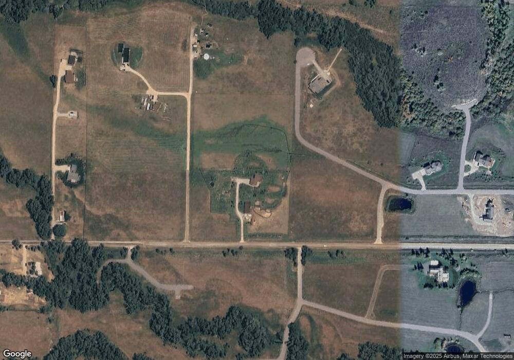
Map
Nearby Homes
- 574 Peaked Ln
- 604 Peaked Ln
- 0000 Grouse Creek Loop
- 5775 N 500 W
- 5441 Painted Pony Dr
- 2284 Apsaroke Trail
- 2617 Apsaroke Trail
- 2435 Steelhead Dr
- 5124 Rancheros Loop
- 4705 N 1000 E
- 4660 Pale Morning Dr
- 9370 Luster Ct
- 2075 Moose Path Way
- TBD W 7000 N
- 0 Moose Path Way Unit 26-184
- 2084 Moose Path Way
- 2720 E 5000 N
- 9731 Buck Town Blvd
- 4571 Surprise Valley Rd
- 9561 Mountain View Dr
- 519 Arrow Head Rd
- 519 Arrowhead Dr
- 410 Corbets Dr
- 7178 Free Ski Trail
- 526 Arrow Head Rd
- 504 Arrow Head Rd
- 504 Arrowhead Rd
- 567 Arrow Head Rd
- 7000 N Tbd Three
- 7000 N Tbd W
- 491 E 7000 N
- 0 7000 N Unit 11-439
- 0 7000 N Unit 11-435
- 0 7000 N Unit 14-1634
- 352 Corbets Dr
- 7219 Free Ski Trail
- 582 Arrow Head Rd
- 381 Corbets Dr
- 540 Rock Garden Rd
- 260 E 7000 N
Your Personal Tour Guide
Ask me questions while you tour the home.