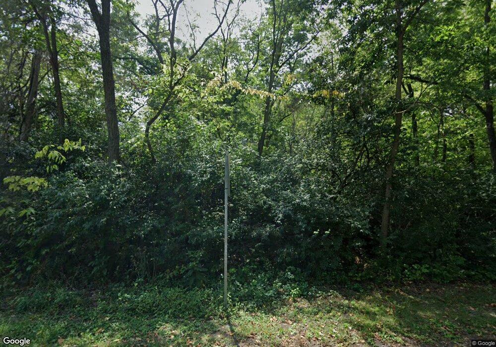
434 Frank Rd Greencastle, PA 17225
Estimated Value: $188,000 - $537,000
--
Bed
--
Bath
--
Sq Ft
34.83
Acres
About This Home
This home is located at 434 Frank Rd, Greencastle, PA 17225 and is currently estimated at $348,000. 434 Frank Rd is a home with nearby schools including Greencastle-Antrim Primary School, Greencastle-Antrim Elementary School, and Greencastle-Antrim Middle School.
Ownership History
Date
Name
Owned For
Owner Type
Purchase Details
Closed on
May 2, 2017
Sold by
Meyers Alan L and Meyers Kendra S
Bought by
Younker Wade E and Younker Amy S
Current Estimated Value
Purchase Details
Closed on
Feb 14, 2017
Sold by
Collier Duaine A and Valentine Wilbur L
Bought by
Bowers Michael C and Bowers Marisa A
Home Financials for this Owner
Home Financials are based on the most recent Mortgage that was taken out on this home.
Original Mortgage
$185,250
Interest Rate
4.2%
Mortgage Type
Purchase Money Mortgage
Create a Home Valuation Report for This Property
The Home Valuation Report is an in-depth analysis detailing your home's value as well as a comparison with similar homes in the area
Home Values in the Area
Average Home Value in this Area
Purchase History
| Date | Buyer | Sale Price | Title Company |
|---|---|---|---|
| Younker Wade E | $4,200 | None Available | |
| Bowers Michael C | $285,000 | None Available |
Source: Public Records
Mortgage History
| Date | Status | Borrower | Loan Amount |
|---|---|---|---|
| Previous Owner | Bowers Michael C | $185,250 |
Source: Public Records
Tax History Compared to Growth
Tax History
| Year | Tax Paid | Tax Assessment Tax Assessment Total Assessment is a certain percentage of the fair market value that is determined by local assessors to be the total taxable value of land and additions on the property. | Land | Improvement |
|---|---|---|---|---|
| 2025 | $7,140 | $42,680 | $5,990 | $36,690 |
| 2024 | $6,478 | $42,680 | $5,990 | $36,690 |
| 2023 | $6,059 | $40,400 | $3,710 | $36,690 |
| 2022 | $6,059 | $40,400 | $3,710 | $36,690 |
| 2021 | $5,942 | $40,400 | $3,710 | $36,690 |
| 2020 | $937 | $6,540 | $3,710 | $2,830 |
| 2019 | $916 | $6,540 | $3,710 | $2,830 |
| 2018 | $638 | $4,610 | $1,780 | $2,830 |
| 2017 | $1,043 | $7,730 | $4,900 | $2,830 |
| 2016 | $221 | $7,730 | $4,900 | $2,830 |
| 2015 | $131 | $4,900 | $4,900 | $0 |
| 2014 | $131 | $4,900 | $4,900 | $0 |
Source: Public Records
Map
Nearby Homes
- 373 Craig Rd
- 533 Hilltop Cir
- 18 Hearthside Ln
- 8182 Stone Bridge Rd
- 642 Shannon Dr S
- 30 Parkwood Dr
- 102560 Shannon Dr S
- 102550 Shannon Dr S
- 102540 Shannon Dr S
- 102535 Shannon Dr S
- 102505 Shannon Dr S
- 102530 Shannon Dr S
- 102500 Shannon Dr S
- 102510 Shannon Dr S
- 90 W Walter Ave
- Lehigh Plan at Heritage Overlook
- Powell Plan at Heritage Overlook
- Corsica Plan at Heritage Overlook
- Cumberland Plan at Heritage Overlook
- Ballenger Plan at Heritage Overlook
- 346 Frank Rd
- 377 Shinham Rd
- 629 Shinham Rd
- 277 Frank Rd
- 331 Shinham Rd
- PARCEL C Frank Rd
- 697 Shinham Rd
- 699 Shinham Rd
- 262 Shinham Rd
- 188 Frank Rd
- 110 Frank Rd
- 0 Frank Hill Rd
- 150 Shinham Rd
- 16 Frank Rd
- 128 Shinham Rd
- 8523 Molly Pitcher Hwy
- 0 Frank Rd Unit 1001027099
- 851 Shinham Rd
- 8335 Molly Pitcher Hwy
- 8841 Larry Dr
