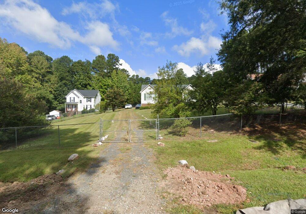
434 Gus Rd Durham, NC 27703
Eastern Durham NeighborhoodEstimated Value: $289,192 - $338,000
3
Beds
2
Baths
1,092
Sq Ft
$285/Sq Ft
Est. Value
About This Home
This home is located at 434 Gus Rd, Durham, NC 27703 and is currently estimated at $310,798, approximately $284 per square foot. 434 Gus Rd is a home located in Durham County with nearby schools including Oak Grove Elementary, John W Neal Middle School, and Southern School of Energy & Sustainability.
Ownership History
Date
Name
Owned For
Owner Type
Purchase Details
Closed on
Jun 2, 1998
Sold by
Mclaughlin Alfred B and Mclaughlin Juanita H
Bought by
Brown Winsome M
Current Estimated Value
Home Financials for this Owner
Home Financials are based on the most recent Mortgage that was taken out on this home.
Original Mortgage
$105,300
Outstanding Balance
$27,505
Interest Rate
10.5%
Estimated Equity
$283,293
Create a Home Valuation Report for This Property
The Home Valuation Report is an in-depth analysis detailing your home's value as well as a comparison with similar homes in the area
Home Values in the Area
Average Home Value in this Area
Purchase History
| Date | Buyer | Sale Price | Title Company |
|---|---|---|---|
| Brown Winsome M | $44,500 | -- |
Source: Public Records
Mortgage History
| Date | Status | Borrower | Loan Amount |
|---|---|---|---|
| Open | Brown Winsome M | $105,300 |
Source: Public Records
Tax History
| Year | Tax Paid | Tax Assessment Tax Assessment Total Assessment is a certain percentage of the fair market value that is determined by local assessors to be the total taxable value of land and additions on the property. | Land | Improvement |
|---|---|---|---|---|
| 2025 | $2,015 | $272,720 | $105,850 | $166,870 |
| 2024 | $1,571 | $142,263 | $36,375 | $105,888 |
| 2023 | $1,510 | $142,263 | $36,375 | $105,888 |
| 2022 | $1,461 | $142,263 | $36,375 | $105,888 |
| 2021 | $1,248 | $142,263 | $36,375 | $105,888 |
| 2020 | $1,219 | $142,263 | $36,375 | $105,888 |
| 2019 | $1,205 | $142,263 | $36,375 | $105,888 |
| 2018 | $1,077 | $116,642 | $25,462 | $91,180 |
| 2017 | $1,042 | $116,642 | $25,462 | $91,180 |
| 2016 | $1,010 | $116,642 | $25,462 | $91,180 |
| 2015 | $1,258 | $121,227 | $24,952 | $96,275 |
| 2014 | $1,264 | $121,227 | $24,952 | $96,275 |
Source: Public Records
Map
Nearby Homes
- 442 Gus Rd
- 517 Keith St
- 528 Plumleaf Ln
- 17 Plumleaf Ln
- 13 Blackthorn Ln
- 1112 Blackthorn Ln
- 601 Crossing Dr
- 807 Outlaw Ave
- 1114 Blackthorn Ln
- 2800-2809 Napoli Dr
- 208 Lick Creek Ln
- 819 Ember Dr
- 615 Southshore Pkwy
- 621 Wellwater Ave
- 2208 Gilman St
- 5002 Wake Forest Hwy
- 428 Holly Blossom Dr
- 108 Putters Ct
- 6 Spicewood Ct
- 607 Ravenstone Ln
Your Personal Tour Guide
Ask me questions while you tour the home.