
Seller's Agent in 2025
Natosha Friend
Jackson Realty
(304) 481-0125
34 Total Sales


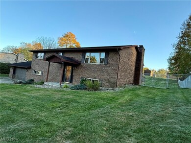

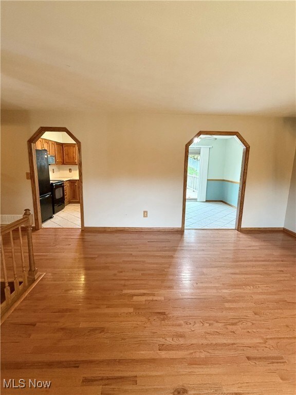
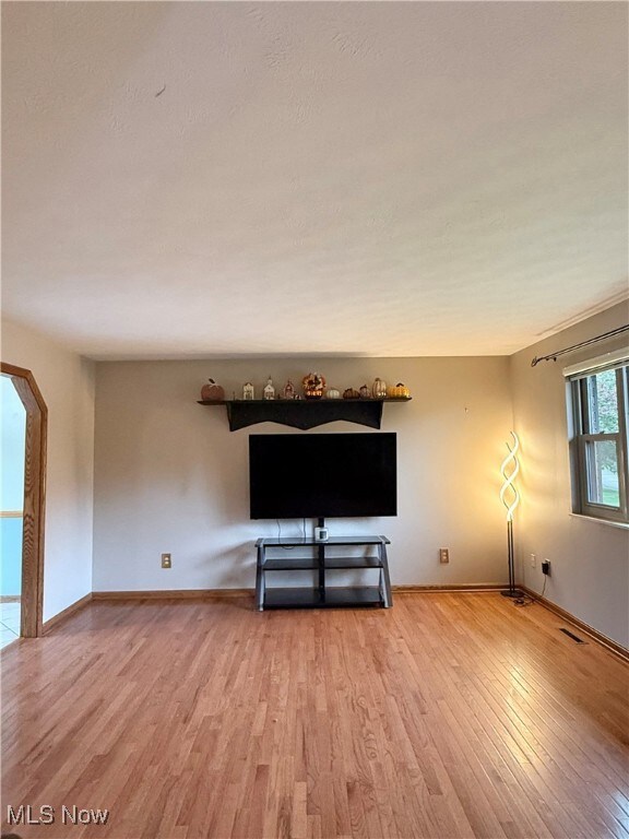
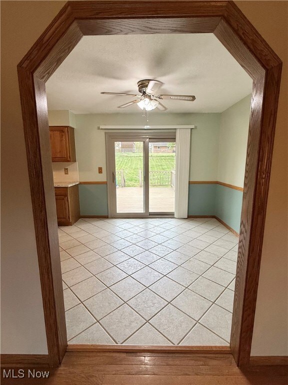
Welcome to this spacious, well-maintained brick home on a dead-end street. It features three bedrooms, three full baths, hardwood floors, and an eat-in kitchen that opens to a 16x20 composite deck. The finished basement offers a large family room with a cozy fireplace, ample storage, and a walkout to the two-car garage. Enjoy the large fenced backyard, perfect for entertaining or relaxing outdoors.
Last Agent to Sell the Property
Jackson Realty Brokerage Email: friend_natosha@yahoo.com, 304-481-0125 License #24170 Listed on: 10/29/2025
| Date | Type | Sale Price | Title Company |
|---|---|---|---|
| Warranty Deed | $239,000 | None Listed On Document | |
| Interfamily Deed Transfer | -- | None Available |
| Date | Status | Loan Amount | Loan Type |
|---|---|---|---|
| Open | $191,200 | New Conventional |
| Date | Event | Price | List to Sale | Price per Sq Ft |
|---|---|---|---|---|
| 12/12/2025 12/12/25 | Sold | $255,575 | -7.1% | -- |
| 10/29/2025 10/29/25 | For Sale | $275,000 | -- | -- |
| Year | Tax Paid | Tax Assessment Tax Assessment Total Assessment is a certain percentage of the fair market value that is determined by local assessors to be the total taxable value of land and additions on the property. | Land | Improvement |
|---|---|---|---|---|
| 2025 | $1,638 | $138,060 | $21,960 | $116,100 |
| 2024 | $1,638 | $122,580 | $21,300 | $101,280 |
| 2023 | $1,458 | $115,140 | $19,980 | $95,160 |
| 2022 | $1,243 | $112,560 | $18,660 | $93,900 |
| 2021 | $1,209 | $108,960 | $18,660 | $90,300 |
| 2020 | $1,171 | $105,180 | $17,340 | $87,840 |
| 2019 | $1,195 | $103,920 | $17,340 | $86,580 |
| 2018 | $1,213 | $102,540 | $17,340 | $85,200 |
| 2017 | $1,193 | $100,260 | $17,340 | $82,920 |
| 2016 | $1,085 | $98,340 | $17,340 | $81,000 |
| 2015 | $1,066 | $96,540 | $16,680 | $79,860 |
| 2014 | $991 | $89,700 | $14,640 | $75,060 |
Seller's Agent in 2025
Natosha Friend
Jackson Realty
(304) 481-0125
34 Total Sales
Buyer's Agent in 2025
Traci Fickiesen
Century 21 Full Service, LLC.
(740) 374-4222
182 Total Sales
Source: MLS Now
MLS Number: 5168432
APN: 09-61-01130000
Disclaimer: Certain information contained herein is derived from information provided by parties other than Homes.com. All information provided is deemed reliable, but is not guaranteed to be accurate and should be independently verified.
![]() IDX information is provided exclusively for personal, non-commercial use, and may not be used for any purpose other than to identify prospective properties consumers may be interested in purchasing. Information is deemed reliable but not guaranteed.
IDX information is provided exclusively for personal, non-commercial use, and may not be used for any purpose other than to identify prospective properties consumers may be interested in purchasing. Information is deemed reliable but not guaranteed.
Ask me questions while you tour the home.