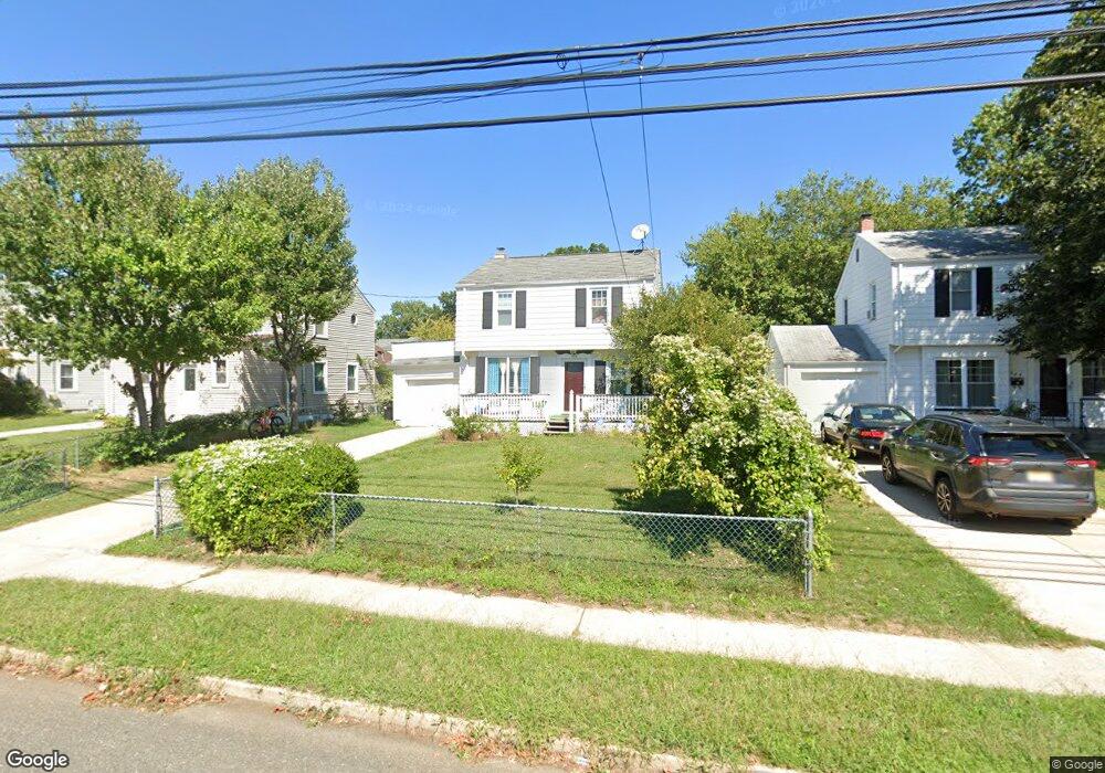
434 Massachusetts Ave Trenton, NJ 08629
Estimated Value: $289,000 - $413,000
3
Beds
2
Baths
1,304
Sq Ft
$257/Sq Ft
Est. Value
About This Home
This home is located at 434 Massachusetts Ave, Trenton, NJ 08629 and is currently estimated at $335,145, approximately $257 per square foot. 434 Massachusetts Ave is a home located in Mercer County with nearby schools including Kuser Elementary School, Emily C. Reynolds Middle School, and Steinert - Hamilton High East.
Ownership History
Date
Name
Owned For
Owner Type
Purchase Details
Closed on
Jul 21, 2009
Sold by
Adams Andrew H and Adams Jean A
Bought by
Hogue Mohammed A and Naher Samson
Current Estimated Value
Home Financials for this Owner
Home Financials are based on the most recent Mortgage that was taken out on this home.
Original Mortgage
$140,109
Outstanding Balance
$91,676
Interest Rate
5.36%
Mortgage Type
FHA
Estimated Equity
$243,469
Create a Home Valuation Report for This Property
The Home Valuation Report is an in-depth analysis detailing your home's value as well as a comparison with similar homes in the area
Home Values in the Area
Average Home Value in this Area
Purchase History
| Date | Buyer | Sale Price | Title Company |
|---|---|---|---|
| Hogue Mohammed A | $153,000 | Allstates Title Services Inc |
Source: Public Records
Mortgage History
| Date | Status | Borrower | Loan Amount |
|---|---|---|---|
| Open | Hogue Mohammed A | $140,109 |
Source: Public Records
Tax History Compared to Growth
Tax History
| Year | Tax Paid | Tax Assessment Tax Assessment Total Assessment is a certain percentage of the fair market value that is determined by local assessors to be the total taxable value of land and additions on the property. | Land | Improvement |
|---|---|---|---|---|
| 2025 | $4,764 | $135,200 | $25,700 | $109,500 |
| 2024 | $4,466 | $135,200 | $25,700 | $109,500 |
| 2023 | $4,466 | $135,200 | $25,700 | $109,500 |
| 2022 | $4,395 | $135,200 | $25,700 | $109,500 |
| 2021 | $5,196 | $135,200 | $25,700 | $109,500 |
| 2020 | $4,709 | $135,200 | $25,700 | $109,500 |
| 2019 | $4,590 | $135,200 | $25,700 | $109,500 |
| 2018 | $4,472 | $135,200 | $25,700 | $109,500 |
| 2017 | $4,356 | $135,200 | $25,700 | $109,500 |
| 2016 | $3,732 | $138,000 | $28,500 | $109,500 |
| 2015 | $5,412 | $107,400 | $21,000 | $86,400 |
| 2014 | $5,307 | $107,400 | $21,000 | $86,400 |
Source: Public Records
Map
Nearby Homes
- 1524 Elizabeth Ave
- 618 Atlantic Ave
- 480 S Logan Ave
- 448 Lynwood Ave
- 235 Darcy Ave
- 365 Cleveland Ave
- 1427 Hamilton Ave
- 224 Garfield Ave
- 20 Charlotte Ave
- 151 S Logan Ave
- 254 S Olden Ave
- 194 Atlantic Ave
- 19 Scammel Ave
- 116 Cleveland Ave
- 51 Charlotte Ave
- 238 S Walter Ave
- 263 S Walter Ave
- 1110 Hamilton Ave
- 43 1/2 S Logan Ave
- 631 S Olden Ave
- 428 Massachusetts Ave
- 440 Massachusetts Ave
- 422 Massachusetts Ave
- 429 Atlantic Ave
- 435 Atlantic Ave
- 446 Massachusetts Ave
- 423 Atlantic Ave
- 441 Atlantic Ave
- 416 Massachusetts Ave
- 417 Atlantic Ave
- 447 Atlantic Ave
- 411 Atlantic Ave
- 410 Massachusetts Ave
- 73 Quincy Ave
- 65 Quincy Ave
- 59 Quincy Ave
- 405 Atlantic Ave
- 428 Atlantic Ave
- 434 Atlantic Ave
- 422 Atlantic Ave