Estimated Value: $239,000 - $399,914
3
Beds
2
Baths
2,095
Sq Ft
$156/Sq Ft
Est. Value
About This Home
This home is located at 434 Millbranch Rd, Alma, GA 31510 and is currently estimated at $327,638, approximately $156 per square foot. 434 Millbranch Rd is a home located in Pierce County with nearby schools including Pierce County High School.
Ownership History
Date
Name
Owned For
Owner Type
Purchase Details
Closed on
Dec 10, 2018
Sold by
Johnson Jeannie Lynn
Bought by
Mattox Charles Andrew
Current Estimated Value
Purchase Details
Closed on
Apr 3, 2013
Sold by
Mattox Lawton Eugene
Bought by
Mattox Charles Andrew and Johnson Jeannie Lynn
Purchase Details
Closed on
Feb 21, 1975
Sold by
Mattox Lawton M
Bought by
Mattox Lawton E
Purchase Details
Closed on
Feb 3, 1970
Sold by
Mattox Lawton M
Bought by
Mattox Lawton Eugene
Create a Home Valuation Report for This Property
The Home Valuation Report is an in-depth analysis detailing your home's value as well as a comparison with similar homes in the area
Home Values in the Area
Average Home Value in this Area
Purchase History
| Date | Buyer | Sale Price | Title Company |
|---|---|---|---|
| Mattox Charles Andrew | -- | -- | |
| Mattox Charles Andrew | -- | -- | |
| Mattox Lawton E | -- | -- | |
| Mattox Lawton Eugene | -- | -- |
Source: Public Records
Tax History Compared to Growth
Tax History
| Year | Tax Paid | Tax Assessment Tax Assessment Total Assessment is a certain percentage of the fair market value that is determined by local assessors to be the total taxable value of land and additions on the property. | Land | Improvement |
|---|---|---|---|---|
| 2025 | $2,016 | $115,738 | $29,906 | $85,832 |
| 2024 | $2,016 | $113,458 | $29,906 | $83,552 |
| 2023 | $1,954 | $111,122 | $29,906 | $81,216 |
| 2022 | $1,819 | $79,436 | $17,358 | $62,078 |
| 2021 | $1,720 | $77,135 | $17,358 | $59,777 |
| 2020 | $1,682 | $74,834 | $17,358 | $57,476 |
| 2019 | $1,694 | $70,712 | $13,236 | $57,476 |
| 2018 | $2,000 | $73,966 | $18,792 | $55,174 |
| 2017 | $1,986 | $72,310 | $18,792 | $53,518 |
| 2016 | $1,971 | $72,310 | $18,792 | $53,518 |
| 2015 | $1,502 | $72,310 | $18,792 | $53,518 |
| 2014 | $1,502 | $72,310 | $18,792 | $53,518 |
| 2013 | $1,502 | $72,310 | $18,792 | $53,517 |
Source: Public Records
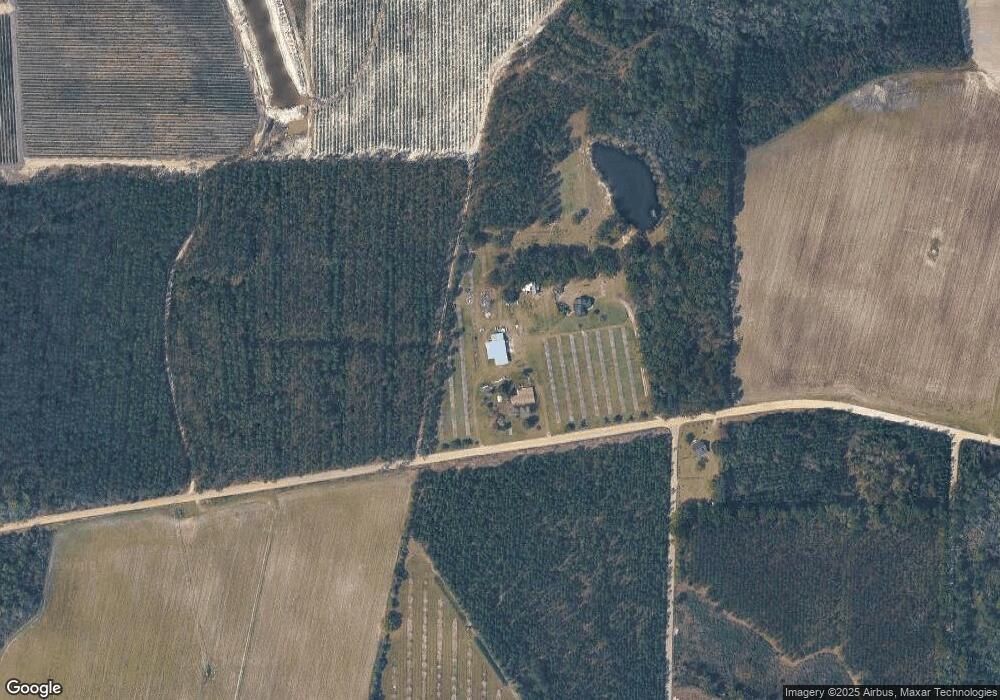
Map
Nearby Homes
- 2441 US Hwy 1 S
- 3750 Little Hurricane Creek Rd
- 0 Miller Hayes Rd Unit 147574
- 0 Miller Hayes Rd Unit 10127213
- 3190 Radio Station Rd
- 000 S US Hwy 1
- 4431 Big House Rd
- 1821 Kellers Rd
- TBD Cartertown Rd
- TBD Cartertown Rd
- 4095 Otis Ln
- 729 Satilla Trail
- 1335 Clifford Loop
- 0 Jamestown Rd Unit 25595234
- 0 Jamestown Rd Unit 25595235
- 0 Jamestown Rd Unit 10575588
- 0 Jamestown Rd Unit 1655675
- 0 Jamestown Rd Unit 25323571
- 5790 Wooddell Dr
- 1348 U S 1
- 452 Millbranch Rd
- 471 Millbranch Rd
- 2880 Stovall Rd
- 2917 Stovall Rd
- 2967 Stovall Rd
- 2948 Sweat Rd
- 2843 Beulah Church Rd
- 0 Sweat Rd
- 194 Millbranch Rd
- 2751 Beulah Church Rd
- 3061 Sweat Rd
- 3291 Parohde Ln
- 114 Millbranch Rd
- 526 Crystal Rd
- 3018 Beulah Church Rd
- 3040 Beulah Church Rd
- 2622 H and A Ln
- 3097 Sweat Rd
- 575 Crystal Rd
- 2584 H and A Ln