434 N Eades Rd Carlton, GA 30627
Estimated Value: $212,000 - $480,238
--
Bed
1
Bath
2,196
Sq Ft
$175/Sq Ft
Est. Value
About This Home
This home is located at 434 N Eades Rd, Carlton, GA 30627 and is currently estimated at $384,746, approximately $175 per square foot. 434 N Eades Rd is a home located in Oglethorpe County with nearby schools including Oglethorpe County Primary School, Oglethorpe County Elementary School, and Oglethorpe County Middle School.
Ownership History
Date
Name
Owned For
Owner Type
Purchase Details
Closed on
May 26, 2023
Sold by
Womack Anna Gunter
Bought by
Womack Anna Gunter and Womack Roger Glenn
Current Estimated Value
Home Financials for this Owner
Home Financials are based on the most recent Mortgage that was taken out on this home.
Original Mortgage
$333,000
Outstanding Balance
$324,160
Interest Rate
6.43%
Mortgage Type
New Conventional
Estimated Equity
$60,586
Purchase Details
Closed on
Nov 3, 2014
Sold by
Gunter Glenn
Bought by
Gunter Anna Marie
Purchase Details
Closed on
Oct 14, 2004
Sold by
Gunter W S
Bought by
Gunter Glenn
Purchase Details
Closed on
Apr 15, 2004
Sold by
Gunter W S
Bought by
Gunter Glenn
Create a Home Valuation Report for This Property
The Home Valuation Report is an in-depth analysis detailing your home's value as well as a comparison with similar homes in the area
Home Values in the Area
Average Home Value in this Area
Purchase History
| Date | Buyer | Sale Price | Title Company |
|---|---|---|---|
| Womack Anna Gunter | -- | -- | |
| Gunter Anna Marie | -- | -- | |
| Gunter Glenn | -- | -- | |
| Gunter Glenn | -- | -- |
Source: Public Records
Mortgage History
| Date | Status | Borrower | Loan Amount |
|---|---|---|---|
| Open | Womack Anna Gunter | $333,000 |
Source: Public Records
Tax History Compared to Growth
Tax History
| Year | Tax Paid | Tax Assessment Tax Assessment Total Assessment is a certain percentage of the fair market value that is determined by local assessors to be the total taxable value of land and additions on the property. | Land | Improvement |
|---|---|---|---|---|
| 2024 | $3,500 | $160,480 | $20,600 | $139,880 |
| 2023 | $182 | $20,600 | $20,600 | $0 |
| 2022 | $176 | $20,600 | $20,600 | $0 |
| 2021 | $191 | $20,000 | $20,000 | $0 |
| 2020 | $142 | $20,000 | $20,000 | $0 |
| 2019 | $183 | $20,000 | $20,000 | $0 |
| 2018 | $484 | $16,044 | $16,044 | $0 |
| 2017 | $429 | $23,618 | $16,044 | $7,574 |
| 2016 | $385 | $23,618 | $16,044 | $7,574 |
| 2015 | -- | $23,618 | $16,044 | $7,574 |
| 2014 | -- | $23,618 | $16,044 | $7,574 |
| 2013 | -- | $23,617 | $16,044 | $7,573 |
Source: Public Records
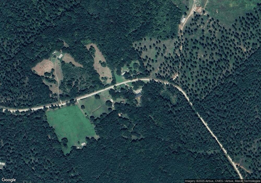
Map
Nearby Homes
- 0 Berkley Rd Unit 10545423
- 0 Broad River Rd Unit 10650042
- 10 Cedar Creek Rd
- 14 Cedar Creek Rd
- 11 Cedar Creek Rd
- 6476 Georgia 72
- 6367 Highway 72 E
- 9 Cedar Creek Rd
- 376 Paoli Rd
- 626 Ruffs Rd
- 667 Paoli Rd
- 1163 Nickville Rd
- 6 Cedar Creek
- 417 Millstone Church Rd
- 670 S Railroad Ave
- 0 Athens Hwy Unit 10627639
- 0 Highway 72 E Unit 10545483
- Rocky Dr
- 00 River Rd
- 724 Bertha Willis Rd