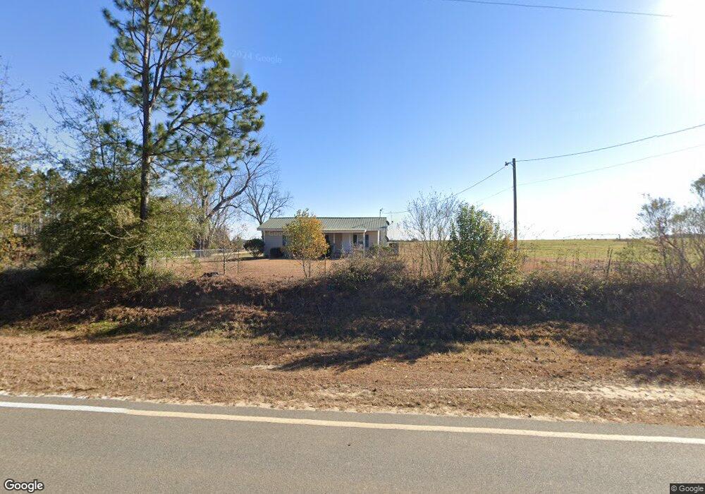
434 Poulan Shingler Rd Poulan, GA 31781
Estimated Value: $119,000 - $802,680
2
Beds
2
Baths
1,200
Sq Ft
$292/Sq Ft
Est. Value
About This Home
This home is located at 434 Poulan Shingler Rd, Poulan, GA 31781 and is currently estimated at $350,560, approximately $292 per square foot. 434 Poulan Shingler Rd is a home with nearby schools including Worth County Primary School, Worth County Elementary School, and Worth County Middle School.
Ownership History
Date
Name
Owned For
Owner Type
Purchase Details
Closed on
Dec 29, 2011
Sold by
Wishum Paula Powell and Powell Walter W
Bought by
Wishum Paula Powell
Current Estimated Value
Purchase Details
Closed on
Jul 28, 2009
Sold by
Brown Powell Walter W and Brown Powell Marion
Bought by
Brown Powell Walter W and Brown Powell Marion
Create a Home Valuation Report for This Property
The Home Valuation Report is an in-depth analysis detailing your home's value as well as a comparison with similar homes in the area
Home Values in the Area
Average Home Value in this Area
Purchase History
| Date | Buyer | Sale Price | Title Company |
|---|---|---|---|
| Wishum Paula Powell | -- | -- | |
| Wishum Paula Powell | -- | -- | |
| Brown Powell Walter W | -- | -- |
Source: Public Records
Tax History Compared to Growth
Tax History
| Year | Tax Paid | Tax Assessment Tax Assessment Total Assessment is a certain percentage of the fair market value that is determined by local assessors to be the total taxable value of land and additions on the property. | Land | Improvement |
|---|---|---|---|---|
| 2024 | $2,675 | $191,652 | $173,206 | $18,446 |
| 2023 | $2,675 | $195,777 | $173,206 | $22,571 |
| 2022 | $2,718 | $195,777 | $173,206 | $22,571 |
| 2021 | $2,635 | $195,777 | $173,206 | $22,571 |
| 2020 | $2,603 | $195,777 | $173,206 | $22,571 |
| 2019 | $2,569 | $195,777 | $173,206 | $22,571 |
| 2018 | $5,573 | $194,497 | $171,926 | $22,571 |
| 2017 | $5,573 | $194,497 | $171,926 | $22,571 |
| 2016 | $1,700 | $194,497 | $171,926 | $22,571 |
| 2015 | $1,670 | $193,168 | $170,597 | $22,571 |
| 2014 | $1,638 | $193,168 | $172,757 | $20,411 |
| 2013 | -- | $176,794 | $156,383 | $20,411 |
| 2012 | -- | $176,794 | $156,383 | $20,411 |
Source: Public Records
Map
Nearby Homes
- 196 Griffin Houston Rd
- 107 Dunbar Cir
- 103 Dunbar Cir
- 185 Hudson Rd
- 106 Rosewood Dr
- 104 Lynn Cir
- 117 Donna Dr
- 112 Creekwood Cir
- 565 Sands Dr Unit 8
- 565 Sands Dr
- 0 Sands Dr
- 376 West Rd
- 0 Multiple Lots Unit 138826
- 0 P T Salter Rd Unit 138997
- 202A E Welch St
- 0 Ga Hwy 82 Unit 913408
- 402 N McPhaul St
- 100 Carriage Ln
- 203 E Pinson St
- 000 Georgia 256
- 429 Poulan Shingler Rd
- 439 Poulan Shingler Rd
- 441 Poulan Shingler Rd
- 443 Poulan Shingler Rd
- 449 Poulan Shingler Rd
- 908 Ephesus Church Rd
- 890 Ephesus Church Rd
- 848 Ephesus Church Rd
- 603 Poulan Shingler Rd
- 984 Ephesus Church Rd
- N McGirt
- 2010 P T Salter Rd
- 267 Poulan Shingler Rd
- 662 Poulan Shingler Rd
- 208 Milling Rd
- 135 Mary Ln
- 294 Griffin Houston Rd
- 400 Griffin Houston Rd
- 304 Griffin Houston Rd
- 1044 Ephesus Church Rd