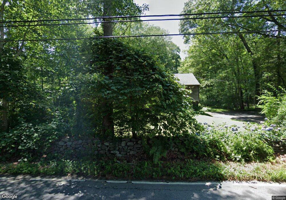
434 Route 148 Killingworth, CT 06419
Estimated Value: $375,873 - $424,000
3
Beds
2
Baths
1,132
Sq Ft
$357/Sq Ft
Est. Value
About This Home
This home is located at 434 Route 148, Killingworth, CT 06419 and is currently estimated at $404,218, approximately $357 per square foot. 434 Route 148 is a home located in Middlesex County with nearby schools including Haddam-Killingworth High School and Haddam-Killingworth Intermediate School.
Ownership History
Date
Name
Owned For
Owner Type
Purchase Details
Closed on
Oct 30, 2002
Sold by
Oberdorff Vernon E and Oberdorff Diane S
Bought by
Slocombe Heather
Current Estimated Value
Home Financials for this Owner
Home Financials are based on the most recent Mortgage that was taken out on this home.
Original Mortgage
$116,000
Outstanding Balance
$48,837
Interest Rate
6.09%
Estimated Equity
$355,381
Create a Home Valuation Report for This Property
The Home Valuation Report is an in-depth analysis detailing your home's value as well as a comparison with similar homes in the area
Home Values in the Area
Average Home Value in this Area
Purchase History
| Date | Buyer | Sale Price | Title Company |
|---|---|---|---|
| Slocombe Heather | $216,000 | -- |
Source: Public Records
Mortgage History
| Date | Status | Borrower | Loan Amount |
|---|---|---|---|
| Closed | Slocombe Heather | $42,510 | |
| Open | Slocombe Heather | $116,000 | |
| Previous Owner | Slocombe Heather | $44,000 |
Source: Public Records
Tax History Compared to Growth
Tax History
| Year | Tax Paid | Tax Assessment Tax Assessment Total Assessment is a certain percentage of the fair market value that is determined by local assessors to be the total taxable value of land and additions on the property. | Land | Improvement |
|---|---|---|---|---|
| 2025 | $4,177 | $159,320 | $59,850 | $99,470 |
| 2024 | $3,859 | $159,320 | $59,850 | $99,470 |
| 2023 | $3,739 | $159,320 | $59,850 | $99,470 |
| 2022 | $3,699 | $159,320 | $59,850 | $99,470 |
| 2021 | $4,076 | $152,550 | $63,000 | $89,550 |
| 2020 | $4,076 | $152,550 | $63,000 | $89,550 |
| 2019 | $4,191 | $152,550 | $63,000 | $89,550 |
| 2018 | $4,191 | $152,550 | $63,000 | $89,550 |
| 2017 | $4,191 | $152,550 | $63,000 | $89,550 |
| 2016 | $4,459 | $172,230 | $97,650 | $74,580 |
| 2015 | $4,345 | $172,230 | $97,650 | $74,580 |
| 2014 | $4,225 | $172,230 | $97,650 | $74,580 |
Source: Public Records
Map
Nearby Homes
- 275 Route 148
- 590 Route 148
- 593 Route 148
- 193 Emanuel Church Rd
- 10 & 12 Firetower Rd
- 24 Boulder Trail
- 511 Route 81
- 29 Bridlepath Trail
- 6 Country Club Trail
- 8 Livemore Trail
- 14 Kenilworth Dr
- 13 Cranberry Meadow Ln
- 33 Whitewood Rd
- 115 Hemlock Dr
- 3 Woodland Trail
- 30 Chestnut Hill Rd
- 1543 Durham Rd
- 640 Route 81
- 464 Roast Meat Hill Rd
- 17 Eagle Meadow Rd