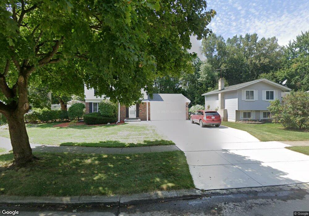
434 Surrey Heights Westland, MI 48186
Estimated Value: $276,806 - $318,000
4
Beds
2
Baths
1,620
Sq Ft
$184/Sq Ft
Est. Value
About This Home
This home is located at 434 Surrey Heights, Westland, MI 48186 and is currently estimated at $298,202, approximately $184 per square foot. 434 Surrey Heights is a home located in Wayne County with nearby schools including P.D. Graham Elementary School, Marshall Upper Elementary School, and Adlai Stevenson Middle School.
Ownership History
Date
Name
Owned For
Owner Type
Purchase Details
Closed on
Apr 28, 2020
Sold by
Maxwell Gary P
Bought by
Maxwell Gary P and Gary P Maxwell Revocable Trust
Current Estimated Value
Purchase Details
Closed on
Jul 11, 1994
Sold by
Brian H Gladwish Est
Bought by
Maxwell Gary P and Maxwell Debra C
Home Financials for this Owner
Home Financials are based on the most recent Mortgage that was taken out on this home.
Original Mortgage
$90,000
Interest Rate
5%
Mortgage Type
New Conventional
Create a Home Valuation Report for This Property
The Home Valuation Report is an in-depth analysis detailing your home's value as well as a comparison with similar homes in the area
Home Values in the Area
Average Home Value in this Area
Purchase History
| Date | Buyer | Sale Price | Title Company |
|---|---|---|---|
| Maxwell Gary P | -- | None Available | |
| Maxwell Gary P | -- | None Available | |
| Maxwell Gary P | $103,700 | -- |
Source: Public Records
Mortgage History
| Date | Status | Borrower | Loan Amount |
|---|---|---|---|
| Closed | Maxwell Gary P | $90,000 |
Source: Public Records
Tax History Compared to Growth
Tax History
| Year | Tax Paid | Tax Assessment Tax Assessment Total Assessment is a certain percentage of the fair market value that is determined by local assessors to be the total taxable value of land and additions on the property. | Land | Improvement |
|---|---|---|---|---|
| 2025 | $2,953 | $135,800 | $0 | $0 |
| 2024 | $2,953 | $124,400 | $0 | $0 |
| 2023 | $2,820 | $113,000 | $0 | $0 |
| 2022 | $3,313 | $99,900 | $0 | $0 |
| 2021 | $3,235 | $96,100 | $0 | $0 |
| 2020 | $3,196 | $90,300 | $0 | $0 |
| 2019 | $3,073 | $88,800 | $0 | $0 |
| 2018 | $2,320 | $77,000 | $0 | $0 |
| 2017 | $1,148 | $74,200 | $0 | $0 |
| 2016 | $2,977 | $71,200 | $0 | $0 |
| 2015 | $5,726 | $59,960 | $0 | $0 |
| 2013 | $5,547 | $57,960 | $0 | $0 |
| 2012 | $2,759 | $58,960 | $0 | $0 |
Source: Public Records
Map
Nearby Homes
- 39615 Kirkland Dr
- 39214 Dillingham St
- 151 Dawson Ct
- 585 S John Hix St
- 39400 Cherry Hill Rd
- 39250 Northampton St
- 39605 Dorchester Cir
- 127 S John Hix St
- 632 Georgetown St
- 285 Brookfield Dr Unit 25
- 157 Carson Dr Unit 175
- 38386 Maes St
- 00000 Avondale St
- 571 Summerfield Dr Unit 196
- 39194 Brookfield Dr Unit 182
- 336 Marigold Cir Unit 45
- 0 Cherry Hill Unit 16924
- 170 Cherry Hill Pointe Dr
- 673 Ethan Dr
- 714 Autumn Ridge Dr Unit 64
- 412 Surrey Heights
- 440 Surrey Heights
- 400 Surrey Heights
- 454 Surrey Heights
- 388 Surrey Heights
- 425 Surrey Heights
- 413 Surrey Heights
- 39355 Gloucester St
- 399 Surrey Heights
- 376 Surrey Heights
- 39335 Gloucester St
- 493 Buckingham Rd
- 505 Buckingham Rd
- 481 Buckingham Rd
- 0 Gloucester St
- 39320 Gloucester St
- 377 Surrey Heights
- 517 Buckingham Rd
- 39341 Surrey Crt
- 39388 Dillingham St