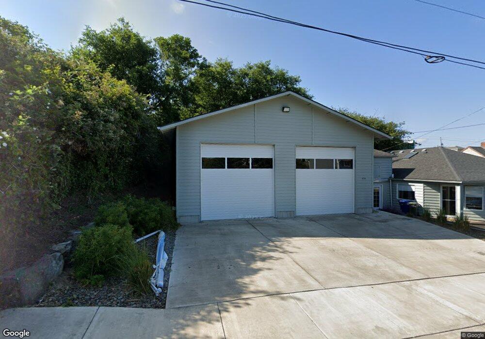
434 SW 10th St Newport, OR 97365
Estimated Value: $551,000
1
Bed
1
Bath
698
Sq Ft
$789/Sq Ft
Est. Value
About This Home
This home is located at 434 SW 10th St, Newport, OR 97365 and is currently priced at $551,000, approximately $789 per square foot. 434 SW 10th St is a home located in Lincoln County with nearby schools including Yaquina View Elementary School, Sam Case Elementary School, and Newport High School.
Ownership History
Date
Name
Owned For
Owner Type
Purchase Details
Closed on
Nov 21, 2013
Sold by
Anderson Timothy and Anderson Norma
Bought by
Newport Pacific Corporation
Current Estimated Value
Purchase Details
Closed on
Mar 26, 2007
Sold by
Gore J Malcolm
Bought by
Anderson Timothy and Anderson Norma
Home Financials for this Owner
Home Financials are based on the most recent Mortgage that was taken out on this home.
Original Mortgage
$28,000
Interest Rate
6.31%
Mortgage Type
Seller Take Back
Create a Home Valuation Report for This Property
The Home Valuation Report is an in-depth analysis detailing your home's value as well as a comparison with similar homes in the area
Home Values in the Area
Average Home Value in this Area
Purchase History
| Date | Buyer | Sale Price | Title Company |
|---|---|---|---|
| Newport Pacific Corporation | $300,000 | First American Title Ins Co | |
| Anderson Timothy | $60,000 | Wte |
Source: Public Records
Mortgage History
| Date | Status | Borrower | Loan Amount |
|---|---|---|---|
| Previous Owner | Anderson Timothy | $28,000 |
Source: Public Records
Tax History Compared to Growth
Tax History
| Year | Tax Paid | Tax Assessment Tax Assessment Total Assessment is a certain percentage of the fair market value that is determined by local assessors to be the total taxable value of land and additions on the property. | Land | Improvement |
|---|---|---|---|---|
| 2024 | $2,678 | $148,420 | -- | -- |
| 2023 | $2,615 | $144,100 | $0 | $0 |
| 2022 | $2,535 | $139,910 | $0 | $0 |
| 2021 | $2,491 | $135,840 | $0 | $0 |
| 2020 | $877 | $47,540 | $0 | $0 |
| 2019 | $821 | $45,180 | $0 | $0 |
| 2018 | $820 | $45,180 | $0 | $0 |
| 2017 | $837 | $45,180 | $0 | $0 |
| 2016 | $844 | $45,180 | $0 | $0 |
| 2015 | $823 | $46,160 | $0 | $0 |
| 2014 | $805 | $44,820 | $0 | $0 |
| 2013 | -- | $41,070 | $0 | $0 |
Source: Public Records
Map
Nearby Homes
- 449 SW 10th St
- 1112 SW Hurbert St Unit 3
- 443 SW 7th St
- 5900 Tl Sw 12th St
- 5900-6100 T L Sw 12th St
- 0 SW Bay Blvd
- 837-855 SW Bay Blvd
- 1223 SW Abbey St
- 538 SW Coast Hwy
- 5700 SW 9th St
- TL9400 SW Harbor Way
- 1217 SW Harbor Way
- 130 SW Brook St
- 819 SW 13th St
- 823 SW 13th St
- 811 SW 13th St
- 815 SW 13th St
- 520 SW 4th St
- Lot 4000 SW 4th St
- Lot 4100 SW 4th St
- 422 SW 10th St
- 929 SW Alder St
- 921 SW Alder St
- 928 SW Hurbert St
- 423 SW 9th St
- 427 SW 10th St
- 1007 SW Alder St Unit 1,2,3,4,5,6,7
- 1007 SW Alder St Unit 1-7
- 1007 SW Alder St Unit 1,2,3,4,5,6
- 1007 SW Alder St
- 1007 SW Alder St
- 405 SW 10th St
- 413 SW 9th St
- 407 SW 10th St
- 415 SW 9th St
- 1030 SW Canyon Way
- 1020 SW Canyon Way
- 401 SW 9th St
- 428 SW 9th St
- 442 SW 9th St