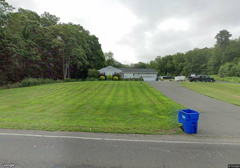
434 Warnertown Rd West Suffield, CT 06093
Estimated Value: $392,000 - $455,000
3
Beds
1
Bath
1,414
Sq Ft
$298/Sq Ft
Est. Value
About This Home
This home is located at 434 Warnertown Rd, West Suffield, CT 06093 and is currently estimated at $421,470, approximately $298 per square foot. 434 Warnertown Rd is a home located in Hartford County with nearby schools including A. Ward Spaulding School, Mcalister Intermediate School, and Suffield Middle School.
Ownership History
Date
Name
Owned For
Owner Type
Purchase Details
Closed on
Feb 16, 2011
Sold by
Gallant Nancy M
Bought by
Labarre Aaron R and Attardo Nicole M
Current Estimated Value
Home Financials for this Owner
Home Financials are based on the most recent Mortgage that was taken out on this home.
Original Mortgage
$204,800
Outstanding Balance
$140,073
Interest Rate
4.77%
Estimated Equity
$281,397
Create a Home Valuation Report for This Property
The Home Valuation Report is an in-depth analysis detailing your home's value as well as a comparison with similar homes in the area
Home Values in the Area
Average Home Value in this Area
Purchase History
| Date | Buyer | Sale Price | Title Company |
|---|---|---|---|
| Labarre Aaron R | $256,000 | -- |
Source: Public Records
Mortgage History
| Date | Status | Borrower | Loan Amount |
|---|---|---|---|
| Open | Labarre Aaron R | $204,800 |
Source: Public Records
Tax History Compared to Growth
Tax History
| Year | Tax Paid | Tax Assessment Tax Assessment Total Assessment is a certain percentage of the fair market value that is determined by local assessors to be the total taxable value of land and additions on the property. | Land | Improvement |
|---|---|---|---|---|
| 2025 | $5,416 | $231,350 | $90,860 | $140,490 |
| 2024 | $5,235 | $231,350 | $90,860 | $140,490 |
| 2023 | $5,249 | $183,470 | $91,420 | $92,050 |
| 2022 | $5,249 | $183,470 | $91,420 | $92,050 |
| 2021 | $5,255 | $183,470 | $91,420 | $92,050 |
| 2020 | $5,255 | $183,470 | $91,420 | $92,050 |
| 2019 | $5,269 | $183,470 | $91,420 | $92,050 |
| 2018 | $5,108 | $174,230 | $92,680 | $81,550 |
| 2017 | $5,034 | $174,230 | $92,680 | $81,550 |
| 2016 | $4,913 | $174,230 | $92,680 | $81,550 |
| 2015 | $4,840 | $174,230 | $92,680 | $81,550 |
| 2014 | $4,725 | $174,230 | $92,680 | $81,550 |
Source: Public Records
Map
Nearby Homes
- 7 Rising Corner Rd
- 150 S Longyard Rd
- 4 Lauren Ln
- 141 Point Grove Rd
- 50 Muriel Ln
- 109 N Lake Ave
- 3 Evergreen St
- 215 Barry St
- 80 Bungalow St
- 2 Lakemont St
- 306 Feeding Hills Rd
- 212 Feeding Hills Rd
- 141 Barry St
- 8 N Longyard Rd
- 2 Stratton Farms Rd
- 218 Griffin Rd
- 32 Sheep Pasture Rd
- 31 Woodland Ridge
- 550 Southwick St
- 139 Congamond Rd
- 456 Warnertown Rd
- 473 Warnertown Rd
- 501 Warnertown Rd
- 519 Warnertown Rd
- 536 Warnertown Rd
- 399 Warnertown Rd
- 555 Warnertown Rd
- 548 Warnertown Rd
- 560 Warnertown Rd
- 581 Warnertown Rd
- 312 S Longyard Rd
- 570 Warnertown Rd
- 310 S Longyard Rd
- 309 S Longyard Rd
- 1375 N Stone St
- 304 S Longyard Rd
- 1605 N Stone St
- 300 S Longyard Rd
- 1255 N Stone St
- 1515 N Stone St