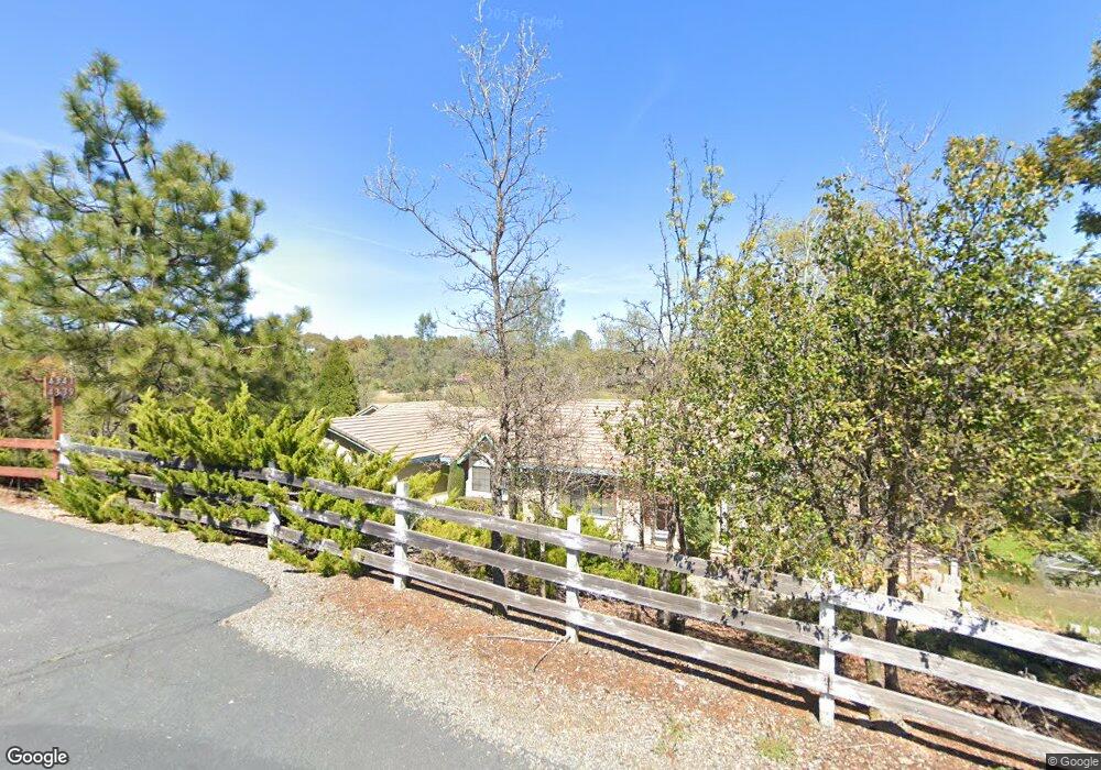
4341 Ingela Ct Placerville, CA 95667
Estimated Value: $667,626 - $943,000
6
Beds
4
Baths
2,000
Sq Ft
$386/Sq Ft
Est. Value
About This Home
This home is located at 4341 Ingela Ct, Placerville, CA 95667 and is currently estimated at $771,657, approximately $385 per square foot. 4341 Ingela Ct is a home located in El Dorado County with nearby schools including Herbert C. Green Middle School, Indian Creek Elementary School, and Union Mine High School.
Ownership History
Date
Name
Owned For
Owner Type
Purchase Details
Closed on
Apr 14, 1998
Sold by
Mejia Joseph F and Mejia Esther C
Bought by
Sparks Robert W and Sparks Tracy Y
Current Estimated Value
Home Financials for this Owner
Home Financials are based on the most recent Mortgage that was taken out on this home.
Original Mortgage
$192,690
Outstanding Balance
$36,834
Interest Rate
7.18%
Estimated Equity
$734,823
Create a Home Valuation Report for This Property
The Home Valuation Report is an in-depth analysis detailing your home's value as well as a comparison with similar homes in the area
Home Values in the Area
Average Home Value in this Area
Purchase History
We collect this data history from publicly available records. To have your information removed, we recommend requesting removal directly through your county’s website.
| Date | Buyer | Sale Price | Title Company |
|---|---|---|---|
| Sparks Robert W | $199,000 | Chicago Title Co |
Source: Public Records
Mortgage History
We collect this data history from publicly available records. To have your information removed, we recommend requesting removal directly through your county’s website.
| Date | Status | Borrower | Loan Amount |
|---|---|---|---|
| Open | Sparks Robert W | $192,690 |
Source: Public Records
Tax History
| Year | Tax Paid | Tax Assessment Tax Assessment Total Assessment is a certain percentage of the fair market value that is determined by local assessors to be the total taxable value of land and additions on the property. | Land | Improvement |
|---|---|---|---|---|
| 2025 | $5,206 | $510,146 | $111,754 | $398,392 |
| 2024 | $5,206 | $500,144 | $109,563 | $390,581 |
| 2023 | $5,080 | $490,338 | $107,415 | $382,923 |
| 2022 | $5,023 | $480,724 | $105,309 | $375,415 |
| 2021 | $4,952 | $471,299 | $103,245 | $368,054 |
| 2020 | $4,885 | $466,468 | $102,187 | $364,281 |
| 2019 | $4,807 | $457,323 | $100,184 | $357,139 |
| 2018 | $4,667 | $448,357 | $98,220 | $350,137 |
| 2017 | $4,582 | $439,567 | $96,295 | $343,272 |
| 2016 | $3,494 | $332,909 | $94,407 | $238,502 |
| 2015 | $3,312 | $327,910 | $92,990 | $234,920 |
| 2014 | $3,312 | $321,488 | $91,169 | $230,319 |
Source: Public Records
Map
Nearby Homes
- 6181 Lambert Ln
- 4201 Irish Port Ln
- 0 Echo Ln Unit 226012331
- 6371 Mother Lode Dr
- 4330 Panorama Dr Unit 8
- 4041 Glider Rd
- 6300 Longview Dr
- 4111 Badger Ln
- 4781 Oriental St
- 5681 Gold Leaf Ln
- 3840 Greenstone Rd
- 6689 Rhodes Ave
- 3390 Morel Way
- 3335 Morel Way
- 6561 Trinity Way
- 5560 Ralston Way
- 6069 Pleasant Valley Rd
- 2421 Chantrelle Ct
- 0 Grassy Run Rd Unit 226031966
- 4160 Oro Ln Unit 15
- 4325 Ingela Ct
- 4340 Ingela Ct
- 4321 Ingela Ct
- 4332 Stevens Ct
- 4344 Stevens Ct
- 3921 Strickland Mine Rd
- 5779 Silver Lode Dr
- 4356 Stevens Ct
- 4220 Strickland Mine Ct
- 4400 Sonja Ct
- 4345 Stevens Ct
- 3961 Strickland Mine Rd
- 5780 Silver Lode Dr
- 3909 Strickland Mine Rd
- 4361 Stevens Ct
- 6312 Agua Dulce Ct
- 4420 Sonja Ct
- 4401 Sonja Ct
- 5685 Silver Lode Dr
- 6300 Agua Dulce Ct
Your Personal Tour Guide
Ask me questions while you tour the home.