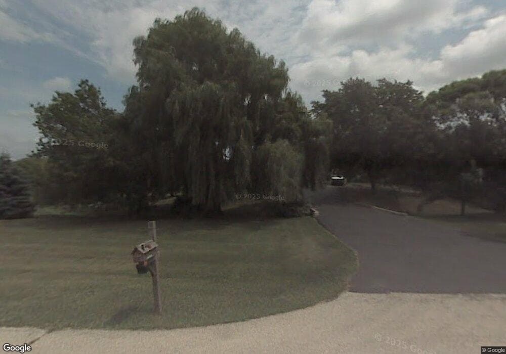
43411 N Lynndale Dr Zion, IL 60099
West Zion NeighborhoodEstimated Value: $350,937 - $406,000
3
Beds
3
Baths
1,904
Sq Ft
$202/Sq Ft
Est. Value
About This Home
This home is located at 43411 N Lynndale Dr, Zion, IL 60099 and is currently estimated at $385,234, approximately $202 per square foot. 43411 N Lynndale Dr is a home located in Lake County with nearby schools including Newport Elementary School, Beach Park Middle School, and Zion-Benton Township High School.
Ownership History
Date
Name
Owned For
Owner Type
Purchase Details
Closed on
May 11, 2021
Sold by
Piet Dale A and Piet Cindy L
Bought by
Piet Dale A and Piet Cindy L
Current Estimated Value
Purchase Details
Closed on
Oct 10, 2011
Sold by
Machak Anthony S and Machak Beverly A
Bought by
Piet Dale A and Piet Cindy L
Home Financials for this Owner
Home Financials are based on the most recent Mortgage that was taken out on this home.
Original Mortgage
$50,000
Outstanding Balance
$34,085
Interest Rate
4.09%
Mortgage Type
New Conventional
Estimated Equity
$351,149
Create a Home Valuation Report for This Property
The Home Valuation Report is an in-depth analysis detailing your home's value as well as a comparison with similar homes in the area
Home Values in the Area
Average Home Value in this Area
Purchase History
| Date | Buyer | Sale Price | Title Company |
|---|---|---|---|
| Piet Dale A | -- | Attorney | |
| Piet Dale A | $180,000 | None Available |
Source: Public Records
Mortgage History
| Date | Status | Borrower | Loan Amount |
|---|---|---|---|
| Open | Piet Dale A | $50,000 |
Source: Public Records
Tax History Compared to Growth
Tax History
| Year | Tax Paid | Tax Assessment Tax Assessment Total Assessment is a certain percentage of the fair market value that is determined by local assessors to be the total taxable value of land and additions on the property. | Land | Improvement |
|---|---|---|---|---|
| 2024 | $8,303 | $106,321 | $15,152 | $91,169 |
| 2023 | $7,871 | $92,707 | $14,627 | $78,080 |
| 2022 | $7,871 | $85,024 | $14,324 | $70,700 |
| 2021 | $7,705 | $78,962 | $13,960 | $65,002 |
| 2020 | $7,532 | $75,353 | $13,322 | $62,031 |
| 2019 | $7,521 | $71,492 | $12,639 | $58,853 |
| 2018 | $8,303 | $75,745 | $15,371 | $60,374 |
| 2017 | $8,240 | $71,256 | $14,460 | $56,796 |
| 2016 | $8,023 | $67,837 | $13,766 | $54,071 |
| 2015 | $7,778 | $62,213 | $12,625 | $49,588 |
| 2014 | $6,671 | $57,524 | $5,993 | $51,531 |
| 2012 | $6,721 | $59,778 | $6,228 | $53,550 |
Source: Public Records
Map
Nearby Homes
- 43411 Lynn Dale Dr
- 43389 N Oakcrest Ln
- 12977 W 9th St
- 908 Countrywood Dr
- 0 9th St
- Lt0 128th St
- 42771 N Delany Rd
- 11449 61st Ave
- 4401 122nd St
- Lt5 113th St
- 42908 N Lewis Ave
- Lt6 113th St
- 43100 N Lewis Ave
- 1302 Lorelei Dr
- 8302 85th Ave
- Lt0 39th Ave
- Lt12 113th St
- Lt19 Cedar Ridge Ct
- 3717 Willow Crest Dr
- Lt35 113th St
- 43367 N Lynndale Dr
- 43402 N Lynndale Dr
- 43465 N Lynndale Dr
- 43440 N Lynndale Dr
- 12881 W Russell Rd
- 43366 N Lynndale Dr
- 43366 Lynn Dale Dr
- 43464 N Lynndale Dr
- 43321 N Lynndale Dr
- 12825 W Russell Rd
- 43320 N Lynndale Dr
- 12743 64th Ave
- 12735 64th Ave
- 12740 64th Ave
- 12727 64th Ave
- 12728 64th Ave
- 43299 N Lynndale Dr
- 12737 Timber Ridge Dr
- 12711 64th Ave
- 12735 Timber Ridge Dr
