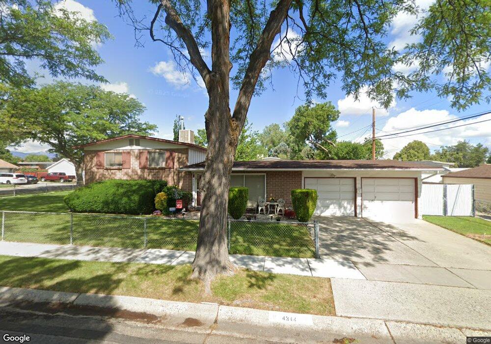
4344 Bennion Rd Salt Lake City, UT 84129
Estimated Value: $425,000 - $500,000
5
Beds
2
Baths
1,125
Sq Ft
$406/Sq Ft
Est. Value
About This Home
This home is located at 4344 Bennion Rd, Salt Lake City, UT 84129 and is currently estimated at $457,234, approximately $406 per square foot. 4344 Bennion Rd is a home located in Salt Lake County with nearby schools including Taylorsville Elementary School, Eisenhower Jr High School, and Taylorsville High School.
Ownership History
Date
Name
Owned For
Owner Type
Purchase Details
Closed on
Apr 17, 2006
Sold by
Benavidez Pearl P and Benavidez Priscille P
Bought by
Benavidez Pearl P
Current Estimated Value
Home Financials for this Owner
Home Financials are based on the most recent Mortgage that was taken out on this home.
Original Mortgage
$116,500
Interest Rate
6.35%
Mortgage Type
Stand Alone Refi Refinance Of Original Loan
Create a Home Valuation Report for This Property
The Home Valuation Report is an in-depth analysis detailing your home's value as well as a comparison with similar homes in the area
Home Values in the Area
Average Home Value in this Area
Purchase History
| Date | Buyer | Sale Price | Title Company |
|---|---|---|---|
| Benavidez Pearl P | -- | Executive Title Ins Agency |
Source: Public Records
Mortgage History
| Date | Status | Borrower | Loan Amount |
|---|---|---|---|
| Closed | Benavidez Pearl P | $116,500 |
Source: Public Records
Tax History Compared to Growth
Tax History
| Year | Tax Paid | Tax Assessment Tax Assessment Total Assessment is a certain percentage of the fair market value that is determined by local assessors to be the total taxable value of land and additions on the property. | Land | Improvement |
|---|---|---|---|---|
| 2025 | $2,428 | $413,800 | $101,100 | $312,700 |
| 2024 | $2,428 | $398,200 | $96,800 | $301,400 |
| 2023 | $2,428 | $362,600 | $93,100 | $269,500 |
| 2022 | $2,196 | $356,400 | $91,300 | $265,100 |
| 2021 | $2,056 | $290,500 | $70,200 | $220,300 |
| 2020 | $1,926 | $257,600 | $62,400 | $195,200 |
| 2019 | $1,908 | $249,200 | $62,400 | $186,800 |
| 2018 | $1,747 | $220,000 | $62,400 | $157,600 |
| 2017 | $1,533 | $202,900 | $59,400 | $143,500 |
| 2016 | $1,350 | $178,500 | $59,400 | $119,100 |
| 2015 | $1,337 | $165,200 | $74,900 | $90,300 |
| 2014 | $1,277 | $155,000 | $71,000 | $84,000 |
Source: Public Records
Map
Nearby Homes
- 1901 Kirkham Way
- 1998 Theckston Rd
- 4257 S Morris St
- 4203 Morris St
- 1762 Mantle Ave
- 4255 S Redwood Rd W
- 2267 W 4240 S
- 2258 W 4185 S
- 2221 W Davenshire Ln
- 2121 W 4100 S
- 2318 W 4220 S
- 4188 S Oak Meadows Dr Unit 21
- 4533 S Knightsbridge Rd
- 4497 S Edgeware Ln
- 4631 S 1980 W
- 4176 S Oak Meadows Dr Unit 10
- 1854 W 4100 S
- 4148 S Oak Meadows Dr Unit 31
- 2409 W Hardrock Dr
- 2451 Hard Rock Cir S
- 1974 Kirkham Way
- 1933 Condie Dr
- 1936 Kirkham Way
- 1945 Condie Dr
- 1967 Kirkham Way
- 1984 W Kirkham Way
- 1984 Kirkham Way
- 4339 Bennion Rd
- 4339 S Bennion Rd
- 1959 W Condie Dr
- 1959 Condie Dr
- 1959 W Condie Dr
- 1985 Kirkham Way
- 1941 Kirkham Way
- 1941 W Kirkham Way
- 1924 Kirkham Way
- 4368 Bennion Rd
- 1998 W Kirkham Way
- 1998 Kirkham Way
- 1901 Condie Dr