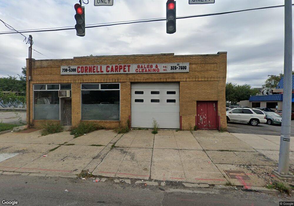
4344 Boston Post Rd Pelham, NY 10803
Estimated Value: $762,934
--
Bed
--
Bath
7,000
Sq Ft
$109/Sq Ft
Est. Value
About This Home
This home is located at 4344 Boston Post Rd, Pelham, NY 10803 and is currently estimated at $762,934, approximately $108 per square foot. 4344 Boston Post Rd is a home located in Westchester County with nearby schools including Pelham Memorial High School and Capital Preparatory Bronx Charter School.
Ownership History
Date
Name
Owned For
Owner Type
Purchase Details
Closed on
Jul 14, 2011
Sold by
Dipaola Peter Michael
Bought by
4344 Boston Post Road Llc
Current Estimated Value
Purchase Details
Closed on
Dec 28, 2008
Sold by
Vitale Frances
Bought by
Dipaola Peter Michael and Gonzalez Theresa Dipaola
Purchase Details
Closed on
Dec 15, 2008
Sold by
Dipaola Peter Michael and Gonzalez Theresa Dipaola
Bought by
Dipaola Peter Michael and Gonzalez Theresa Dipaola
Create a Home Valuation Report for This Property
The Home Valuation Report is an in-depth analysis detailing your home's value as well as a comparison with similar homes in the area
Home Values in the Area
Average Home Value in this Area
Purchase History
| Date | Buyer | Sale Price | Title Company |
|---|---|---|---|
| 4344 Boston Post Road Llc | $475,000 | None Available | |
| Dipaola Peter Michael | -- | First Amer Title Ins Co Ny | |
| Dipaola Peter Michael | -- | First Amer Title Ins Co Ny |
Source: Public Records
Tax History Compared to Growth
Tax History
| Year | Tax Paid | Tax Assessment Tax Assessment Total Assessment is a certain percentage of the fair market value that is determined by local assessors to be the total taxable value of land and additions on the property. | Land | Improvement |
|---|---|---|---|---|
| 2024 | $18,516 | $540,000 | $112,000 | $428,000 |
| 2023 | $17,389 | $519,000 | $101,500 | $417,500 |
| 2022 | $17,509 | $485,000 | $101,500 | $383,500 |
| 2021 | $18,771 | $485,000 | $101,500 | $383,500 |
| 2020 | $17,859 | $485,000 | $101,500 | $383,500 |
| 2019 | $16,623 | $460,000 | $101,500 | $358,500 |
| 2018 | $25,780 | $440,000 | $101,500 | $338,500 |
| 2017 | $2,073 | $415,000 | $101,500 | $313,500 |
| 2016 | $17,234 | $415,000 | $101,500 | $313,500 |
| 2015 | -- | $415,000 | $101,500 | $313,500 |
| 2014 | -- | $415,000 | $101,500 | $313,500 |
| 2013 | -- | $400,000 | $101,500 | $298,500 |
Source: Public Records
Map
Nearby Homes
- 3549 Ropes Ave
- 3550 Huguenot Ave
- 3511 Mc Owen Ave
- 889 James St
- 982 Split Rock Rd
- 839 James St
- 991 Grant Ave
- 668 Francis St
- 973 Plymouth St
- 15 Saint Pauls Place
- 89 Park Dr
- 3992 Rombouts Ave
- 620 Timpson St
- 3735 Rombouts Ave
- 1020 Grant Ave
- 42 Wildwood Ave
- 3946 Secor Ave
- 724 S 4th Ave
- 4003 Secor Ave
- 78 Oak Ln
- 4784 Boston Rd Unit B55
- 4810 Boston Rd Unit 1E
- 4344 Boston Rd
- 4340 Boston Rd
- 3564 Ropes Ave
- 3560 Ropes Ave
- 62 Ropes Ave
- 3556 Ropes Ave
- 919 West St
- 2559 Flint Ave
- 3552 Ropes Ave
- 3563 Ropes Ave
- 3561 Ropes Ave
- 4330 Boston Rd
- 3559 Ropes Ave
- 3553 Ropes Ave
- 3550 Ropes Ave
- 2569 Flint Ave
- 3551 Ropes Ave
- 3560 Mc Owen Ave