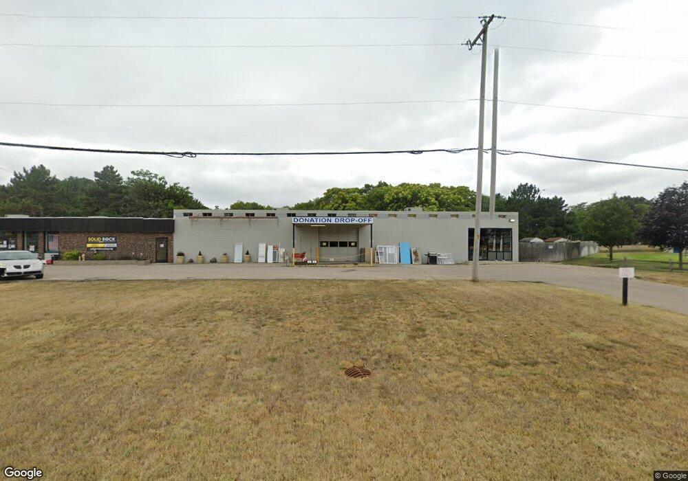
4345 Airline Hwy Norton Shores, MI 49444
Estimated Value: $395,703
--
Bed
--
Bath
10,750
Sq Ft
$37/Sq Ft
Est. Value
About This Home
This home is located at 4345 Airline Hwy, Norton Shores, MI 49444 and is currently estimated at $395,703, approximately $36 per square foot. 4345 Airline Hwy is a home located in Muskegon County with nearby schools including Mona Shores High School, Edgewood Elementary Academy, and Dr. Martin Luther King Academy.
Ownership History
Date
Name
Owned For
Owner Type
Purchase Details
Closed on
Nov 4, 2015
Sold by
May David E
Bought by
Muskegon County Habitat For Humanity Inc
Current Estimated Value
Home Financials for this Owner
Home Financials are based on the most recent Mortgage that was taken out on this home.
Original Mortgage
$162,000
Outstanding Balance
$127,204
Interest Rate
3.74%
Mortgage Type
Seller Take Back
Estimated Equity
$268,499
Purchase Details
Closed on
Mar 11, 2005
Sold by
May David E
Bought by
L & S Manistee Ventures Inc
Purchase Details
Closed on
Jul 12, 2004
Sold by
May David E and May Lynne M
Bought by
May David E and David E May Trust
Create a Home Valuation Report for This Property
The Home Valuation Report is an in-depth analysis detailing your home's value as well as a comparison with similar homes in the area
Home Values in the Area
Average Home Value in this Area
Purchase History
| Date | Buyer | Sale Price | Title Company |
|---|---|---|---|
| Muskegon County Habitat For Humanity Inc | $180,000 | Attorney | |
| L & S Manistee Ventures Inc | -- | Woodland Title | |
| May David E | -- | -- |
Source: Public Records
Mortgage History
| Date | Status | Borrower | Loan Amount |
|---|---|---|---|
| Open | Muskegon County Habitat For Humanity Inc | $162,000 |
Source: Public Records
Tax History Compared to Growth
Tax History
| Year | Tax Paid | Tax Assessment Tax Assessment Total Assessment is a certain percentage of the fair market value that is determined by local assessors to be the total taxable value of land and additions on the property. | Land | Improvement |
|---|---|---|---|---|
| 2025 | -- | $0 | $0 | $0 |
| 2024 | -- | $0 | $0 | $0 |
| 2023 | -- | $0 | $0 | $0 |
| 2022 | $0 | $0 | $0 | $0 |
| 2021 | $0 | $0 | $0 | $0 |
| 2020 | $0 | $0 | $0 | $0 |
| 2019 | $0 | $0 | $0 | $0 |
| 2018 | $0 | $0 | $0 | $0 |
| 2017 | $5,595 | $0 | $0 | $0 |
| 2016 | $3,907 | $96,200 | $0 | $0 |
| 2015 | -- | $94,600 | $0 | $0 |
| 2014 | $5,214 | $93,600 | $0 | $0 |
| 2013 | -- | $96,600 | $0 | $0 |
Source: Public Records
Map
Nearby Homes
- 1454 Airport Rd
- V/L 4535 Thompson Rd
- 4060 Buck St
- 4535 Thompson Rd
- 1130 Englewood Ave
- 4468 Spruce Ct
- 4476 Cedar Ln Unit 54
- 1068 Englewood Ave
- 4677 Harvey St
- 1201 Shettler Rd
- 1067 Aspen Dr
- 1065 Wilson Ct
- 4769 Harvey St
- 3835 Molly Blvd
- 945 Petrie Ave
- 3835 Ellen St
- 4638 Lauren Dr
- 1404 E Ellis Rd
- 4102 Highgate Rd
- 4563 Keener St
- 4345 Airline Rd
- 4323 Airline Rd
- 4280 Airline Rd
- 1411 Cherry Ave
- 4344 Airline Rd
- 1372 Cherry Ave
- 1387 Cherry Ave
- 4285 Airline Rd
- 1360 Cherry Ave
- 1399 Cherry Ave
- 1365 Cherry Ave
- 4247 Orchard Rd
- 4257 Orchard Rd
- 1349 Wealthy Ave
- 4237 Orchard Rd
- 4269 Orchard Rd
- 4250 Airline Hwy
- 4250 Airline Rd
- 4227 Orchard Rd
- 4271 Orchard Rd