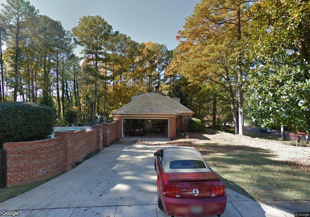
4345 Kennesaw Dr Mountain Brook, AL 35213
Estimated Value: $911,000 - $1,785,693
4
Beds
6
Baths
5,878
Sq Ft
$239/Sq Ft
Est. Value
About This Home
This home is located at 4345 Kennesaw Dr, Mountain Brook, AL 35213 and is currently estimated at $1,403,898, approximately $238 per square foot. 4345 Kennesaw Dr is a home located in Jefferson County with nearby schools including Cherokee Bend Elementary School, Mt. Brook Junior High School, and Mt. Brook High School.
Ownership History
Date
Name
Owned For
Owner Type
Purchase Details
Closed on
Sep 20, 2004
Sold by
Elledge Marian
Bought by
Elledge Scott
Current Estimated Value
Purchase Details
Closed on
Nov 15, 1999
Sold by
Evans Walter L and Evans Mary C
Bought by
Elledge Scott and Elledge Marian
Home Financials for this Owner
Home Financials are based on the most recent Mortgage that was taken out on this home.
Original Mortgage
$492,000
Outstanding Balance
$148,710
Interest Rate
7.62%
Estimated Equity
$1,255,188
Create a Home Valuation Report for This Property
The Home Valuation Report is an in-depth analysis detailing your home's value as well as a comparison with similar homes in the area
Home Values in the Area
Average Home Value in this Area
Purchase History
| Date | Buyer | Sale Price | Title Company |
|---|---|---|---|
| Elledge Scott | -- | -- | |
| Elledge Scott | $615,000 | -- |
Source: Public Records
Mortgage History
| Date | Status | Borrower | Loan Amount |
|---|---|---|---|
| Open | Elledge Scott | $492,000 | |
| Closed | Elledge Scott | $61,500 |
Source: Public Records
Tax History Compared to Growth
Tax History
| Year | Tax Paid | Tax Assessment Tax Assessment Total Assessment is a certain percentage of the fair market value that is determined by local assessors to be the total taxable value of land and additions on the property. | Land | Improvement |
|---|---|---|---|---|
| 2024 | $12,146 | $144,780 | -- | -- |
| 2022 | $12,669 | $116,710 | $30,640 | $86,070 |
| 2021 | $9,589 | $88,450 | $30,640 | $57,810 |
| 2020 | $9,452 | $87,200 | $30,640 | $56,560 |
| 2019 | $7,633 | $77,640 | $0 | $0 |
| 2018 | $7,117 | $72,420 | $0 | $0 |
| 2017 | $7,117 | $72,420 | $0 | $0 |
| 2016 | $7,117 | $72,420 | $0 | $0 |
| 2015 | $7,117 | $72,420 | $0 | $0 |
| 2014 | $7,044 | $71,640 | $0 | $0 |
| 2013 | $7,044 | $71,640 | $0 | $0 |
Source: Public Records
Map
Nearby Homes
- 73 Cross Creek Dr E
- 77 Cross Creek Dr E
- 4529 Little River Rd
- 4533 Little River Rd
- 4559 Little River Rd
- 4208 Wilderness Rd
- 4817 Fulmar Dr
- 5025 Juiata Dr
- 5022 Juiata Dr
- 5008 Ewell Ln
- 4539 Pine Mountain Rd
- 3656 Brookwood Rd
- 341 Bush St
- 5038 Juiata Dr
- 332 Bush St
- 329 Rosewood St
- 4760 Vermont Ave
- 5052 Ewell Ln
- 312 Rosewood St
- 5064 Cherokee Woods Cir
- 4346 Kennesaw Dr
- 4349 Kennesaw Dr
- 4341 Kennesaw Dr
- 4309 Corinth Dr
- 4301 Corinth Dr
- 4313 Corinth Dr
- 4350 Kennesaw Dr
- 4353 Kennesaw Dr
- 4242 Chickamauga Rd
- 4317 Corinth Dr
- 4334 Kennesaw Dr
- 4304 Corinth Dr
- 4357 Kennesaw Dr
- 4308 Corinth Dr
- 4239 Chickamauga Rd
- 4312 Corinth Dr
- 4321 Corinth Dr
- 4243 Chickamauga Rd
- 4330 Kennesaw Dr
- 4316 Corinth Dr