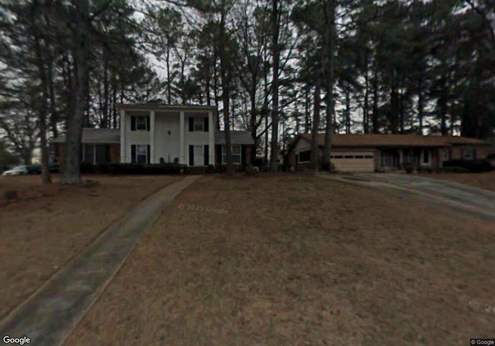
4345 Langdon Dr Unit 1 Decatur, GA 30035
Southwest DeKalb NeighborhoodEstimated Value: $241,542 - $297,000
3
Beds
2
Baths
1,795
Sq Ft
$151/Sq Ft
Est. Value
About This Home
This home is located at 4345 Langdon Dr Unit 1, Decatur, GA 30035 and is currently estimated at $271,136, approximately $151 per square foot. 4345 Langdon Dr Unit 1 is a home located in DeKalb County with nearby schools including Canby Lane Elementary School, Mary McLeod Bethune Middle School, and Towers High School.
Ownership History
Date
Name
Owned For
Owner Type
Purchase Details
Closed on
May 21, 2001
Sold by
Hud
Bought by
Bell William I and Bell Gwendolyn H
Current Estimated Value
Home Financials for this Owner
Home Financials are based on the most recent Mortgage that was taken out on this home.
Original Mortgage
$17,000
Interest Rate
7.11%
Mortgage Type
New Conventional
Purchase Details
Closed on
Aug 1, 2000
Sold by
Chase Manhattan Mortgage Corp
Bought by
Sec Of Hud
Purchase Details
Closed on
May 22, 1995
Sold by
Jackson Gerald Sharon
Bought by
Igidi Dennis Sharon
Create a Home Valuation Report for This Property
The Home Valuation Report is an in-depth analysis detailing your home's value as well as a comparison with similar homes in the area
Home Values in the Area
Average Home Value in this Area
Purchase History
| Date | Buyer | Sale Price | Title Company |
|---|---|---|---|
| Bell William I | -- | -- | |
| Sec Of Hud | -- | -- | |
| Chase Manhattan Mortgage Corp | $106,987 | -- | |
| Igidi Dennis Sharon | $82,000 | -- |
Source: Public Records
Mortgage History
| Date | Status | Borrower | Loan Amount |
|---|---|---|---|
| Closed | Bell William I | $17,000 | |
| Closed | Igidi Dennis Sharon | $0 |
Source: Public Records
Tax History Compared to Growth
Tax History
| Year | Tax Paid | Tax Assessment Tax Assessment Total Assessment is a certain percentage of the fair market value that is determined by local assessors to be the total taxable value of land and additions on the property. | Land | Improvement |
|---|---|---|---|---|
| 2025 | $1,207 | $98,520 | $12,000 | $86,520 |
| 2024 | $1,325 | $94,200 | $6,480 | $87,720 |
| 2023 | $1,325 | $99,080 | $6,480 | $92,600 |
| 2022 | $2,373 | $70,360 | $6,480 | $63,880 |
| 2021 | $1,301 | $39,200 | $6,480 | $32,720 |
| 2020 | $1,391 | $41,680 | $6,480 | $35,200 |
| 2019 | $1,131 | $34,440 | $6,480 | $27,960 |
| 2018 | $964 | $36,200 | $6,480 | $29,720 |
| 2017 | $1,327 | $39,040 | $6,480 | $32,560 |
| 2016 | $1,102 | $33,400 | $6,480 | $26,920 |
| 2014 | $534 | $16,720 | $6,480 | $10,240 |
Source: Public Records
Map
Nearby Homes
- 4373 Buckingham Cir
- 4379 Cross Ln
- 2468 Leslie Brook Dr
- 4371 Aldergate Dr
- 2356 Wingfoot Place
- 4202 Wesley Hall Ln
- 4214 Canby Ln
- 4225 Wesley Hall Ln
- 2146 Wingfoot Place
- 2419 Leslie Brook Dr
- 2393 Winshire Dr
- 2087 John Wesley Ct
- 4326 Aldergate Dr
- 2401 Winshire Dr
- 2416 Newgate Dr
- 2360 S Hairston Rd
- 2313 Wingfoot Place
- 4211 Wingfoot Ct
- 2303 Wingfoot Place
- 4190 Wingfoot Ct Unit 2
- 4337 Langdon Dr
- 4353 Langdon Dr
- 4342 Riverwood Cir
- 4329 Langdon Dr
- 4352 Riverwood Cir
- 4334 Riverwood Cir
- 4350 Langdon Dr Unit F
- 4340 Langdon Dr Unit 1
- 4365 Langdon Dr
- 4323 Langdon Dr
- 4332 Langdon Dr
- 4324 Riverwood Cir Unit 1
- 4366 Riverwood Cir Unit 1
- 2215 April Ln
- 4326 Langdon Dr
- 4364 Langdon Dr
- 4373 Langdon Dr
- 4315 Langdon Dr Unit I
- 4347 Riverwood Cir
- 4316 Riverwood Cir Unit 1