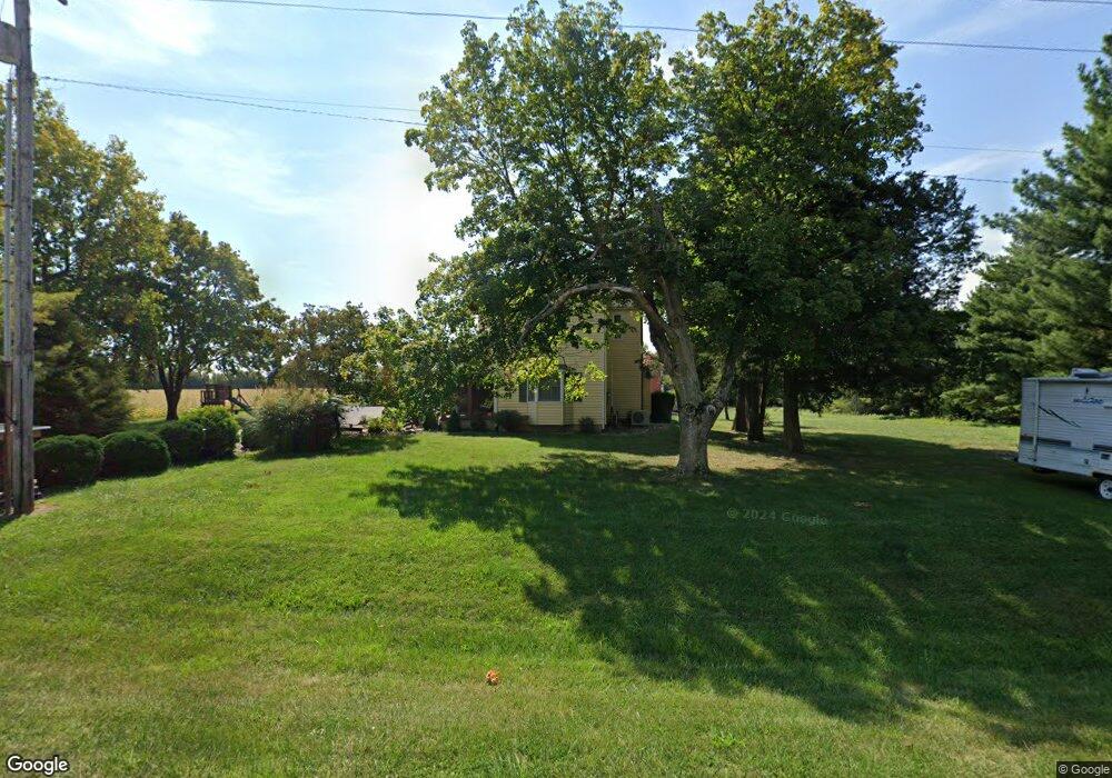
4345 Mount Auburn Rd Decatur, IL 62521
Estimated Value: $148,000 - $346,000
--
Bed
--
Bath
1,061
Sq Ft
$211/Sq Ft
Est. Value
About This Home
This home is located at 4345 Mount Auburn Rd, Decatur, IL 62521 and is currently estimated at $223,881, approximately $211 per square foot. 4345 Mount Auburn Rd is a home located in Macon County with nearby schools including Meridian Middle School and Meridian High School.
Ownership History
Date
Name
Owned For
Owner Type
Purchase Details
Closed on
Aug 15, 2018
Sold by
Zeigler Joel M and Zeigler Diane
Bought by
Green Crystal L
Current Estimated Value
Home Financials for this Owner
Home Financials are based on the most recent Mortgage that was taken out on this home.
Original Mortgage
$108,000
Outstanding Balance
$93,598
Interest Rate
4.5%
Mortgage Type
New Conventional
Estimated Equity
$130,283
Purchase Details
Closed on
Sep 1, 1986
Create a Home Valuation Report for This Property
The Home Valuation Report is an in-depth analysis detailing your home's value as well as a comparison with similar homes in the area
Home Values in the Area
Average Home Value in this Area
Purchase History
| Date | Buyer | Sale Price | Title Company |
|---|---|---|---|
| Green Crystal L | $135,000 | None Available | |
| -- | $44,000 | -- |
Source: Public Records
Mortgage History
| Date | Status | Borrower | Loan Amount |
|---|---|---|---|
| Open | Green Crystal L | $108,000 |
Source: Public Records
Tax History Compared to Growth
Tax History
| Year | Tax Paid | Tax Assessment Tax Assessment Total Assessment is a certain percentage of the fair market value that is determined by local assessors to be the total taxable value of land and additions on the property. | Land | Improvement |
|---|---|---|---|---|
| 2024 | $4,071 | $57,875 | $11,156 | $46,719 |
| 2023 | $3,892 | $54,819 | $11,156 | $43,663 |
| 2022 | $3,732 | $52,298 | $10,643 | $41,655 |
| 2021 | $3,429 | $49,753 | $10,125 | $39,628 |
| 2020 | $3,048 | $47,158 | $9,597 | $37,561 |
| 2019 | $3,048 | $47,158 | $9,597 | $37,561 |
| 2018 | $2,895 | $45,361 | $9,231 | $36,130 |
| 2017 | $2,831 | $44,939 | $9,145 | $35,794 |
| 2016 | $2,846 | $41,516 | $9,126 | $32,390 |
| 2015 | $2,641 | $40,307 | $8,860 | $31,447 |
| 2014 | $2,436 | $39,908 | $8,772 | $31,136 |
| 2013 | $2,438 | $39,908 | $8,772 | $31,136 |
Source: Public Records
Map
Nearby Homes
- 3031 Heritage Rd
- 2529 W Alice Ln
- 3316 Ferris Dr
- 2207 Forest Crest Dr
- 3335 Nevada Rd
- 3247 Nevada Rd
- 1833 Burning Tree Dr
- 1745 Heritage Rd
- 2970 Olympia Dr
- 15 Calumet Rd
- 1739 Moorwood Dr
- 2705 S Taylor Rd
- 5180 W Cantrell St
- 4845 S Taylor Rd
- 445 S Wyckles Rd
- 6449 S Route 48
- 1740 S Fairview Ave
- 170 S Hillcrest Blvd
- 345 S Westdale Ave
- 353 S Linden Ave
- 3278 Marble Point
- 3275 Marble Point
- 3220 Marble Point
- 3215 Marble Point
- 4190 Mount Auburn Rd
- 10 Blackstone Dr
- 3201 Marble Point
- 4160 Mount Auburn Rd
- 3070 Blackstone Dr
- 3143 Marble Ct
- 3189 Marble Ct
- 3058 Blackstone Dr
- 4525 Mount Auburn Rd
- 3144 Marble Ct
- 3194 Marble Ct
- 3165 Marble Point
- 10 Marble Point
- 3028 Blackstone Dr
- 3139 Marble Point
- 2990 Blackstone Dr