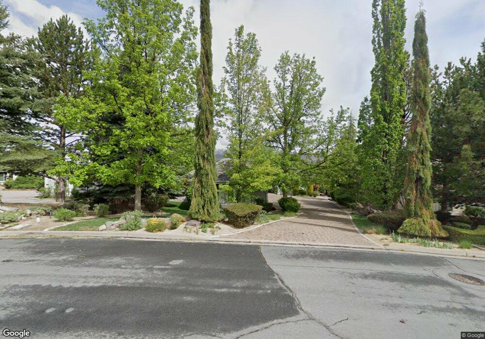
4345 Mountaingate Dr Unit 1 Reno, NV 89519
South Outer Reno NeighborhoodEstimated Value: $1,521,470 - $1,757,000
About This Home
This home is located at 4345 Mountaingate Dr Unit 1, Reno, NV 89519 and is currently estimated at $1,682,618, approximately $483 per square foot. 4345 Mountaingate Dr Unit 1 is a home located in Washoe County with nearby schools including Roy Gomm Elementary School, Darrell C Swope Middle School, and Reno High School.
Ownership History
We collect this data history from publicly available records. To have your information removed, we recommend requesting removal directly through your county’s website.
Purchase Details
Purchase Details
Home Financials for this Owner
Home Financials are based on the most recent Mortgage that was taken out on this home.Purchase Details
Purchase Details
Purchase Details
Home Values in the Area
Average Home Value in this Area
Purchase History
We collect this data history from publicly available records. To have your information removed, we recommend requesting removal directly through your county’s website.
| Date | Buyer | Sale Price | Title Company |
|---|---|---|---|
| -- | None Available | ||
| $695,000 | Stewart Title Northern Nevad | ||
| $83,000 | First American Title Co | ||
| $90,000 | First American Title Co | ||
| $84,500 | First American Title Company |
Mortgage History
We collect this data history from publicly available records. To have your information removed, we recommend requesting removal directly through your county’s website.
| Date | Status | Borrower | Loan Amount |
|---|---|---|---|
| Previous Owner | $275,000 |
Tax History
We collect this data history from publicly available records. To have your information removed, we recommend requesting removal directly through your county’s website.
| Year | Tax Paid | Tax Assessment Tax Assessment Total Assessment is a certain percentage of the fair market value that is determined by local assessors to be the total taxable value of land and additions on the property. | Land | Improvement |
|---|---|---|---|---|
| 2026 | -- | $336,342 | $131,250 | $205,092 |
| 2024 | $8,180 | $322,456 | $112,000 | $210,456 |
| 2023 | $7,941 | $304,180 | $105,000 | $199,180 |
| 2022 | $7,717 | $258,995 | $92,750 | $166,245 |
| 2021 | $7,490 | $244,239 | $78,750 | $165,489 |
| 2020 | $7,271 | $244,656 | $78,750 | $165,906 |
| 2019 | $7,060 | $230,223 | $70,000 | $160,223 |
| 2018 | $6,855 | $227,070 | $70,000 | $157,070 |
| 2017 | $6,655 | $227,376 | $70,000 | $157,376 |
| 2016 | $6,483 | $225,054 | $64,750 | $160,304 |
| 2015 | $1,630 | $200,381 | $39,235 | $161,146 |
| 2014 | $6,290 | $171,213 | $30,450 | $140,763 |
| 2013 | -- | $168,512 | $30,450 | $138,062 |
Map
- 0 Woodchuck Cir Unit 41-051-24
- 70 Bear Mountain Place
- 30 Francovich Ct
- 7440 W 4th St Unit 57
- 4220 Christy Way
- 245 Anselmo Dr
- 4260 Longknife Rd
- 4755 Canyon Dr
- 4387 Sharps Rd
- 270 Anselmo Dr
- 65 Sharps Cir
- 60 Promontory Pointe
- 40 Greybull Ct
- 40 Scattergun Cir
- 4130 Latigo Ct
- 4010 Canyon Dr
- 6850 Sharlands Ave Unit AB2171
- 6850 Sharlands Ave Unit 1132
- 6850 Sharlands Ave Unit 1029
- 1690 Caughlin Creek Rd
- 4355 Mountaingate Dr
- 4335 Mountaingate Dr Unit 1
- 4365 Mountaingate Dr
- 4325 Mountaingate Dr
- 4350 Mountaingate Dr
- 4350 Mountaingate Dr Unit Dr
- 4375 Mountaingate Dr
- 4385 Mountaingate Dr
- 4370 Mountaingate Dr Unit 1
- 4455 Starwood Ct
- 4505 Mountaingate Dr
- 4475 Starwood Ct
- 4495 Mountaingate Dr
- 4330 Mountaingate Dr
- 4515 Mountaingate Dr
- 4395 Mountaingate Dr
- 4445 Starwood Ct
- 4525 Mountaingate Dr
- 4475 Mountaingate Dr
- 4390 Mountaingate Dr
Ask me questions while you tour the home.