Estimated Value: $344,000 - $418,000
3
Beds
2
Baths
1,284
Sq Ft
$290/Sq Ft
Est. Value
About This Home
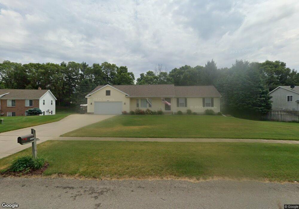
This home is located at 4345 Saturn Dr, Dorr, MI 49323 and is currently estimated at $371,927, approximately $289 per square foot. 4345 Saturn Dr is a home located in Allegan County with nearby schools including Wayland High School, Byron Center Charter School, and St. Stanislaus School.
Ownership History
Date
Name
Owned For
Owner Type
Purchase Details
Closed on
Jan 7, 2000
Sold by
Houseman James and Houseman Ruth
Bought by
Dehaan Edward and Dehaan Susan D
Current Estimated Value
Create a Home Valuation Report for This Property
The Home Valuation Report is an in-depth analysis detailing your home's value as well as a comparison with similar homes in the area
Home Values in the Area
Average Home Value in this Area
Purchase History
| Date | Buyer | Sale Price | Title Company |
|---|---|---|---|
| Dehaan Edward | $25,900 | -- | |
| Houseman James | $25,900 | -- | |
| Dehaan Edward B | $135,900 | -- | |
| Houseman James | $25,900 | -- |
Source: Public Records
Tax History
| Year | Tax Paid | Tax Assessment Tax Assessment Total Assessment is a certain percentage of the fair market value that is determined by local assessors to be the total taxable value of land and additions on the property. | Land | Improvement |
|---|---|---|---|---|
| 2025 | $2,777 | $162,900 | $48,200 | $114,700 |
| 2024 | $2,529 | $152,700 | $41,800 | $110,900 |
| 2023 | $2,590 | $134,100 | $38,400 | $95,700 |
| 2022 | $2,529 | $116,000 | $32,800 | $83,200 |
| 2021 | $2,376 | $113,700 | $34,100 | $79,600 |
| 2020 | $2,261 | $109,900 | $31,300 | $78,600 |
| 2019 | $2,261 | $99,500 | $31,300 | $68,200 |
| 2018 | $2,211 | $88,500 | $14,500 | $74,000 |
| 2017 | $0 | $90,700 | $14,500 | $76,200 |
| 2016 | $0 | $78,300 | $14,500 | $63,800 |
| 2015 | -- | $78,300 | $14,500 | $63,800 |
| 2014 | -- | $72,600 | $15,000 | $57,600 |
| 2013 | -- | $66,200 | $15,000 | $51,200 |
Source: Public Records
Map
Nearby Homes
- Lots A&B 142nd Ave
- 1341 142nd Ave
- 4087 Gene Ct
- 4069 21st St
- 4035 Patti Rd
- 10780 Windward Ave SW
- 10785 Windward Ave SW
- 10725 Windward Ave SW
- 4185 24th St
- 10711 Windward Ave SW
- 136 100th St SW
- 737 100th St SW
- 4335 Tavistock Dr
- 4316 Sussex Place
- 1125 Russell St
- 9705 Byron Center Ave SW
- Lot A 142nd Ave
- Lot B 142nd Ave
- 4273 Highpoint Dr Unit 112
- 4269 Highpoint Dr Unit 114
- 4341 Saturn Dr
- 4349 Saturn Dr
- 4337 Saturn Dr
- 4344 Saturn Dr
- 4353 Saturn Dr
- 4340 Saturn Dr
- 4348 Saturn Dr
- 4350 18th St
- 4352 Saturn Dr
- 4346 18th St
- 1821 Mercury Ct
- 4333 Saturn Dr
- 4321 Quail Run Dr
- 4342 18th St
- 4329 Saturn Dr
- 1825 Mercury Ct
- 4325 Quail Run Dr
- 4360 18th St Unit 7
- 1830 Pheasant Ridge Dr
- 1820 Mercury Ct
Your Personal Tour Guide
Ask me questions while you tour the home.