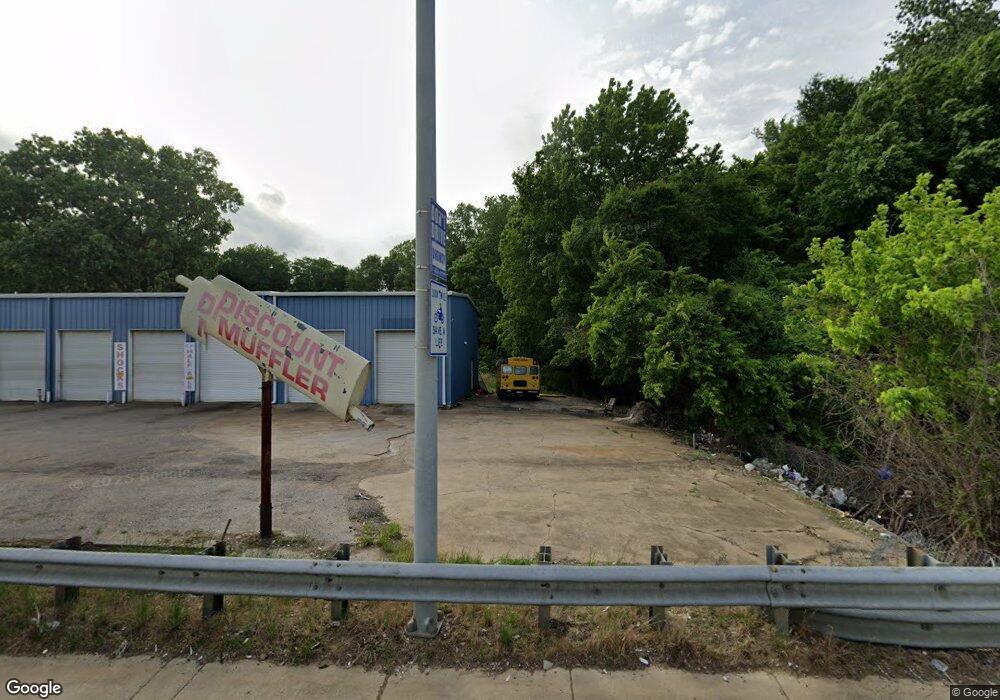
4345 U S 61 Memphis, TN 38109
Westwood NeighborhoodEstimated Value: $207,806
About This Home
This home is located at 4345 U S 61, Memphis, TN 38109 and is currently estimated at $207,806, approximately $192 per square foot. 4345 U S 61 is a home located in Shelby County with nearby schools including Levi Elementary School, Chickasaw Middle School, and Westwood High School.
Ownership History
We collect this data history from publicly available records. To have your information removed, we recommend requesting removal directly through your county’s website.
Purchase Details
Purchase Details
Home Financials for this Owner
Home Financials are based on the most recent Mortgage that was taken out on this home.Home Values in the Area
Average Home Value in this Area
Purchase History
We collect this data history from publicly available records. To have your information removed, we recommend requesting removal directly through your county’s website.
| Date | Buyer | Sale Price | Title Company |
|---|---|---|---|
| -- | Attorney | ||
| $120,000 | None Available |
Mortgage History
We collect this data history from publicly available records. To have your information removed, we recommend requesting removal directly through your county’s website.
| Date | Status | Borrower | Loan Amount |
|---|---|---|---|
| Previous Owner | $85,760 |
Tax History
We collect this data history from publicly available records. To have your information removed, we recommend requesting removal directly through your county’s website.
| Year | Tax Paid | Tax Assessment Tax Assessment Total Assessment is a certain percentage of the fair market value that is determined by local assessors to be the total taxable value of land and additions on the property. | Land | Improvement |
|---|---|---|---|---|
| 2025 | -- | -- | -- | -- |
| 2024 | -- | -- | -- | -- |
| 2022 | $3,830 | $62,880 | $27,120 | $35,760 |
| 2021 | $3,875 | $62,880 | $27,120 | $35,760 |
| 2020 | $4,037 | $55,720 | $27,120 | $28,600 |
| 2019 | $4,037 | $55,720 | $27,120 | $28,600 |
| 2018 | $4,037 | $55,720 | $27,120 | $28,600 |
| 2017 | $2,290 | $55,720 | $27,120 | $28,600 |
| 2016 | $2,328 | $53,280 | $0 | $0 |
| 2014 | $2,328 | $53,280 | $0 | $0 |
Map
- 4286 Tonawanda St
- 507 Tonto Rd
- 513 Tonto Dr
- 4314 Ford Rd
- 4360 Ford Rd
- 4324 Falcon Dr
- 4374 Ford Rd
- 498 Tuton Cove
- 4277 Falcon Cove
- 4265 Falcon Cove
- 603 Western Park Dr
- 4212 Falcon Dr
- 4334 Melwood St
- 646 Western Park Dr
- 624 Mohawk Ave
- 4501 S 3rd St
- 645 Parkrose Rd
- 4274 Deerland St
- 4445 Don St
- 693 Bonwood Ave
- 4345 Highway 61 S
- 445 Western Park Dr
- 4363 S 3rd St
- 480 Tonto Rd
- 4328 Loral Cove
- 4326 Loral Cove
- 4330 Loral Cove
- 488 Tonto Rd
- 4320 Loral Cove
- 477 Western Park Dr
- 4324 S 3rd St
- 4334 Loral Cove
- 489 Tonto Rd
- 494 Tonto Rd
- 4294 Tonawanda St
- 485 Western Park Dr
- 495 Tonto Rd
- 500 Tonto Rd
- 4335 Loral Cove
- 4295 Tonawanda St
Ask me questions while you tour the home.